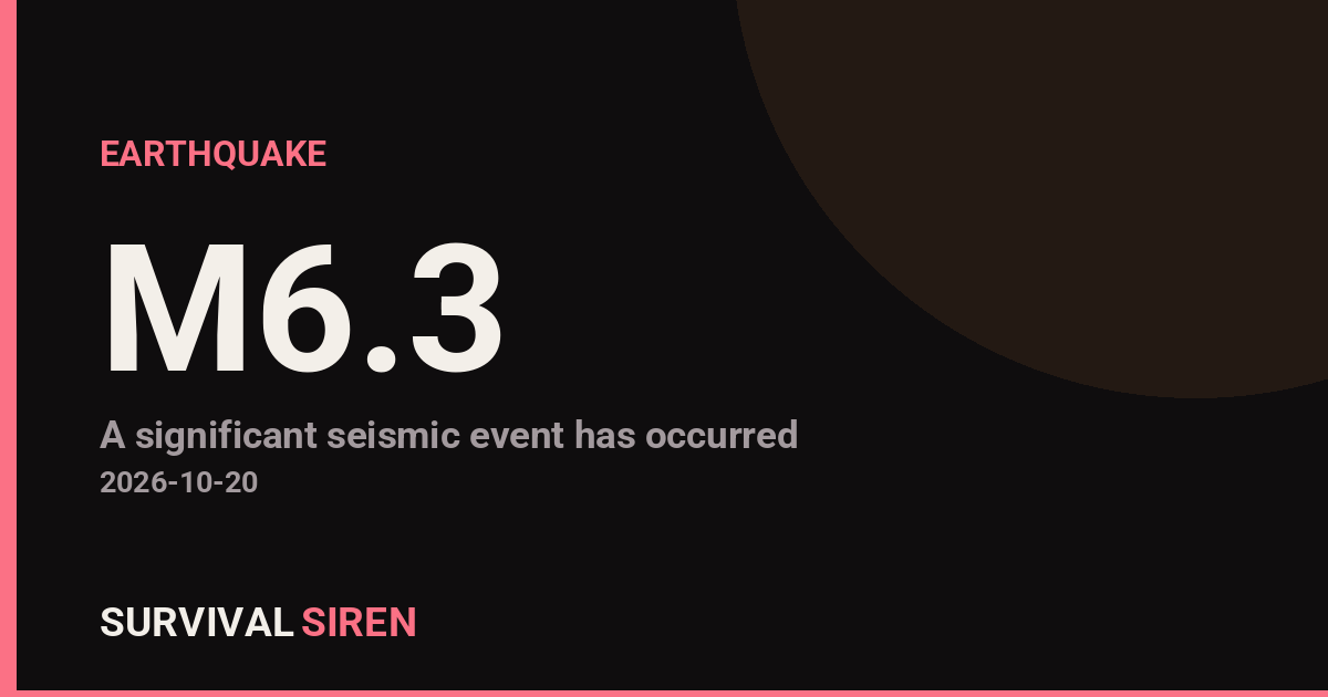
A magnitude 6.3 earthquake struck about 204 kilometers west-northwest of Port-Olry, Vanuatu, according to the USGS. The quake occurred at a shallow depth of roughly 10 kilometers, which means the energy reached the seafloor and surface with relatively little loss compared to deeper quakes.
Because the epicenter is offshore and fairly remote, the strongest shaking was felt on the northern islands of Vanuatu, including Espiritu Santo, where Port-Olry is located. Residents there may have felt strong, sustained shaking lasting several seconds. The nearest major population center, Port Vila (population around 50,000), sits roughly 511 kilometers from the epicenter, so shaking there would likely have been light to weak, if felt at all.
Damage assessments in remote Pacific islands can take hours to come in. Quakes of this size can damage vulnerable structures near the epicenter, particularly older or lightly built homes, and can trigger localized rockfalls or landslides on steep terrain.
What to watch for
First, aftershocks are expected after any magnitude 6+ event, and some can be strong enough to cause additional damage to already weakened buildings. Second, shallow offshore quakes in this region can occasionally generate local tsunamis, so coastal residents should follow guidance from Vanuatu authorities and move to higher ground if they feel strong, long shaking near the shore. Third, this area has been very active seismically – this is at least the 36th magnitude 5.0 or larger earthquake within roughly 300 kilometers in the past year – so residents should have basic supplies ready, know their evacuation routes, and secure heavy furniture and water heaters where possible.
For everyday preparedness: keep a kit with water, food, a flashlight, and a battery or hand-crank radio; identify safe spots in each room (under sturdy furniture, away from windows); and plan a meeting point with family in case of communication disruptions.
This information is based on earthquake data reported by the U.S. Geological Survey (USGS).
Frequently Asked Questions
Was the earthquake felt in Port Vila?
Possibly, but only lightly. Port Vila is about 511 kilometers from the epicenter, so any shaking there would likely have been weak. The strongest shaking was concentrated near the epicenter, around the northern islands near Port-Olry.
Is a tsunami possible from this quake?
Shallow, offshore magnitude 6.3 earthquakes can sometimes generate small, localized tsunamis. Coastal residents in Vanuatu should follow official local guidance and move to higher ground if they notice the sea receding or feel prolonged shaking near the shore.
Are aftershocks likely?
Yes. Aftershocks are normal after a magnitude 6+ earthquake and can continue for days to weeks. Most are smaller than the main quake, but some can be strong enough to further damage weakened structures.
Is this earthquake unusual for Vanuatu?
Not particularly. Vanuatu sits on a very active tectonic boundary, and this is at least the 36th magnitude 5.0 or larger earthquake within roughly 300 kilometers of this location in the past year.
Keep tracking this:
Source: USGS
Related Reading
- Top 10 YouTube Videos on How to Prepare for an Earthquake
- Global Seismic Stress Report: Southern Ocean Activity Rises While Six Segments Go Quiet
- Earthquake Survival: Precautions, Kit & Early Warning in 2026
Reported Impact
USGS’s automated PAGER system currently estimates a Green alert level (minimal expected casualties or damage); USGS flagged this event as having tsunami potential – check official tsunami warning centers for your region.
Impact figures are from USGS as of when this alert was generated and can rise as more reports come in – this is not a final damage assessment.
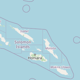

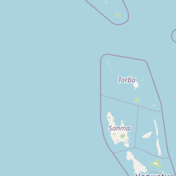

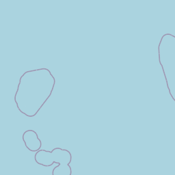
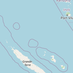
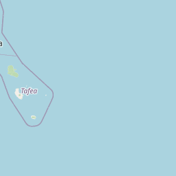
Map centered on the epicenter (-14.03, 165.48). Map data © OpenStreetMap contributors.
Sky & Solar Conditions at the Time
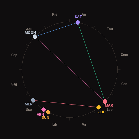
Moon: First Quarter (65% illuminated), in Aquarius.
Notable planetary angles: Moon opposite Mars (179°), Mars trine Saturn (122°), Mercury square Jupiter (87°), Moon sextile Saturn (56°).
Concurrent space weather: planetary Kp index 1.0; strongest recent solar flare: nothing notable.
This is a factual snapshot, not a claim of cause and effect – researchers are divided on whether lunar, planetary or solar factors influence seismic or weather activity. It’s included so readers can track the pattern for themselves over time.
Earthquakes Within ~400 km, Past 30 Days
For context, here is other recent seismic activity in the surrounding region (M2.5+, via USGS):
| Date & Time (UTC) | Magnitude | Location |
|---|---|---|
| 2026-10-19 18:55 UTC | M5.7 | 203 km WNW of Port-Olry, Vanuatu |
| 2026-10-19 18:52 UTC | M5.7 | 198 km NW of Port-Olry, Vanuatu |
| 2026-10-19 11:52 UTC | M4.8 | 212 km WNW of Port-Olry, Vanuatu |
| 2026-10-19 10:40 UTC | M5.4 | 196 km NW of Port-Olry, Vanuatu |
| 2026-10-19 09:25 UTC | M4.9 | 115 km NNW of Sola, Vanuatu |
| 2026-10-19 08:54 UTC | M4.9 | 202 km NW of Port-Olry, Vanuatu |
| 2026-10-19 08:21 UTC | M5.2 | 211 km WNW of Port-Olry, Vanuatu |
| 2026-10-19 08:12 UTC | M5.4 | 184 km WNW of Port-Olry, Vanuatu |
| 2026-10-19 07:55 UTC | M5.3 | 188 km NW of Port-Olry, Vanuatu |
| 2026-10-19 07:49 UTC | M6.0 | 186 km NW of Port-Olry, Vanuatu |
| 2026-10-19 07:20 UTC | M4.9 | 203 km WNW of Port-Olry, Vanuatu |
| 2026-10-19 07:00 UTC | M4.9 | 218 km WNW of Port-Olry, Vanuatu |
| 2026-10-17 08:59 UTC | M4.8 | 110 km NE of Norsup, Vanuatu |
| 2026-10-17 07:40 UTC | M4.5 | 80 km NW of Sola, Vanuatu |
| 2026-10-15 13:06 UTC | M5.2 | 157 km W of Sola, Vanuatu |
| 2026-10-11 05:07 UTC | M4.7 | 110 km SSE of Sola, Vanuatu |
| 2026-10-09 13:51 UTC | M5.2 | 101 km NE of Norsup, Vanuatu |
| 2026-10-08 18:09 UTC | M4.5 | 128 km ENE of Norsup, Vanuatu |
| 2026-10-08 09:00 UTC | M6.3 | 102 km NE of Norsup, Vanuatu |
| 2026-10-07 00:40 UTC | M4.1 | 195 km W of Sola, Vanuatu |
Emergency number for Vanuatu: 112 (General guidance – always verify locally, as this can vary by region.)