Skip to content
Latest

News

Red Alert: Tropical Storm Simon Hits Mexico’s Pacific Coast

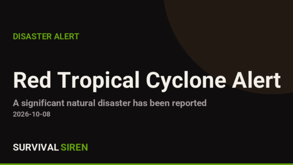
From 07/10/2026 to 08/10/2026, a Tropical Storm (maximum wind speed of 213 km/h) SIMON-26 was active in EastPacific. The cyclone affects these countries: Mexico (vulnerability Medium). Estimated population affected by category 1 (120 km/h) wind speeds or higher is 0.758 million . Classified Red by GDACS, the EU Joint Research Centre's Global Disaster Alert and Coordination System.

M6.3 Earthquake Strikes Near Norsup, Vanuatu

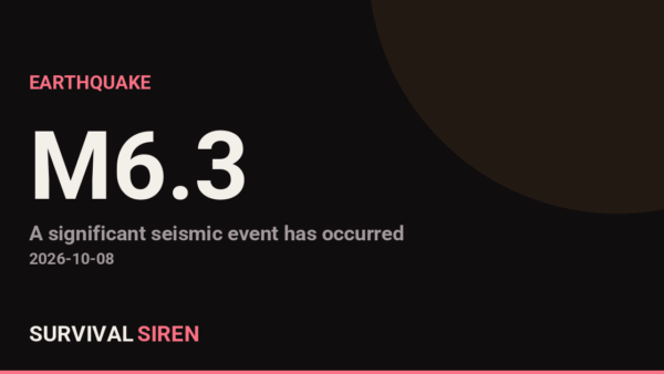
A magnitude 6.3 earthquake struck 102 km NE of Norsup, Vanuatu at a depth of about 10 km, reported by the USGS. Earthquakes of this size can cause significant damage to vulnerable structures near the epicenter. This is at least the 28th magnitude 5.0+ earthquake recorded within roughly 300 km of this location in the past year (27 others in that window). The nearest major population center is Port Vila, Vanuatu, roughly 244 km away (population ~50,000).

M6.6 Earthquake Strikes Near Norsup, Vanuatu — Shallow Quake in Active Seismic Zone

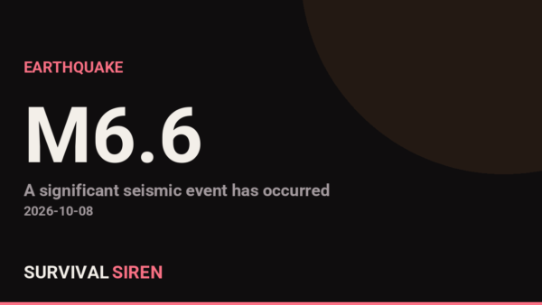
A magnitude 6.6 earthquake struck 105 km NE of Norsup, Vanuatu at a depth of about 10 km, reported by the USGS. Earthquakes of this size can cause significant damage to vulnerable structures near the epicenter. This is at least the 28th magnitude 5.0+ earthquake recorded within roughly 300 km of this location in the past year (27 others in that window). The nearest major population center is Port Vila, Vanuatu, roughly 250 km away (population ~50,000).

Hurricane Warning Issued for Northern Gulf Coast — 24 Areas Including Mobile Bay, Pensacola, and Mississippi Sound

Hurricane Warning issued October 7 at 9:59PM CDT by NWS New Orleans LA (National Weather Service, United States). Currently covers 24 areas: Southern Jackson; Coastal waters from Pensacola FL to Pascagoula MS out 20 NM; Coastal waters from Okaloosa-Walton County Line to Pensacola FL out 20 NM; Waters from Pensacola FL to Pascagoula MS from 20 to 60 NM; Waters from Okaloosa-Walton County Line to Pensacola FL from 20 to 60 NM; North Mobile Bay; South Mobile Bay; Mississippi Sound; Perdido Bay Area; Pensacola Bay Area including Santa Rosa Sound (+14 more areas).

Tropical Storm Warning Issued for Coastal Mississippi and Southeast Louisiana

Tropical Storm Warning issued October 7 at 9:59PM CDT by NWS New Orleans LA (National Weather Service, United States). Currently covers 9 areas: Southeast St. Tammany; Southern Hancock; Northern Jackson; Northern Harrison; Northern Hancock; Southern Harrison; Eastern Orleans; Lower St. Bernard; Lower Plaquemines.

Red Alert: Tropical Cyclone SIMON-26 Hits Mexico’s Pacific Coast

From 07/10/2026 to 07/10/2026, a Tropical Storm (maximum wind speed of 185 km/h) SIMON-26 was active in EastPacific. The cyclone affects these countries: Mexico (vulnerability Medium). Estimated population affected by category 1 (120 km/h) wind speeds or higher is 1.056 million . Classified Red by GDACS, the EU Joint Research Centre's Global Disaster Alert and Coordination System.

Orange Alert: Tropical Depression TWENTY-E-26 Active Off Mexico’s Pacific Coast

From 07/10/2026 to 07/10/2026, a Tropical Depression (maximum wind speed of 176 km/h) TWENTY-E-26 was active in EastPacific. The cyclone affects these countries: Mexico (vulnerability Medium). Estimated population affected by category 1 (120 km/h) wind speeds or higher is 59040 . Classified Orange by GDACS, the EU Joint Research Centre's Global Disaster Alert and Coordination System.

Widespread Power Outage Hits Tartu and South Estonia

A large-scale power outage is being reported: "Widespread power outage hits Tartu and South Estonia". Widespread outages can be caused by severe weather, grid failures, or - relevant to what this site tracks - a strong geomagnetic storm inducing damaging currents in transformers.

M1.4 Solar Flare Detected on the Sun — Minor Radio Blackouts Possible

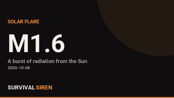
GOES satellites measured a M1.4-class solar flare peaking at 2026-10-06T06:10:00Z (X-ray flux 1.4e-5 W/m2, radio-blackout scale ~R1). Flares cause immediate shortwave radio blackouts on Earth's sunlit side. If this flare launched a CME toward Earth, a geomagnetic storm could follow in 1-3 days - worth watching the Kp index.

M1.1 Solar Flare Detected on the Sun – Minor Radio Blackouts Possible

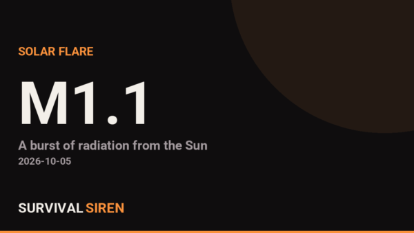
GOES satellites measured a M1.1-class solar flare peaking at 2026-10-05T18:48:00Z (X-ray flux 1.1e-5 W/m2, radio-blackout scale ~R1). Flares cause immediate shortwave radio blackouts on Earth's sunlit side. If this flare launched a CME toward Earth, a geomagnetic storm could follow in 1-3 days - worth watching the Kp index.

State Department Issues Worldwide Caution for U.S. Travelers

The U.S. State Department has issued a Worldwide Caution, urging Americans everywhere to exercise increased vigilance - typically prompted by heightened global tensions or an active conflict. Reported: "Security Alert: U.S. Embassy Jerusalem (October 4, 2026)".

London Power Outage: Thousands of Homes and Businesses Without Electricity

A large-scale power outage is being reported: "Power outage in London, thousands of homes and businesses remain without electricity". Widespread outages can be caused by severe weather, grid failures, or - relevant to what this site tracks - a strong geomagnetic storm inducing damaging currents in transformers.

Flood Warning: 43 Areas Under Warning Through 8:45 PM EDT

Flood Warning issued October 4 at 5:44PM EDT until October 4 at 8:45PM EDT by NWS Jacksonville FL (National Weather Service, United States). Currently covers 43 areas: Camden, GA; Callaway, MO; Osage, MO; Gasconade, MO; Montgomery, MO; Boone, MO; Cole, MO; Moniteau, MO; Pike, IL; Pike, MO (+33 more areas).
Nationwide Power Outage Reported Across Kenya

A large-scale power outage is being reported: "Kenya goes into nationwide power outage". Widespread outages can be caused by severe weather, grid failures, or - relevant to what this site tracks - a strong geomagnetic storm inducing damaging currents in transformers.

Powys Trunk Road Closed in Both Directions After Crash

A major road closure is being reported: "Powys trunk road closed in both directions after crash". Large-scale closures are usually caused by severe weather (flooding, ice, wildfire), a structural failure, or a serious multi-vehicle incident.

Flood Warning Issued for 53 Areas Across Missouri, Illinois, and Iowa

Flood Warning issued October 3 at 10:08PM CDT until October 7 at 7:00AM CDT by NWS St Louis MO (National Weather Service, United States). Currently covers 53 areas: Calhoun, IL; Pike, MO; Pike, IL; Polk, IA; Black Hawk, IA; Marion, IA; Warren, IA; Jasper, IA; Louisa, IA; Muscatine, IA (+43 more areas).
Flood Warning Covers 84 Areas Across Kansas and Missouri Through Thursday Night

Flood Warning issued October 2 at 10:22AM CDT until October 3 at 11:00PM CDT by NWS Kansas City/Pleasant Hill MO (National Weather Service, United States). Currently covers 84 areas: Atchison, KS; Leavenworth, KS; Platte, MO; Jackson, MO; Lafayette, MO; Ray, MO; Carroll, MO; Saline, MO; Chariton, MO; Howard, MO (+74 more areas).
Flood Warning: 103 Areas Across Missouri and Kansas Under Alert

Flood Warning issued October 1 at 3:50PM CDT by NWS Kansas City/Pleasant Hill MO (National Weather Service, United States). Currently covers 103 areas: Carroll, MO; Chariton, MO; Saline, MO; Leavenworth, KS; Platte, MO; Doniphan, KS; Andrew, MO; Buchanan, MO; Jackson, MO; Lafayette, MO (+93 more areas).
Flash Flood Warning in Effect for 18 Kansas Areas Until 6:00 PM CDT

Flash Flood Warning issued October 1 at 2:57PM CDT until October 1 at 6:00PM CDT by NWS Dodge City KS (National Weather Service, United States). Currently covers 18 areas: Gray, KS; Haskell, KS; Meade, KS; Seward, KS; Geary, KS; Jackson, KS; Nemaha, KS; Pottawatomie, KS; Riley, KS; Ford, KS (+8 more areas).
U.S. Raises Burundi Travel Advisory to Level 3: Reconsider Travel
Burundi has been raised to "Level 3: Reconsider Travel" by the U.S. State Department. Reconsider travelto Burundi due to political violence, crime, and health. Some areas have increased risk. Read the entire Travel Advisory. The possibility for political violence exists throughout Burundi. Police and military checkpoints are common and can limit movement. Police may search private homes for weapons. The borders may close without notice. Violent crimes like assault, carjacking, home invasion, grenade attacks, and armed robbery are possible. Criminals may target foreigners and resi This is the first change to Burundi's travel advisory level we've tracked.

Qatar Travel Advisory Raised to Level 3: Reconsider Travel

Qatar has been raised to "Level 3: Reconsider Travel" by the U.S. State Department. Reconsider travelto Qatar due to risk of armed conflict. U.S. government employee travel restrictions  As of August 28, 2026, family members may join U.S. government employees who work in Qatar. Armed Conflict Following the onset of hostilities between the United States and Iran on February 28, 2026, there has been an ongoing threat of drone and missile attacks from Iran and significant disruptions to commercial flights. Aviation Safety The Federal Aviation Administration (FAA) has issued a Noti This is the first change to Qatar's travel advisory level we've tracked.

Join our Newsletter

Subscribe to get our latest content by email.

We won't send you spam. Unsubscribe at any time.