
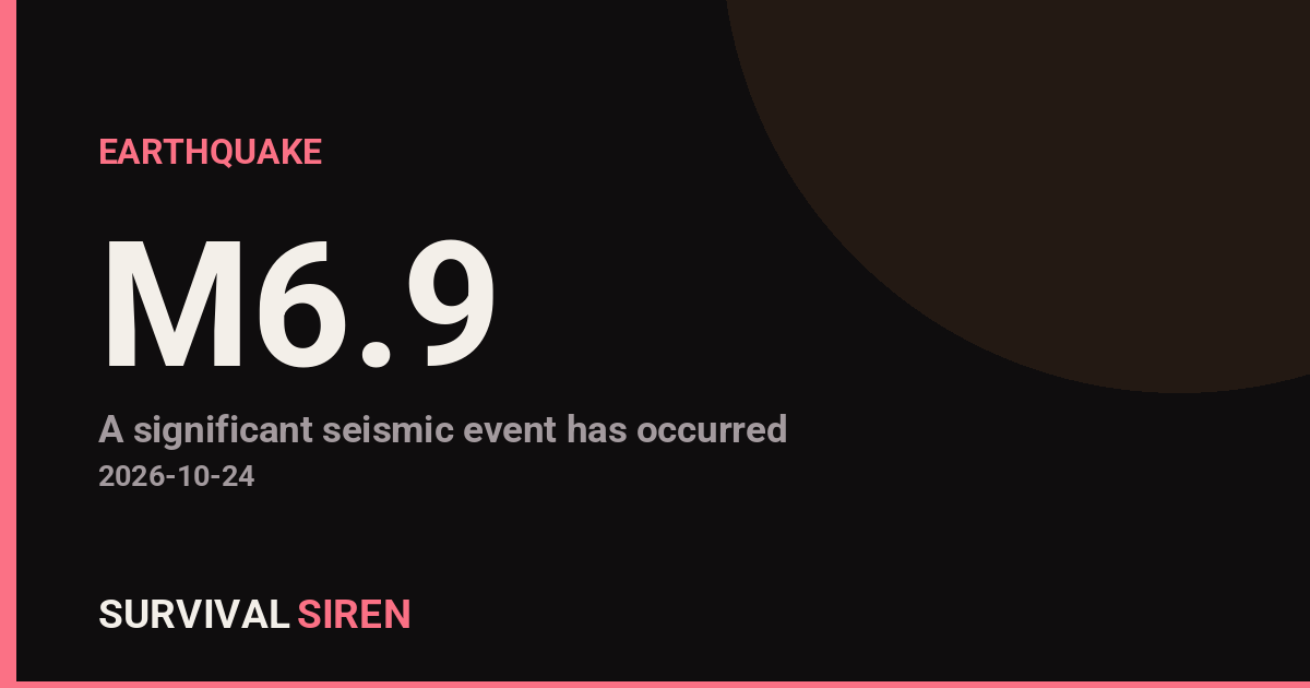
A strong magnitude 6.9 earthquake struck in the South Pacific on Thursday, centered about 197 kilometers west-northwest of Port-Olry, on Vanuatu’s Espiritu Santo island, according to the U.S. Geological Survey. The quake occurred at a shallow depth of roughly 10 kilometers, which typically means the shaking energy reaches the surface with less weakening than a deeper quake.
Because the epicenter is offshore in a sparsely populated stretch of ocean, the areas closest to the shaking are the northern islands of Vanuatu. People in Port-Olry and surrounding communities on Espiritu Santo may have felt strong shaking lasting several seconds. Port Vila, the capital and largest city with about 50,000 residents, sits roughly 505 kilometers from the epicenter; shaking there would be noticeably weaker, though it may still have been felt as a rolling or swaying sensation.
Earthquakes of this size can damage vulnerable structures near the epicenter, particularly older masonry or unreinforced buildings. Notably, this region is seismically very active: this is at least the 42nd magnitude 5.0 or greater earthquake recorded within about 300 kilometers of this location in the past year. Vanuatu sits on the boundary of the Australian and Pacific tectonic plates, one of the most earthquake-prone zones on Earth.
What to watch for
Aftershocks: Quakes of this magnitude are almost always followed by aftershocks, some of which can be strong enough to feel or to further damage weakened buildings. Residents near the epicenter should stay out of damaged structures until they are inspected.
Tsunami assessment: Shallow offshore earthquakes of this size can sometimes generate local tsunamis. If you are in a coastal area of Vanuatu and felt strong or long shaking, move to higher ground as a precaution and follow guidance from local authorities.
Local infrastructure: Check for damage to water lines, fuel storage, and roads, and be cautious of falling debris in the hours after the quake.
Data for this alert comes from the U.S. Geological Survey (USGS) earthquake monitoring network.
Frequently Asked Questions
Was it felt in Port Vila or other cities?
Port Vila is about 505 km from the epicenter, so shaking there would be much weaker than near Espiritu Santo, though light swaying may have been felt. Communities on northern Espiritu Santo, including Port-Olry, are closest and most likely felt strong shaking.
Is a tsunami possible from this quake?
A shallow, magnitude 6.9 offshore earthquake can generate a local tsunami, though not all do. Coastal residents in Vanuatu should follow local authorities and move to higher ground if they felt strong, prolonged shaking or observe unusual ocean behavior.
Are aftershocks likely?
Yes. Aftershocks are expected after a magnitude 6.9 earthquake and can continue for days to weeks; some may be strong enough to feel. This region is already highly active, with over 40 magnitude 5.0+ quakes recorded nearby in the past year.
Should travelers to Vanuatu be concerned?
Travelers should check with airlines and accommodations for any local disruptions, particularly on Espiritu Santo. There is no indication of widespread damage at this distance, but conditions near the epicenter should be confirmed before travel to the northern islands.
Keep tracking this:
Source: USGS
Related Reading
- Top 10 YouTube Videos on How to Prepare for an Earthquake
- Global Seismic Stress Report: Southern Ocean Activity Rises While Six Segments Go Quiet
- Earthquake Survival: Precautions, Kit & Early Warning in 2026
Reported Impact
3 people have reported feeling this quake to USGS’s “Did You Feel It?” system so far; the maximum reported shaking intensity is 3.6 on the Community Decimal Intensity scale; USGS’s automated PAGER system currently estimates a Green alert level (minimal expected casualties or damage); USGS flagged this event as having tsunami potential – check official tsunami warning centers for your region.
Impact figures are from USGS as of when this alert was generated and can rise as more reports come in – this is not a final damage assessment.
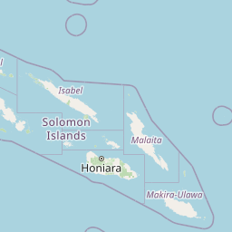
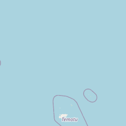

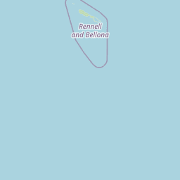
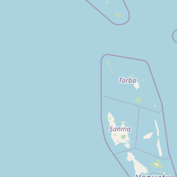


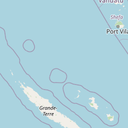
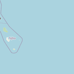
Map centered on the epicenter (-14.06, 165.55). Map data © OpenStreetMap contributors.
Sky & Solar Conditions at the Time
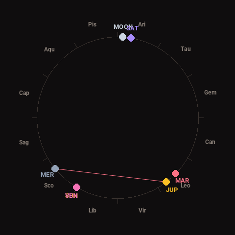
Moon: Waxing Gibbous (95% illuminated), in Aries.
Notable planetary angles: Sun conjunct Venus (0°), Mercury square Jupiter (88°).
Concurrent space weather: planetary Kp index 1.7; strongest recent solar flare: nothing notable.
This is a factual snapshot, not a claim of cause and effect – researchers are divided on whether lunar, planetary or solar factors influence seismic or weather activity. It’s included so readers can track the pattern for themselves over time.
Earthquakes Within ~400 km, Past 30 Days
For context, here is other recent seismic activity in the surrounding region (M2.5+, via USGS):
| Date & Time (UTC) | Magnitude | Location |
|---|---|---|
| 2026-10-23 22:42 UTC | M4.9 | 115 km NE of Norsup, Vanuatu |
| 2026-10-23 22:05 UTC | M5.1 | 203 km NW of Port-Olry, Vanuatu |
| 2026-10-22 12:22 UTC | M4.9 | 200 km NW of Port-Olry, Vanuatu |
| 2026-10-21 18:41 UTC | M5.0 | 190 km WNW of Port-Olry, Vanuatu |
| 2026-10-21 18:40 UTC | M4.7 | 202 km WNW of Port-Olry, Vanuatu |
| 2026-10-21 15:22 UTC | M4.9 | 208 km WNW of Port-Olry, Vanuatu |
| 2026-10-21 14:56 UTC | M5.0 | 194 km WNW of Port-Olry, Vanuatu |
| 2026-10-21 14:35 UTC | M4.9 | 207 km WNW of Port-Olry, Vanuatu |
| 2026-10-21 04:23 UTC | M4.7 | 173 km NW of Port-Olry, Vanuatu |
| 2026-10-20 20:03 UTC | M4.9 | 187 km NW of Port-Olry, Vanuatu |
| 2026-10-20 11:40 UTC | M4.9 | 184 km NW of Port-Olry, Vanuatu |
| 2026-10-20 08:39 UTC | M4.9 | 199 km NW of Port-Olry, Vanuatu |
| 2026-10-20 06:29 UTC | M5.2 | 206 km NW of Port-Olry, Vanuatu |
| 2026-10-20 04:20 UTC | M6.3 | 197 km NW of Port-Olry, Vanuatu |
| 2026-10-20 04:20 UTC | M6.6 | 195 km NW of Port-Olry, Vanuatu |
| 2026-10-20 00:58 UTC | M4.8 | 197 km NW of Port-Olry, Vanuatu |
| 2026-10-20 00:38 UTC | M5.0 | 205 km NW of Port-Olry, Vanuatu |
| 2026-10-19 18:55 UTC | M5.7 | 203 km WNW of Port-Olry, Vanuatu |
| 2026-10-19 18:52 UTC | M5.7 | 198 km NW of Port-Olry, Vanuatu |
| 2026-10-19 11:52 UTC | M4.8 | 212 km WNW of Port-Olry, Vanuatu |
Emergency number for Vanuatu: 112 (General guidance – always verify locally, as this can vary by region.)