A powerful tropical cyclone named ARNAB-26 has triggered a Red alert – the highest warning level – for India, according to the Global Disaster Alert and Coordination System (GDACS). The storm, active on October 26, 2026, packed maximum sustained winds of 204 km/h (about 127 mph), well above the 119 km/h threshold for hurricane-force strength. An estimated 3.05 million people are in areas experiencing Category 1 wind speeds (120 km/h) or higher.
India’s vulnerability rating for this event is listed as High, meaning communities in the cyclone’s path face significant risk from destructive winds, flooding rains, and storm surge along coastal areas. Storms of this strength can tear roofs from buildings, uproot trees, bring down power lines, and make roads impassable.
What readers might notice
If you are in or near the affected region, expect heavy rain, very strong winds, possible flooding of low-lying and coastal areas, power and mobile-network outages, and disruption to flights, trains, and ferry services. Authorities in affected states typically issue evacuation orders for coastal and low-lying zones – follow local instructions promptly.
Sensible steps to take
1. Move to shelter early. If you are in the warned area, get to a sturdy building or a designated cyclone shelter before the strongest winds arrive – travel becomes dangerous well before peak conditions.
2. Prepare for outages. Charge phones and power banks, fill containers with drinking water, keep flashlights and batteries handy, and store food that does not need refrigeration. Power cuts after cyclones can last days.
3. Avoid floodwater. Do not walk or drive through flooded streets – water can hide open drains, debris, and live electrical lines, and even shallow moving water can knock a person down or stall a vehicle.
After the storm passes, continue monitoring official forecasts, as heavy rain and river flooding often persist well after the winds die down.
This alert is based on data from GDACS, the EU Joint Research Centre’s Global Disaster Alert and Coordination System, drawing on tropical cyclone tracking from international meteorological agencies.
Frequently Asked Questions
How strong is Cyclone ARNAB-26?
ARNAB-26 reached maximum sustained winds of 204 km/h (about 127 mph), which is well into major hurricane strength and capable of severe structural damage.
How many people are at risk from this cyclone?
GDACS estimates roughly 3.05 million people are in areas experiencing wind speeds of at least 120 km/h (Category 1), with far more likely affected by heavy rain and flooding beyond the high-wind zone.
Should I evacuate if I live near the coast?
If local authorities have issued an evacuation order for your area, leave early for a designated cyclone shelter or sturdy inland building – storm surge and flooding are the deadliest parts of cyclones like this.
When will conditions improve?
The core of the storm was active on October 26, 2026, but dangerous rain, river flooding, and power outages often continue for days after the strongest winds pass, so keep monitoring official forecasts even after the cyclone weakens.
Keep tracking this:
Source: GDACS (EU Joint Research Centre)
Related Reading

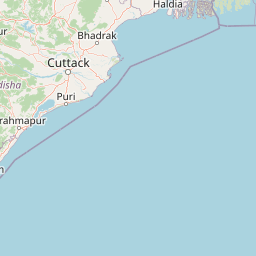
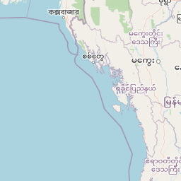


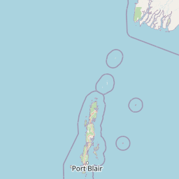


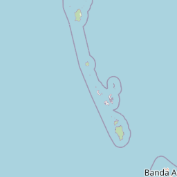
Map centered on the epicenter (15.30, 88.40). Map data © OpenStreetMap contributors.
Sky & Solar Conditions at the Time
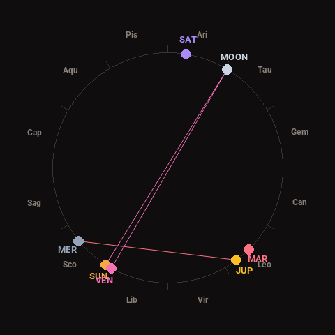
Moon: Full Moon (100% illuminated), in Taurus.
Notable planetary angles: Sun opposite Moon (179°), Moon opposite Venus (178°), Mercury square Jupiter (87°), Sun conjunct Venus (3°).
Concurrent space weather: planetary Kp index 1.0; strongest recent solar flare: nothing notable.
This is a factual snapshot, not a claim of cause and effect – researchers are divided on whether lunar, planetary or solar factors influence seismic or weather activity. It’s included so readers can track the pattern for themselves over time.