
Last updated November 16, 2026 at 20:30 UTC. This page is updated in place as the situation changes, rather than published as a new article each time.
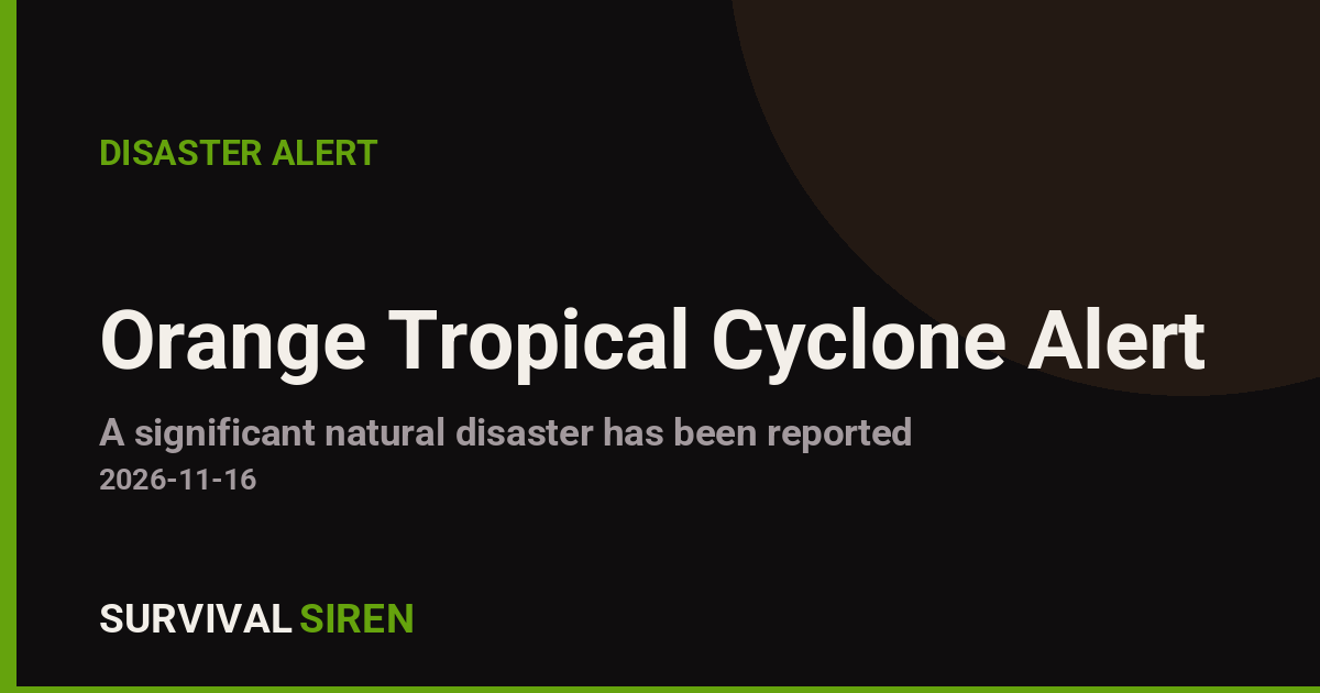
A tropical cyclone named Akvan-26 is active in the North Indian Ocean and is affecting India, according to an Orange-level alert issued by the Global Disaster Alert and Coordination System (GDACS). The system reached maximum sustained winds of about 93 km/h (roughly 58 mph), putting it in the tropical storm category. An Orange alert is GDACS’s middle severity level, signaling a significant event that warrants close attention and local preparedness.
Based on current tracking, no population centers are expected to experience Category 1 hurricane-force winds (120 km/h or higher). However, an estimated 20.8 million people in India fall within the broader tropical storm wind field, meaning millions could see gusty winds, heavy rain, and rough conditions, particularly in coastal and low-lying areas.
What readers in affected areas might notice
Expect periods of heavy rainfall, strong gusts capable of downing tree branches and weak structures, localized flooding in poor-drainage areas, and disruptions to ferry services, fishing activity, and possibly road and rail travel. Power outages are common in storms like this, especially where lines run through trees. Coastal communities may also see higher-than-normal waves and minor storm surge.
India’s vulnerability rating for this event is assessed as High, reflecting dense coastal populations and infrastructure exposure rather than extreme storm intensity.
Sensible steps to take:
1. Follow advisories from the India Meteorological Department (IMD) and your local disaster management authority, and avoid coastal areas, beaches, and low-lying flood-prone zones until the storm passes. 2. Charge phones and power banks, keep flashlights and drinking water handy, and secure loose outdoor items like furniture and signage. 3. If you live in a flood-prone area, know your nearest shelter location and avoid driving through waterlogged roads — even shallow moving water can stall or sweep a vehicle.
This information comes from GDACS, the EU Joint Research Centre’s Global Disaster Alert and Coordination System, which uses forecast data from international meteorological agencies including the India Meteorological Department.
Frequently Asked Questions
How strong is Cyclone Akvan-26?
It reached maximum sustained winds of about 93 km/h (58 mph), classifying it as a tropical storm — below Category 1 cyclone strength of 120 km/h. No populated areas are currently forecast to experience Category 1 winds or higher.
Who is affected by this storm?
An estimated 20.8 million people in India are within the tropical storm wind field, mainly in coastal and nearby inland regions. They can expect gusty winds, heavy rain, and possible localized flooding rather than destructive hurricane-force winds.
What should I do right now if I'm in the affected area?
Stay indoors during the worst of the weather, keep away from beaches and riverbanks, charge your devices, and follow updates from the India Meteorological Department and local authorities. Avoid driving through flooded roads.
How long will Akvan-26 last?
Current GDACS data covers activity on 16 November 2026, and tropical storms typically weaken within a day or two after making landfall. Rain and flooding can linger after winds die down, so keep monitoring official forecasts even as conditions improve.
Keep tracking this:
Source: GDACS (EU Joint Research Centre)
Related Reading

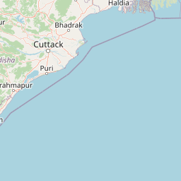
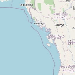


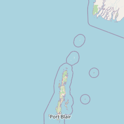


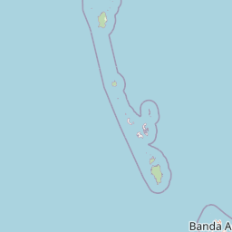
Map centered on the epicenter (11.30, 86.70). Map data © OpenStreetMap contributors.
Sky & Solar Conditions at the Time
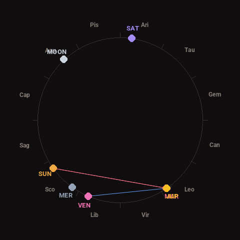
Moon: First Quarter (44% illuminated), in Aquarius.
Notable planetary angles: Mars conjunct Jupiter (0°), Sun square Jupiter (89°), Sun square Mars (88°), Venus sextile Jupiter (57°).
Concurrent space weather: planetary Kp index 0.7; strongest recent solar flare: nothing notable.
This is a factual snapshot, not a claim of cause and effect – researchers are divided on whether lunar, planetary or solar factors influence seismic or weather activity. It’s included so readers can track the pattern for themselves over time.