
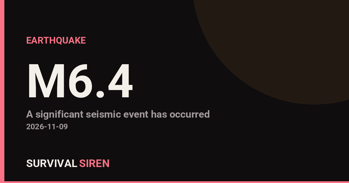
A magnitude 6.4 earthquake struck about 27 kilometers southwest of Lata, Solomon Islands, at a depth of roughly 25 kilometers, according to the USGS. This is a strong, shallow earthquake — shallow quakes tend to shake the ground more intensely near the epicenter than deeper ones of the same size.
The epicenter sits in the Santa Cruz Islands region of the South Pacific, a geologically active area where the Australian Plate pushes beneath the Pacific Plate. Communities closest to the epicenter, including Lata and surrounding villages on Santa Cruz Island (Nendö), would have felt strong shaking. The nearest major population center is Honiara, roughly 641 kilometers away with about 90,000 residents; shaking there would likely have been light or moderate, and damage in the capital is not expected.
Earthquakes of this size can cause significant damage to vulnerable structures near the epicenter — unreinforced masonry, older timber homes on weak foundations, and poorly built infrastructure are most at risk. Falling objects and minor landslides are also common in hilly island terrain.
This event fits a broader pattern: it is at least the 14th magnitude 5.0 or stronger earthquake recorded within about 300 kilometers of this location in the past year. The region is one of the most seismically active zones on Earth, so frequent strong quakes here are normal rather than unusual.
What to Watch For
First, expect aftershocks. A quake this size is typically followed by days to weeks of smaller tremors, some potentially magnitude 5 or higher — these can further damage weakened buildings. Second, watch for any tsunami assessment: shallow undersea quakes near island arcs can generate local tsunamis, so anyone in coastal areas of the Santa Cruz Islands should stay aware of local guidance. Third, if you have family or contacts in the region, communications may be briefly disrupted; give local networks time to recover before assuming the worst.
Data for this alert comes from the U.S. Geological Survey (USGS) earthquake monitoring network.
Frequently Asked Questions
Was the earthquake felt in Honiara or other cities?
Honiara is about 641 km from the epicenter, so residents there may have felt light to moderate shaking, but significant damage in the capital is unlikely. The strongest shaking was concentrated around Lata and the Santa Cruz Islands near the epicenter.
Is a tsunami possible from this earthquake?
Shallow, magnitude 6.4 undersea quakes in this region can generate small, local tsunamis, though a widespread Pacific-wide tsunami is not expected at this magnitude. Coastal residents in the Santa Cruz Islands should follow local authorities and move to higher ground if they notice unusual sea behavior.
Are aftershocks likely?
Yes. Earthquakes of this size are typically followed by aftershocks for days to weeks, and some can reach magnitude 5 or higher. People near the epicenter should be cautious around damaged buildings.
Is this part of a larger pattern of earthquakes in the area?
Yes — this is at least the 14th magnitude 5.0+ quake within about 300 km of this location in the past year. The Solomon Islands sit on an active tectonic boundary, so frequent strong earthquakes are normal for the region.
Keep tracking this:
Source: USGS
Related Reading
- Bug Out Bags: What the Best-Selling 72-Hour Kits on Amazon Actually Deliver
- Top 10 YouTube Videos on How to Prepare for an Earthquake
- Global Seismic Stress Report: Southern Ocean Activity Rises While Six Segments Go Quiet



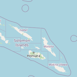

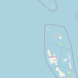

Map centered on the epicenter (-10.90, 165.62). Map data © OpenStreetMap contributors.
Sky & Solar Conditions at the Time
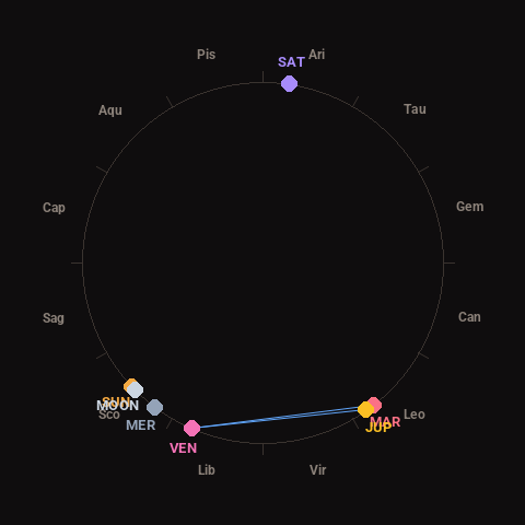
Moon: New Moon (0% illuminated), in Scorpio.
Notable planetary angles: Venus sextile Mars (61°), Sun conjunct Moon (1°), Venus sextile Jupiter (58°), Mars conjunct Jupiter (3°).
Concurrent space weather: planetary Kp index 3.0; strongest recent solar flare: nothing notable.
This is a factual snapshot, not a claim of cause and effect – researchers are divided on whether lunar, planetary or solar factors influence seismic or weather activity. It’s included so readers can track the pattern for themselves over time.
Earthquakes Within ~400 km, Past 30 Days
For context, here is other recent seismic activity in the surrounding region (M2.5+, via USGS):
| Date & Time (UTC) | Magnitude | Location |
|---|---|---|
| 2026-11-02 20:54 UTC | M4.6 | 226 km NW of Port-Olry, Vanuatu |
| 2026-11-01 12:08 UTC | M4.8 | 203 km NW of Port-Olry, Vanuatu |
| 2026-11-01 11:56 UTC | M4.8 | 176 km NW of Port-Olry, Vanuatu |
| 2026-11-01 11:47 UTC | M6.0 | 165 km NW of Port-Olry, Vanuatu |
| 2026-11-01 07:37 UTC | M4.7 | 191 km NW of Port-Olry, Vanuatu |
| 2026-11-01 07:00 UTC | M5.1 | 201 km NW of Port-Olry, Vanuatu |
| 2026-11-01 06:26 UTC | M5.4 | 203 km NW of Port-Olry, Vanuatu |
| 2026-10-31 23:57 UTC | M4.8 | 199 km NW of Port-Olry, Vanuatu |
| 2026-10-31 22:42 UTC | M5.2 | 200 km NW of Port-Olry, Vanuatu |
| 2026-10-31 11:31 UTC | M5.0 | 196 km NW of Port-Olry, Vanuatu |
| 2026-10-31 09:18 UTC | M4.9 | 236 km NW of Port-Olry, Vanuatu |
| 2026-10-31 09:15 UTC | M4.9 | 213 km W of Sola, Vanuatu |
| 2026-10-30 22:14 UTC | M4.7 | 222 km NW of Port-Olry, Vanuatu |
| 2026-10-30 15:23 UTC | M4.5 | 224 km NW of Port-Olry, Vanuatu |
| 2026-10-30 12:40 UTC | M4.7 | 148 km NW of Port-Olry, Vanuatu |
| 2026-10-30 07:11 UTC | M4.3 | 222 km W of Sola, Vanuatu |
| 2026-10-28 22:50 UTC | M4.5 | 195 km SE of Lata, Solomon Islands |
| 2026-10-28 04:31 UTC | M5.0 | 200 km W of Sola, Vanuatu |
| 2026-10-28 02:59 UTC | M5.6 | 174 km NW of Port-Olry, Vanuatu |
| 2026-10-28 02:21 UTC | M6.0 | 214 km NW of Port-Olry, Vanuatu |
Emergency number for Solomon Islands: 999 (General guidance – always verify locally, as this can vary by region.)