Last updated November 1, 2026 at 07:30 UTC. This page is updated in place as the situation changes, rather than published as a new article each time.
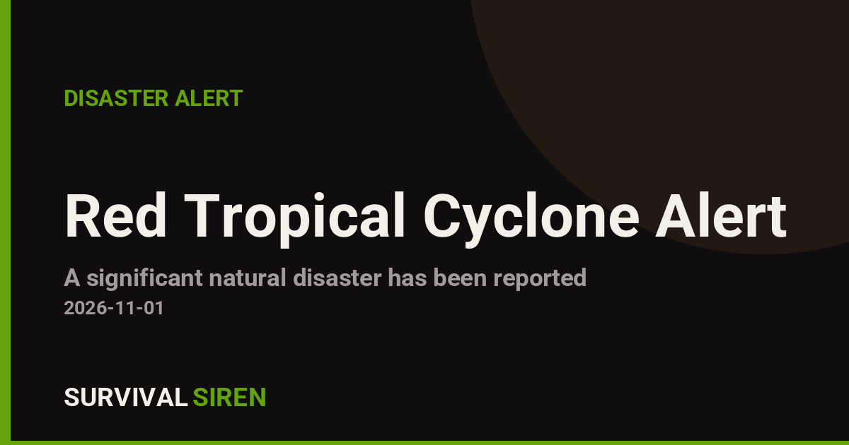
A tropical cyclone designated FOUR-26 made its presence felt in the North Indian Ocean region on November 1, 2026, bringing sustained winds of up to 120 km/h (about 75 mph) to parts of coastal India. The Global Disaster Alert and Coordination System (GDACS), run by the EU Joint Research Centre, has classified this as a Red alert – its highest severity level – because of the storm’s strength and the large number of people in its path.
An estimated 1.156 million people are expected to experience Category 1-equivalent winds (120 km/h or higher). India’s vulnerability rating for this event is assessed as High, reflecting dense coastal populations and infrastructure that can struggle under cyclone conditions. Winds of this strength can down trees and power lines, damage weaker structures and roofing, and disrupt transport and communications.
What readers in affected areas may notice
Residents in the cyclone’s path should expect heavy rain, strong gusts, rough seas along the coast, and likely power and mobile-network interruptions. Localized flooding is possible in low-lying and poor-drainage areas, and authorities may issue evacuation or shelter-in-place orders in the most exposed coastal districts.
Practical pointers:
1. Stay indoors and away from windows during the strongest winds; avoid coastal areas, riverbanks, and flooded roads entirely.
2. Keep phones charged, have flashlights, drinking water, and basic medicines ready in case power or supply lines are cut for a day or more.
3. Follow instructions from India’s National Disaster Management Authority and local officials, and check on elderly neighbors or family members once conditions ease.
Data for this alert comes from the GDACS system (EU Joint Research Centre), with cyclone tracking supported by the India Meteorological Department and NOAA partners.
Frequently Asked Questions
How strong is Cyclone FOUR-26?
It is a tropical storm with maximum sustained winds of 120 km/h (about 75 mph), equivalent to a Category 1 hurricane on the Saffir-Simpson scale – enough to damage weak structures, down trees, and knock out power.
How many people are affected?
GDACS estimates roughly 1.156 million people in India will experience winds of 120 km/h or higher, which is why the alert level is Red, the highest category.
Is flooding a risk with this storm?
Yes – cyclones of this strength typically bring heavy rain and storm surge along the coast, so low-lying and poor-drainage areas face real localized flood risk.
How long will the storm last?
The event window listed is November 1, 2026; tropical systems at this strength usually pass a given location within 12-24 hours, though rain and flooding can linger afterward.
Keep tracking this:
Source: GDACS (EU Joint Research Centre)
Related Reading

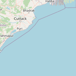
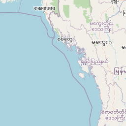


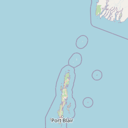


Map centered on the epicenter (12.20, 84.80). Map data © OpenStreetMap contributors.
Sky & Solar Conditions at the Time
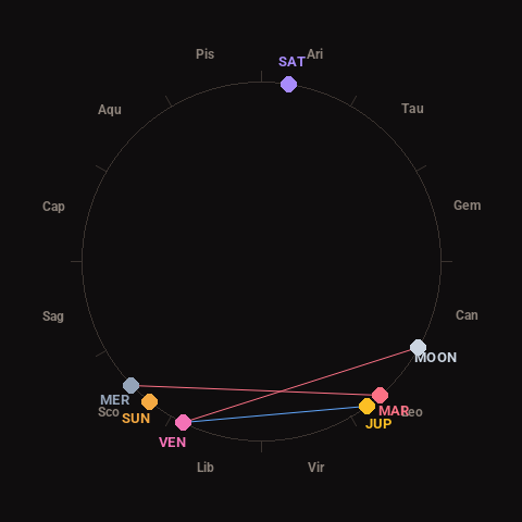
Moon: Last Quarter (58% illuminated), in Cancer.
Notable planetary angles: Venus sextile Jupiter (62°), Mercury square Mars (88°), Moon square Venus (87°).
Concurrent space weather: planetary Kp index 4.3; strongest recent solar flare: nothing notable.
This is a factual snapshot, not a claim of cause and effect – researchers are divided on whether lunar, planetary or solar factors influence seismic or weather activity. It’s included so readers can track the pattern for themselves over time.