
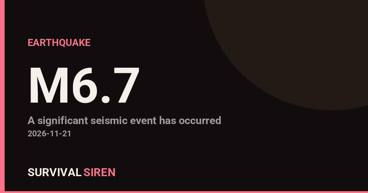
A magnitude 6.7 earthquake struck central Peru today, centered about 9 kilometers northeast of the town of Carhuamayo, according to the U.S. Geological Survey. The quake occurred at a depth of roughly 108 kilometers, which classifies it as a deep-focus event. Depth matters: deeper quakes tend to spread shaking over a wider area but generally cause less intense surface damage than a shallow quake of the same size.
What happened and who is affected
The epicenter sits in the Junín region of the Peruvian Andes, a rural, mountainous area. The nearest major population center is Lima, roughly 176 kilometers to the southwest, home to about 10.7 million people. Residents in Lima and other central Peruvian cities may have felt noticeable shaking — deep quakes in this subduction zone are often felt hundreds of kilometers away — but the depth reduces the likelihood of severe damage in the capital. The greatest risk is to communities closest to the epicenter, where older adobe and unreinforced masonry buildings are most vulnerable to damage even from moderate shaking.
This is not an isolated event. At least five earthquakes of magnitude 5.0 or greater have been recorded within about 300 kilometers of this location in the past year, including four others before today. Peru sits on the boundary where the Nazca Plate slides beneath the South American Plate, one of the most seismically active zones in the world, so strong earthquakes are a routine hazard for the region.
What readers might notice: possible power flickers or brief outages near the epicenter, rockfalls on mountain roads, suspended items swinging indoors, and potential disruptions to travel on highland highways. Authorities may temporarily close routes to inspect bridges and slopes for landslide damage.
Sensible watch-items: First, expect aftershocks — some could be strong enough to feel — and treat any visibly damaged building as unsafe until inspected. Second, if you are in the affected region, check on water and gas lines in your home and keep a flashlight and charged phone handy overnight. Third, travelers in the central Andes should confirm road conditions before driving, as rockfalls are common after quakes in steep terrain. Coastal residents should know that a deep inland quake like this one is not expected to generate a tsunami, and no tsunami threat has been issued.
Data for this alert comes from the U.S. Geological Survey (USGS) earthquake monitoring program.
Frequently Asked Questions
Was the earthquake felt in Lima?
Likely yes. Lima is about 176 km from the epicenter, and deep earthquakes of magnitude 6.7 in Peru's subduction zone are commonly felt across wide areas, though typically as moderate swaying rather than violent shaking.
Is there a tsunami risk from this quake?
No. The quake occurred inland at a depth of about 108 km, and deep-focus earthquakes like this do not displace the seafloor in a way that generates tsunamis. No tsunami alert has been issued.
Are aftershocks likely?
Yes, aftershocks are expected following a magnitude 6.7 event, and some may be felt in nearby towns. Most are smaller than the main quake, but residents should stay alert and avoid damaged structures.
How much damage should be expected?
The quake's 108 km depth works in the region's favor, weakening shaking at the surface. The main concern is vulnerable adobe and unreinforced buildings near the epicenter; damage in Lima is expected to be minimal.
Keep tracking this:
Source: USGS
Related Reading
- Bug Out Bags: What the Best-Selling 72-Hour Kits on Amazon Actually Deliver
- Top 10 YouTube Videos on How to Prepare for an Earthquake
- Global Seismic Stress Report: Southern Ocean Activity Rises While Six Segments Go Quiet
Reported Impact
16 people have reported feeling this quake to USGS’s “Did You Feel It?” system so far; the maximum reported shaking intensity is 4.4 on the Community Decimal Intensity scale; USGS flagged this event as having tsunami potential – check official tsunami warning centers for your region.
Impact figures are from USGS as of when this alert was generated and can rise as more reports come in – this is not a final damage assessment.


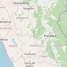
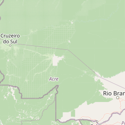

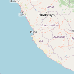
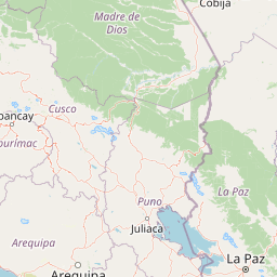
Map centered on the epicenter (-10.85, -75.98). Map data © OpenStreetMap contributors.
Sky & Solar Conditions at the Time
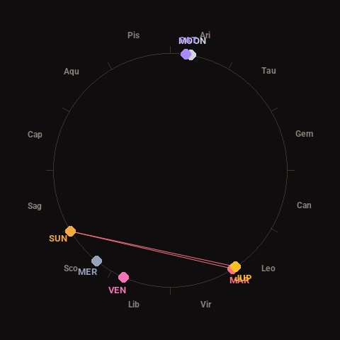
Moon: Waxing Gibbous (83% illuminated), in Aries.
Notable planetary angles: Sun square Mars (91°), Mars conjunct Jupiter (2°), Moon conjunct Saturn (2°), Sun square Jupiter (92°).
Concurrent space weather: planetary Kp index 0.7; strongest recent solar flare: nothing notable.
This is a factual snapshot, not a claim of cause and effect – researchers are divided on whether lunar, planetary or solar factors influence seismic or weather activity. It’s included so readers can track the pattern for themselves over time.
Earthquakes Within ~400 km, Past 30 Days
For context, here is other recent seismic activity in the surrounding region (M2.5+, via USGS):
| Date & Time (UTC) | Magnitude | Location |
|---|---|---|
| 2026-11-13 12:37 UTC | M4.4 | 52 km NE of Santa Rosa, Peru |
| 2026-11-13 10:32 UTC | M4.4 | 51 km ESE of Tournavista, Peru |
| 2026-11-07 05:36 UTC | M4.3 | 37 km E of Churubamba, Peru |
| 2026-11-02 15:28 UTC | M5.1 | 43 km W of Huarmey, Peru |
| 2026-10-29 08:17 UTC | M4.4 | 35 km SE of San Fernando, Peru |
Emergency number for Peru: 105 (police) / 116 (ambulance) (General guidance – always verify locally, as this can vary by region.)