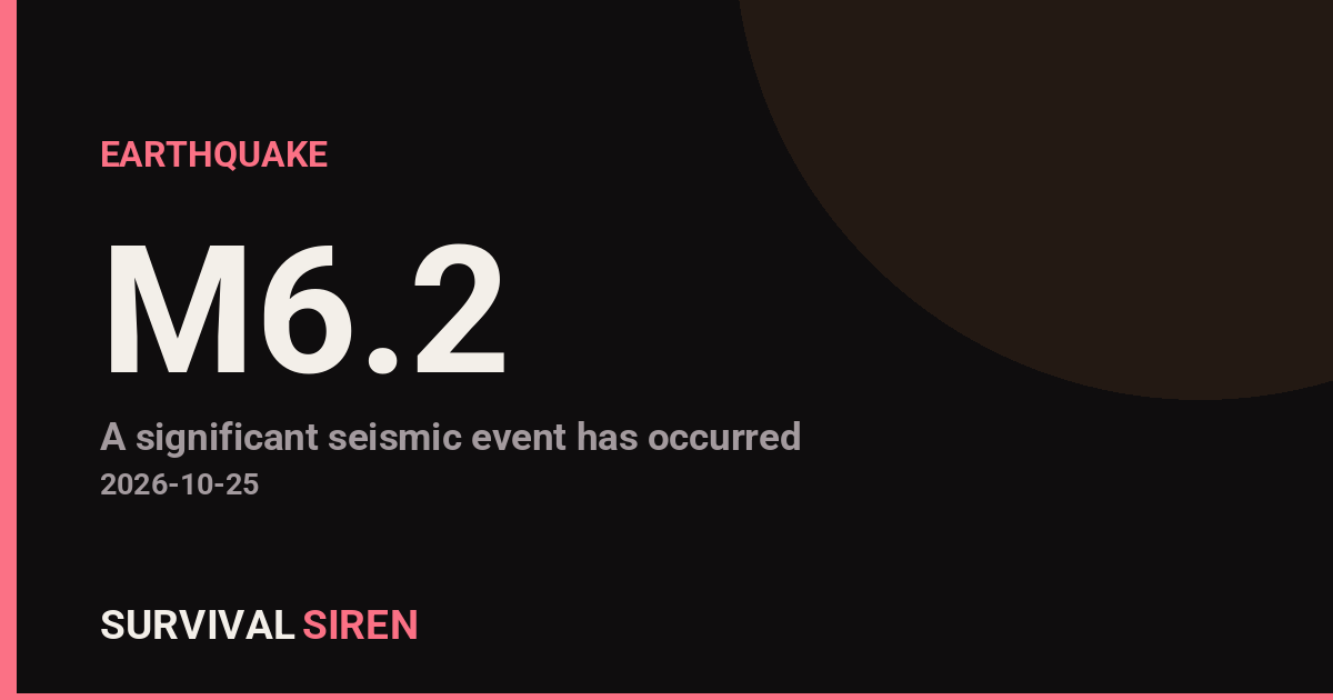
A magnitude 6.2 earthquake struck 21 kilometers east of Port-Olry, on the island of Espiritu Santo in Vanuatu, according to the USGS. The quake occurred at a depth of roughly 136 kilometers, which is considered a deep earthquake. Depth matters here: deep quakes tend to be felt over a wide area but usually cause less surface damage than a shallow quake of the same size.
Port-Olry is a small coastal community, and the nearest major population center is Port Vila, the capital, about 322 kilometers away with roughly 50,000 residents. People across Espiritu Santo and neighboring islands may have felt moderate shaking — a rolling or swaying sensation lasting several seconds, rattling windows, and possibly items shifting on shelves. Because of the depth, widespread severe damage is less likely, but older or lightly built structures closer to the epicenter could see cracking or other damage.
This is a seismically active region. Vanuatu sits on the Pacific ‘Ring of Fire,’ where tectonic plates meet and one plate is being pushed beneath another — that process is exactly why deep earthquakes like this one happen here. In fact, this is at least the 62nd earthquake of magnitude 5.0 or greater recorded within about 300 kilometers of this location in the past year.
What to keep in mind
Aftershocks are likely. Quakes of this size are typically followed by smaller aftershocks over the coming hours to days. Most will be weaker, but treat any damaged building with caution until it has been checked.
Tsunami risk is low but worth monitoring. Deep earthquakes rarely generate tsunamis, but coastal residents in Vanuatu should follow guidance from local authorities and move to higher ground if a warning is issued or if strong, long shaking is felt near the coast.
Check on essentials. If you are in the affected area, check water and power service, secure heavy items that shifted, and keep a battery-powered radio or charged phone handy for official updates.
This information is based on preliminary data reported by the United States Geological Survey (USGS), and details such as magnitude and depth may be revised as more data is reviewed.
Frequently Asked Questions
Was the earthquake felt in Port Vila?
Possibly as light shaking. Port Vila is about 322 km from the epicenter, but deep earthquakes like this one (136 km down) often radiate weak shaking over long distances.
Is a tsunami possible from this quake?
The risk is low because the earthquake occurred at a depth of 136 km — deep quakes rarely displace the seafloor enough to generate a tsunami. Coastal residents should still follow any official local guidance.
Are aftershocks expected?
Yes. Magnitude 6+ earthquakes are typically followed by aftershocks over hours to days, though most are smaller than the main quake. Avoid entering any visibly damaged buildings until they are inspected.
Is this unusual for Vanuatu?
No. Vanuatu sits on an active tectonic boundary, and this is at least the 62nd magnitude 5.0+ earthquake recorded within 300 km of this spot in the past year.
Keep tracking this:
Source: USGS
Related Reading
- Top 10 YouTube Videos on How to Prepare for an Earthquake
- Global Seismic Stress Report: Southern Ocean Activity Rises While Six Segments Go Quiet
- Earthquake Survival: Precautions, Kit & Early Warning in 2026
Reported Impact
1 person has reported feeling this quake to USGS’s “Did You Feel It?” system so far; the maximum reported shaking intensity is 4.3 on the Community Decimal Intensity scale.
Impact figures are from USGS as of when this alert was generated and can rise as more reports come in – this is not a final damage assessment.
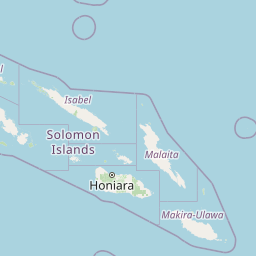

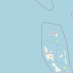

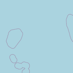
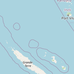
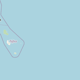
Map centered on the epicenter (-15.01, 167.27). Map data © OpenStreetMap contributors.
Sky & Solar Conditions at the Time
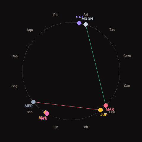
Moon: Full Moon (99% illuminated), in Aries.
Notable planetary angles: Sun conjunct Venus (2°), Mercury square Jupiter (87°), Moon trine Mars (117°).
Concurrent space weather: planetary Kp index 0.7; strongest recent solar flare: nothing notable.
This is a factual snapshot, not a claim of cause and effect – researchers are divided on whether lunar, planetary or solar factors influence seismic or weather activity. It’s included so readers can track the pattern for themselves over time.
Earthquakes Within ~400 km, Past 30 Days
For context, here is other recent seismic activity in the surrounding region (M2.5+, via USGS):
| Date & Time (UTC) | Magnitude | Location |
|---|---|---|
| 2026-10-24 23:44 UTC | M5.0 | 192 km NW of Port-Olry, Vanuatu |
| 2026-10-24 23:39 UTC | M4.8 | 203 km NW of Port-Olry, Vanuatu |
| 2026-10-24 22:47 UTC | M5.0 | 210 km NW of Port-Olry, Vanuatu |
| 2026-10-24 19:07 UTC | M5.0 | 193 km NW of Port-Olry, Vanuatu |
| 2026-10-24 16:54 UTC | M4.8 | 153 km NW of Port-Olry, Vanuatu |
| 2026-10-24 15:45 UTC | M4.7 | 238 km WNW of Port-Olry, Vanuatu |
| 2026-10-24 15:19 UTC | M4.9 | 217 km NW of Port-Olry, Vanuatu |
| 2026-10-24 15:07 UTC | M4.8 | 215 km NW of Port-Olry, Vanuatu |
| 2026-10-24 13:53 UTC | M4.8 | 216 km NW of Port-Olry, Vanuatu |
| 2026-10-24 11:14 UTC | M4.9 | 196 km W of Sola, Vanuatu |
| 2026-10-24 09:38 UTC | M4.9 | 169 km NW of Port-Olry, Vanuatu |
| 2026-10-24 09:07 UTC | M5.0 | 219 km WNW of Port-Olry, Vanuatu |
| 2026-10-24 08:56 UTC | M5.9 | 196 km NW of Port-Olry, Vanuatu |
| 2026-10-24 08:45 UTC | M4.7 | 187 km NW of Port-Olry, Vanuatu |
| 2026-10-24 08:28 UTC | M5.1 | 209 km NW of Port-Olry, Vanuatu |
| 2026-10-24 08:22 UTC | M5.1 | 218 km NW of Port-Olry, Vanuatu |
| 2026-10-24 08:20 UTC | M4.7 | 222 km NW of Port-Olry, Vanuatu |
| 2026-10-24 06:58 UTC | M4.7 | 195 km NW of Port-Olry, Vanuatu |
| 2026-10-24 06:52 UTC | M5.0 | 219 km NW of Port-Olry, Vanuatu |
| 2026-10-24 06:43 UTC | M5.5 | 55 km NNE of Port-Olry, Vanuatu |
Emergency number for Vanuatu: 112 (General guidance – always verify locally, as this can vary by region.)