
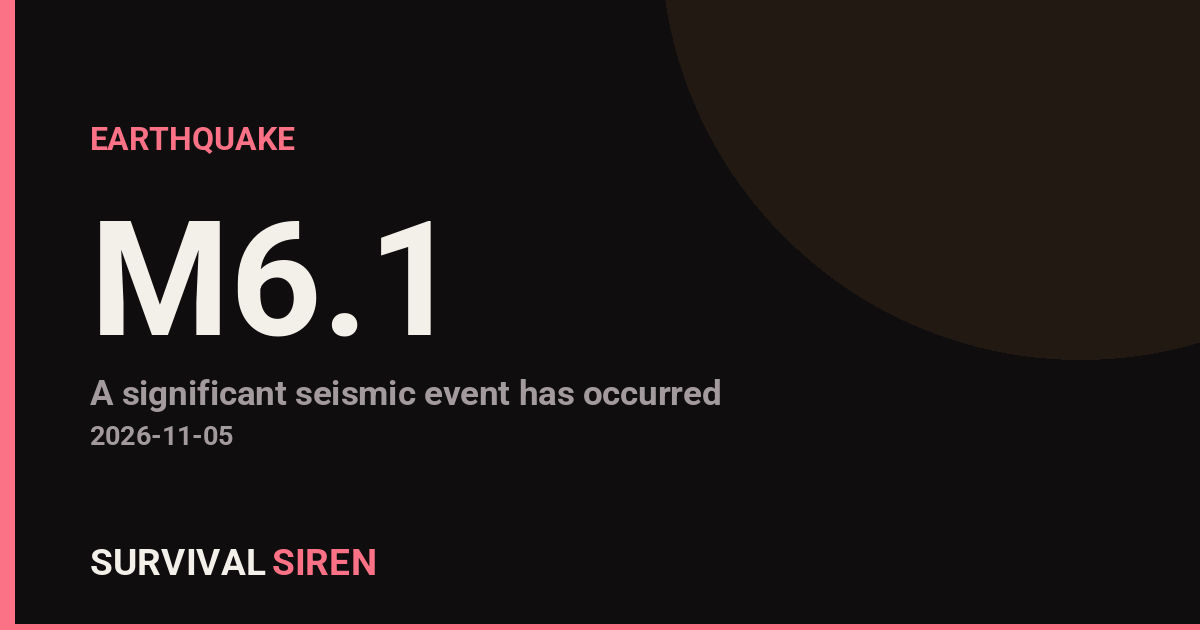
A magnitude 6.1 earthquake struck the Fiji region, according to the USGS. While that sounds significant, there is an important piece of context: this quake occurred at a depth of roughly 541 kilometers (about 336 miles) — one of the deepest classes of earthquakes. Energy from quakes this deep spreads out over a very large area before reaching the surface, which sharply reduces shaking intensity at ground level.
Because of the depth, shaking at the surface was likely light and widely dispersed rather than strong and localized. Some residents in Fiji and nearby island nations may have felt a gentle, rolling tremor, but significant damage is not expected. The nearest major population center is Nuku’alofa, Tonga, roughly 357 kilometers away (population ~25,000), where any shaking would have been mild.
No tsunami threat is anticipated from this event. Tsunamis are generated when shallow earthquakes suddenly displace the seafloor; a quake more than 500 kilometers underground does not have that effect.
The Fiji-Tonga region is one of the most seismically active deep-quake zones on Earth, where the Pacific tectonic plate dives beneath the Australian plate. This is at least the 22nd magnitude 5.0 or greater earthquake recorded within about 300 kilometers of this location in the past year, which is normal for this subduction zone.
What to keep in mind
Aftershocks: Deep earthquakes typically produce fewer and weaker aftershocks than shallow ones, and any that occur are unlikely to be felt strongly at the surface.
Reports from other islands: Light tremors may be reported across Fiji, Tonga, and possibly Samoa in the coming hours. Mild shaking at this distance is not cause for alarm.
General readiness: This region is seismically busy year-round, so households in Fiji and Tonga should always have a basic kit — water, flashlights, a battery radio, and a family meeting plan — and know their local tsunami evacuation routes as a routine precaution.
This alert is based on preliminary data reported by the USGS.
Frequently Asked Questions
Was this earthquake felt in Fiji or Tonga?
Possibly, but only as light, rolling tremors. At a depth of 541 km, the energy reaching the surface is greatly weakened, and the nearest city, Nuku'alofa in Tonga, is about 357 km away.
Is a tsunami possible from this earthquake?
No. Tsunamis are caused by shallow earthquakes that displace the seafloor. At more than 500 km deep, this quake poses no tsunami threat.
Will there be aftershocks?
Some deep aftershocks are possible, but they are typically smaller and are very unlikely to cause noticeable or damaging shaking at the surface.
Is this earthquake unusual for the region?
Not at all. This is at least the 22nd magnitude 5.0+ quake within about 300 km of this spot in the past year — the Fiji-Tonga subduction zone is one of the most active deep-earthquake regions in the world.
Keep tracking this:
Source: USGS
Related Reading
- Bug Out Bags: What the Best-Selling 72-Hour Kits on Amazon Actually Deliver
- Top 10 YouTube Videos on How to Prepare for an Earthquake
- Global Seismic Stress Report: Southern Ocean Activity Rises While Six Segments Go Quiet
Reported Impact
USGS’s automated PAGER system currently estimates a Green alert level (minimal expected casualties or damage).
Impact figures are from USGS as of when this alert was generated and can rise as more reports come in – this is not a final damage assessment.
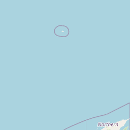
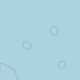
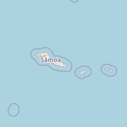
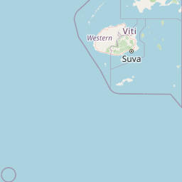
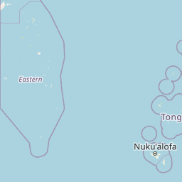
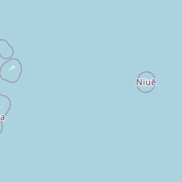



Map centered on the epicenter (-21.17, -178.65). Map data © OpenStreetMap contributors.
Sky & Solar Conditions at the Time
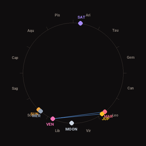
Moon: Waning Crescent (13% illuminated), in Libra.
Notable planetary angles: Venus sextile Jupiter (59°), Sun conjunct Mercury (3°), Venus sextile Mars (63°), Mars conjunct Jupiter (4°).
Concurrent space weather: planetary Kp index 0.7; strongest recent solar flare: nothing notable.
This is a factual snapshot, not a claim of cause and effect – researchers are divided on whether lunar, planetary or solar factors influence seismic or weather activity. It’s included so readers can track the pattern for themselves over time.
Earthquakes Within ~400 km, Past 30 Days
For context, here is other recent seismic activity in the surrounding region (M2.5+, via USGS):
| Date & Time (UTC) | Magnitude | Location |
|---|---|---|
| 2026-11-04 00:32 UTC | M4.6 | Fiji region |
| 2026-11-02 05:10 UTC | M4.1 | 106 km E of Levuka, Fiji |
| 2026-11-02 04:28 UTC | M4.3 | 240 km E of Levuka, Fiji |
| 2026-11-02 02:46 UTC | M4.1 | south of the Fiji Islands |
| 2026-10-31 10:42 UTC | M4.4 | Fiji region |
| 2026-10-30 16:48 UTC | M4.4 | 284 km E of Levuka, Fiji |
| 2026-10-30 10:57 UTC | M4.4 | south of the Fiji Islands |
| 2026-10-30 05:10 UTC | M4.8 | Fiji region |
| 2026-10-29 04:09 UTC | M4.3 | 236 km E of Levuka, Fiji |
| 2026-10-28 12:58 UTC | M4.6 | south of the Fiji Islands |
| 2026-10-27 15:31 UTC | M4.8 | south of the Fiji Islands |
| 2026-10-26 10:30 UTC | M4.3 | 287 km E of Levuka, Fiji |
| 2026-10-26 10:13 UTC | M5.5 | 283 km E of Levuka, Fiji |
| 2026-10-23 12:19 UTC | M4.5 | 193 km ENE of Levuka, Fiji |
| 2026-10-23 06:07 UTC | M4.3 | 289 km W of Houma, Tonga |
| 2026-10-22 16:51 UTC | M4.7 | 165 km SSW of ‘Ohonua, Tonga |
| 2026-10-22 04:16 UTC | M4.2 | Fiji region |
| 2026-10-21 14:24 UTC | M4.0 | Fiji region |
| 2026-10-21 14:10 UTC | M4.4 | 164 km W of Pangai, Tonga |
| 2026-10-20 16:29 UTC | M4.8 | south of the Fiji Islands |
Emergency number for Fiji: 911 (General guidance – always verify locally, as this can vary by region.)