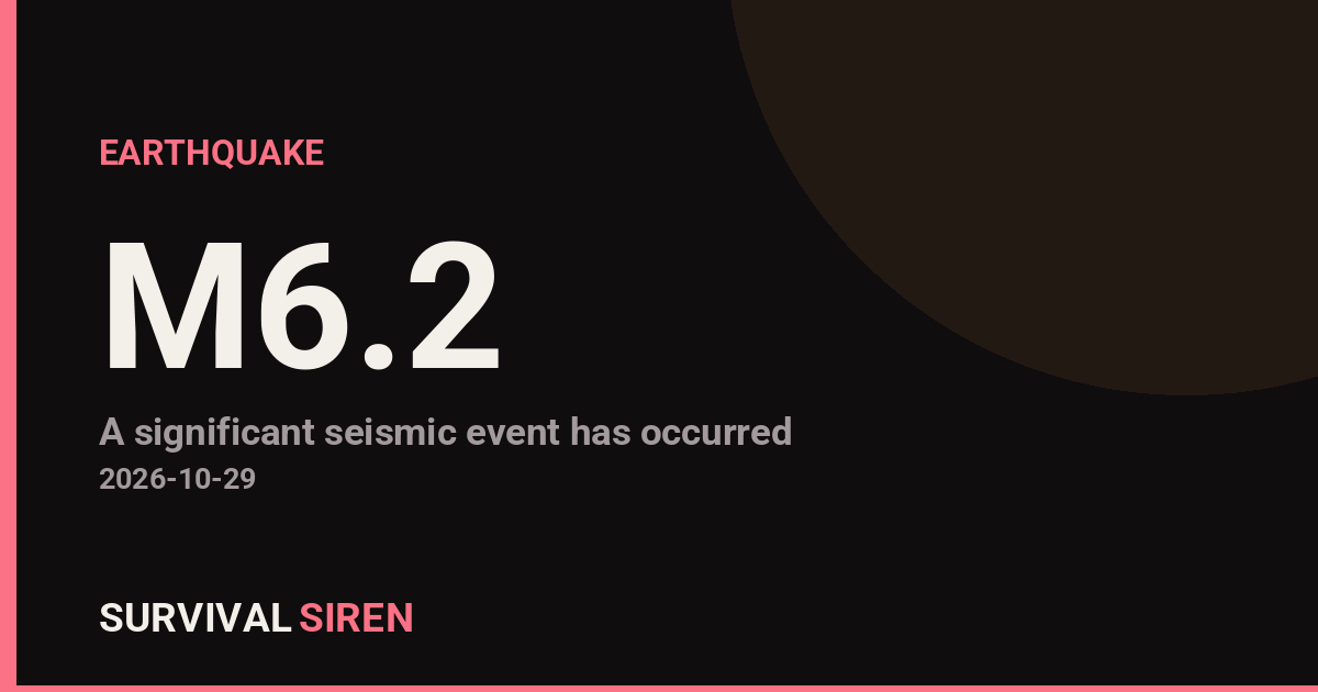
A magnitude 6.2 earthquake struck 43 kilometers east-southeast of Port-Olry, Vanuatu, according to the U.S. Geological Survey. The quake occurred at a depth of roughly 143 kilometers, which classifies it as a deep earthquake.
Depth matters here. Because this quake originated more than 100 kilometers underground, its energy spread out considerably before reaching the surface. That generally means shaking is felt across a wide area but is less intense and less damaging than a shallow quake of the same magnitude would be. People in Port-Olry and across northern Vanuatu, particularly on Espiritu Santo, likely felt noticeable shaking, and lighter shaking may have been felt as far away as the capital, Port Vila, roughly 297 kilometers to the south. Significant damage is possible in vulnerable structures close to the epicenter, but widespread destruction is not expected from a quake at this depth.
Vanuatu sits on the Pacific ‘Ring of Fire,’ where tectonic plates collide, and this region is one of the most seismically active on Earth. This is at least the 76th earthquake of magnitude 5.0 or greater recorded within about 300 kilometers of this location in the past year.
What to Watch
If you are in the affected area, keep these points in mind:
Aftershocks are likely. A magnitude 6.2 event is typically followed by smaller earthquakes over the coming days and weeks. Check your home for cracks, especially in masonry walls, and move heavy items off high shelves.
Tsunami risk is low. Deep earthquakes like this one rarely displace the seafloor enough to generate a tsunami. Still, if you are on the coast and feel strong or long-lasting shaking, moving to higher ground is a sensible default precaution.
Stay alert to local updates. Vanuatu’s disaster management authorities will issue any official assessments or instructions. Follow their guidance over unofficial social media reports.
Data for this alert comes from the U.S. Geological Survey (USGS), which monitors global earthquake activity in near real time.
Frequently Asked Questions
Was this earthquake felt in Port Vila?
Possibly as light shaking. Port Vila is about 297 km from the epicenter, so shaking there would have been mild at most. The strongest shaking was in the Port-Olry area on Espiritu Santo.
Is a tsunami possible from this quake?
It is very unlikely. At a depth of 143 km, the quake occurred far below the seafloor, and deep earthquakes rarely displace enough water to generate a tsunami. No tsunami is expected from this event.
Are aftershocks likely?
Yes. Earthquakes of this size are typically followed by aftershocks over days to weeks, though they are usually smaller than the main shock. Deep-focus aftershocks also tend to cause less surface shaking.
Is it normal for Vanuatu to have earthquakes this often?
Yes. Vanuatu sits on the tectonically active Ring of Fire, and this was at least the 76th magnitude 5.0+ quake within about 300 km of this spot in the past year. Strong earthquakes are a routine feature of the region.
Keep tracking this:
Source: USGS
Related Reading
- Bug Out Bags: What the Best-Selling 72-Hour Kits on Amazon Actually Deliver
- Top 10 YouTube Videos on How to Prepare for an Earthquake
- Global Seismic Stress Report: Southern Ocean Activity Rises While Six Segments Go Quiet
Reported Impact
1 person has reported feeling this quake to USGS’s “Did You Feel It?” system so far; the maximum reported shaking intensity is 3.4 on the Community Decimal Intensity scale; USGS’s automated PAGER system currently estimates a Green alert level (minimal expected casualties or damage).
Impact figures are from USGS as of when this alert was generated and can rise as more reports come in – this is not a final damage assessment.
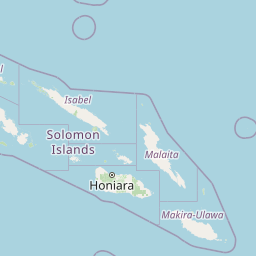

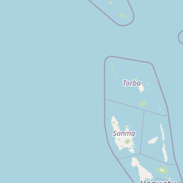

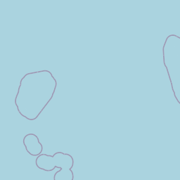
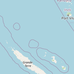
Map centered on the epicenter (-15.19, 167.45). Map data © OpenStreetMap contributors.
Sky & Solar Conditions at the Time
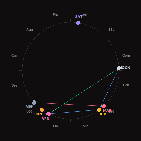
Moon: Waning Gibbous (81% illuminated), in Gemini.
Notable planetary angles: Moon trine Venus (120°), Mercury square Mars (91°), Venus sextile Jupiter (63°), Moon sextile Jupiter (56°).
Concurrent space weather: planetary Kp index 0.3; strongest recent solar flare: nothing notable.
This is a factual snapshot, not a claim of cause and effect – researchers are divided on whether lunar, planetary or solar factors influence seismic or weather activity. It’s included so readers can track the pattern for themselves over time.
Earthquakes Within ~400 km, Past 30 Days
For context, here is other recent seismic activity in the surrounding region (M2.5+, via USGS):
| Date & Time (UTC) | Magnitude | Location |
|---|---|---|
| 2026-10-28 04:31 UTC | M5.0 | 200 km W of Sola, Vanuatu |
| 2026-10-28 02:59 UTC | M5.6 | 174 km NW of Port-Olry, Vanuatu |
| 2026-10-28 02:21 UTC | M6.0 | 214 km NW of Port-Olry, Vanuatu |
| 2026-10-28 02:17 UTC | M5.2 | 220 km NW of Port-Olry, Vanuatu |
| 2026-10-28 02:13 UTC | M4.8 | 217 km NW of Port-Olry, Vanuatu |
| 2026-10-28 01:39 UTC | M5.5 | 221 km NW of Port-Olry, Vanuatu |
| 2026-10-27 10:50 UTC | M5.2 | 191 km NW of Port-Olry, Vanuatu |
| 2026-10-27 10:06 UTC | M5.0 | 184 km NW of Port-Olry, Vanuatu |
| 2026-10-27 09:20 UTC | M5.0 | 206 km NW of Port-Olry, Vanuatu |
| 2026-10-27 08:55 UTC | M5.8 | 196 km NW of Port-Olry, Vanuatu |
| 2026-10-26 15:08 UTC | M4.6 | 154 km NW of Port-Olry, Vanuatu |
| 2026-10-26 12:13 UTC | M5.2 | 205 km NW of Port-Olry, Vanuatu |
| 2026-10-26 11:17 UTC | M5.0 | 218 km NW of Port-Olry, Vanuatu |
| 2026-10-26 04:53 UTC | M4.8 | 182 km NW of Port-Olry, Vanuatu |
| 2026-10-26 01:44 UTC | M4.7 | 207 km NW of Port-Olry, Vanuatu |
| 2026-10-26 01:22 UTC | M4.9 | 205 km NW of Port-Olry, Vanuatu |
| 2026-10-25 20:30 UTC | M4.8 | 167 km WNW of Port-Olry, Vanuatu |
| 2026-10-25 16:25 UTC | M4.6 | 222 km NW of Port-Olry, Vanuatu |
| 2026-10-25 08:41 UTC | M5.4 | 205 km NW of Port-Olry, Vanuatu |
| 2026-10-25 02:24 UTC | M6.1 | 25 km ENE of Port-Olry, Vanuatu |
Emergency number for Vanuatu: 112 (General guidance – always verify locally, as this can vary by region.)