A tropical cyclone designated TWO-26 is active in the North Indian Ocean and is affecting coastal areas of India, according to an Orange-level alert issued on 26 October 2026. The storm is producing maximum sustained winds of around 120 km/h (about 75 mph) – equivalent to a Category 1 hurricane on the familiar five-level scale. That is strong enough to damage roofs and trees, knock down power lines, and make coastal travel dangerous.
Modeling estimates suggest roughly 356,000 people live in areas expected to experience Category 1-strength winds or higher, and India’s overall vulnerability to this type of event is rated High due to dense coastal populations. The Orange classification comes from GDACS, the Global Disaster Alert and Coordination System run by the EU Joint Research Centre, and signals a storm with the potential for moderate humanitarian impact.
What residents and travelers may notice
People in affected coastal districts can expect periods of very heavy rain, strong gusty winds, rough seas, and possible storm surge – a temporary rise in sea level that can flood low-lying shoreline areas. Power outages, downed trees, flooded roads, and disruptions to trains, flights, and ferry services are all realistic. Fishermen and small craft have likely been advised to remain ashore.
Sensible steps right now:
1. If you are in an affected district, follow instructions from local disaster management authorities and be ready to move to a designated cyclone shelter if told to do so.
2. Charge phones and power banks, keep flashlights and drinking water handy, and secure loose outdoor items before winds peak.
3. Avoid coastal roads, beaches, and flooded underpasses; even shallow moving water can sweep away a person or vehicle.
The situation is being monitored continuously, and the alert level may be raised or lowered as the storm’s track and strength evolve. Data for this alert comes from GDACS (the EU Joint Research Centre’s Global Disaster Alert and Coordination System), drawing on international tropical cyclone forecasting centers.
Frequently Asked Questions
How strong is Tropical Storm TWO-26 right now?
Maximum sustained winds are about 120 km/h (75 mph), equivalent to a Category 1 hurricane. That's enough to damage weak structures, uproot trees, and bring down power lines.
Who is affected by this cyclone?
Coastal India is in the storm's path, with an estimated 356,000 people living in areas expected to see Category 1-strength winds. Exact districts at risk depend on the final landfall track, so follow your state disaster management advisories.
What does the Orange alert level mean?
GDACS uses Green, Orange, and Red to rate a disaster's potential humanitarian impact. Orange means a significant event with moderate impact potential – serious for those in the path, but not automatically catastrophic.
What should I do right now if I'm in the affected area?
Stay indoors away from windows once winds pick up, keep a phone charged, and be ready to relocate to a cyclone shelter if local authorities advise it. Do not go to the beach or try to cross flooded roads.
Keep tracking this:
Source: GDACS (EU Joint Research Centre)
Related Reading

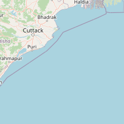
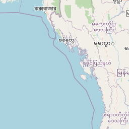


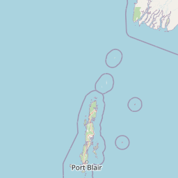


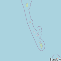
Map centered on the epicenter (16.00, 89.10). Map data © OpenStreetMap contributors.
Sky & Solar Conditions at the Time
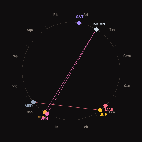
Moon: Full Moon (100% illuminated), in Taurus.
Notable planetary angles: Sun opposite Moon (179°), Moon opposite Venus (178°), Mercury square Jupiter (87°), Sun conjunct Venus (3°).
Concurrent space weather: planetary Kp index 1.0; strongest recent solar flare: nothing notable.
This is a factual snapshot, not a claim of cause and effect – researchers are divided on whether lunar, planetary or solar factors influence seismic or weather activity. It’s included so readers can track the pattern for themselves over time.