A red-level tropical cyclone alert is in effect for Tropical Cyclone SIMON-26, a powerful storm tracked in the Eastern Pacific basin. Between October 7 and October 9, 2026, SIMON-26 reached major hurricane strength with maximum sustained winds of 231 km/h (about 144 mph) — well above the 119 km/h threshold for hurricane classification. That wind speed places it in Category 4 territory on the Saffir-Simpson scale.
The Global Disaster Alert and Coordination System (GDACS) estimates that roughly 476,000 people could experience winds of at least Category 1 strength (120 km/h) as the storm moves through its projected path. Affected countries have not yet been confirmed in the alert data, which is common for Eastern Pacific storms still over open water or with uncertain landfall zones.
What readers might notice: If you live along the Pacific coast of Mexico or Central America — the typical zone for storms forming in this region — expect deteriorating conditions as the storm approaches, including high surf, dangerous rip currents, heavy rain bands, and strengthening winds. Coastal flooding and flash flooding in low-lying and mountainous areas are the most common hazards with storms of this size, even before any official landfall.
What to do now
1. Check your local forecast. If you are in a coastal Eastern Pacific region, monitor your national weather service and civil protection agency for watches, warnings, and any evacuation instructions.
2. Prepare for flooding, not just wind. Clear drains, avoid river crossings and flooded roads, and move valuables off ground floors if you are in a low-lying area. Most tropical cyclone deaths are caused by water, not wind.
3. Have a 72-hour kit ready. Water, medications, flashlights, charged power banks, and important documents in a waterproof bag — ready to grab if an evacuation order comes.
Storms of this intensity can change course and strength quickly, so conditions will be updated as new data arrives. This alert is based on data from GDACS (the EU Joint Research Centre’s Global Disaster Alert and Coordination System) and NOAA tropical cyclone tracking.
Frequently Asked Questions
How strong is SIMON-26 right now?
Peak sustained winds reached 231 km/h (about 144 mph), which is equivalent to a Category 4 hurricane. Intensity can fluctuate, so check the latest advisory for current strength.
Is the storm going to make landfall near me?
The alert data does not yet confirm which countries will be directly affected. Eastern Pacific hurricanes most often threaten coastal Mexico and Central America, so residents there should follow their national meteorological service for track updates.
What is the biggest danger from this storm?
Heavy rain and flooding — including flash floods and mudslides in hilly terrain — typically cause more harm than the wind itself. Dangerous surf and rip currents can begin well before the storm's center arrives.
What does a 'red alert' from GDACS mean?
It means the storm is severe and has significant potential for humanitarian impact based on its strength and the population in its path. It is a signal to prepare and stay informed, not a reason to panic.
Keep tracking this:
Source: GDACS (EU Joint Research Centre)
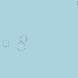
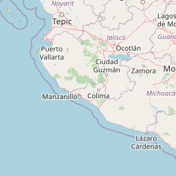
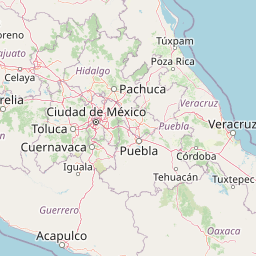





Map centered on the epicenter (15.80, -104.50). Map data © OpenStreetMap contributors.
Sky & Solar Conditions at the Time
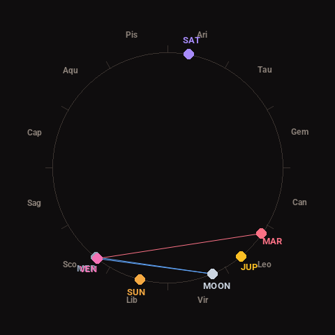
Moon: Waning Crescent (10% illuminated), in Virgo.
Notable planetary angles: Moon sextile Venus (61°), Mercury conjunct Venus (1°), Moon sextile Mercury (61°), Venus square Mars (93°).
Concurrent space weather: planetary Kp index 2.0; strongest recent solar flare: nothing notable.
This is a factual snapshot, not a claim of cause and effect – researchers are divided on whether lunar, planetary or solar factors influence seismic or weather activity. It’s included so readers can track the pattern for themselves over time.