A tropical cyclone named Trudy-26 was active in the Atlantic basin from October 13-14, 2026, prompting a Red alert — the highest severity level — from the Global Disaster Alert and Coordination System (GDACS). The storm packed maximum sustained winds of 213 km/h (about 132 mph), well above the 120 km/h threshold for hurricane-force winds, and its track brought impacts to Mexico.
Roughly 823,000 people in Mexico are estimated to be within areas experiencing winds of 120 km/h (category 1 hurricane strength) or higher. Mexico’s vulnerability for this event is rated as Medium, reflecting a mix of coastal exposure and existing infrastructure capacity.
What people in affected areas might notice
Residents along and near the storm’s path can expect damaging winds capable of downing trees and power lines, roof damage to weaker structures, and dangerous flying debris. Heavy rainfall accompanying the cyclone raises the risk of flash flooding and mudslides, especially in mountainous terrain and areas with poor drainage. Coastal communities may also see storm surge — seawater pushed ashore by the storm — along with large, dangerous waves. Power outages, blocked roads, and disruptions to flights and ferry services are likely in the hardest-hit zones.
Preparedness pointers:
1. If you are in the affected region, follow instructions from Mexican civil protection authorities (Protección Civil) and be ready to move to higher ground or a designated shelter if told to evacuate. Avoid coastal areas and never attempt to drive through flooded roads.
2. Secure or bring inside loose outdoor items, charge phones and power banks, and keep a kit with water, non-perishable food, medications, flashlights, and batteries for at least 72 hours.
3. After the storm passes, stay clear of downed power lines, treat tap water with caution until officials confirm it is safe, and check on neighbors — particularly elderly people and those with limited mobility.
Travelers with plans in the region should check with airlines and hotels, as cancellations and delays are expected while the storm moves through.
Data for this alert comes from GDACS, the EU Joint Research Centre’s Global Disaster Alert and Coordination System, which draws on national and international meteorological sources.
Frequently Asked Questions
How strong is Tropical Storm Trudy?
Trudy-26 reached maximum sustained winds of 213 km/h (about 132 mph), which is well into major hurricane strength on the standard wind scale, even though it is labeled a tropical storm in this bulletin. Winds of that speed can cause significant structural damage and widespread power outages.
How many people are in the storm's path?
GDACS estimates about 823,000 people in Mexico are exposed to winds of 120 km/h or higher. Mexico's overall vulnerability for this event is rated Medium.
Is flooding a risk even if I'm not on the coast?
Yes. Tropical cyclones bring intense rainfall that can trigger flash flooding and mudslides inland, particularly in hilly or mountainous areas. Move away from rivers, streams, and steep slopes if heavy rain begins.
What does a 'Red alert' from GDACS mean?
Red is GDACS's highest alert level, meaning the event has the potential for severe humanitarian impact based on wind strength, exposed population, and local vulnerability. It signals that authorities and residents should take the storm seriously and act on official guidance.
Keep tracking this:
Source: GDACS (EU Joint Research Centre)
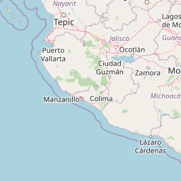
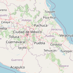
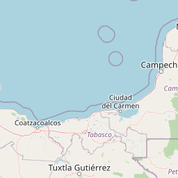

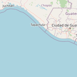



Map centered on the epicenter (11.20, -97.00). Map data © OpenStreetMap contributors.
Sky & Solar Conditions at the Time
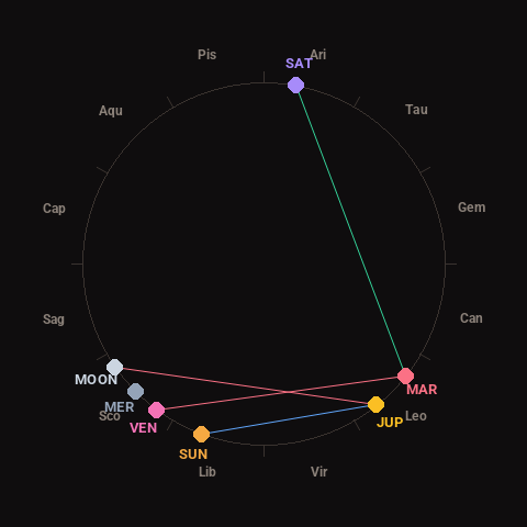
Moon: Waxing Crescent (9% illuminated), in Scorpio.
Notable planetary angles: Sun sextile Jupiter (59°), Mars trine Saturn (118°), Venus square Mars (88°), Moon square Jupiter (94°).
Concurrent space weather: planetary Kp index 2.3; strongest recent solar flare: nothing notable.
This is a factual snapshot, not a claim of cause and effect – researchers are divided on whether lunar, planetary or solar factors influence seismic or weather activity. It’s included so readers can track the pattern for themselves over time.