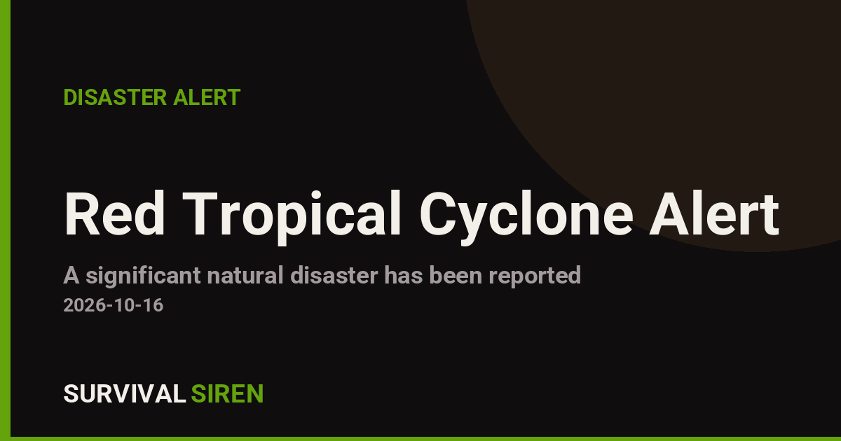
A powerful tropical cyclone named Champi (designation CHAMPI-26) is active in the northwest Pacific and is affecting Guam between October 14 and October 16, 2026. The storm’s maximum sustained winds have reached approximately 250 km/h (about 155 mph), well above the 74 mph threshold that defines a hurricane or typhoon. The Global Disaster Alert and Coordination System (GDACS), run by the EU Joint Research Centre, has issued its highest-level classification, a Red alert, for this event.
GDACS estimates that roughly 175,000 people on Guam could experience winds of at least 120 km/h (Category 1 strength on the Saffir-Simpson scale). Guam’s overall vulnerability to this storm is rated Medium, reflecting the island’s experience with typhoons but also its limited size and resources. At 250 km/h, Champi would qualify as a super typhoon by regional standards, capable of causing significant structural damage, downing trees and power lines, and producing dangerous storm surge along coastlines.
Residents on Guam should expect damaging winds, torrential rain, flooding in low-lying areas, rough seas, and likely power and water outages. Flights to and from Antonio B. Won Pat International Airport are likely to be delayed or canceled while the storm passes, and sea conditions around the Mariana Islands will be hazardous.
What to watch and how to prepare
First, secure your home now: bring in or tie down outdoor items, board or tape windows if shutters aren’t available, and know which interior room is your safest shelter. Second, stock at least three days of water (one gallon per person per day), non-perishable food, flashlights, batteries, and any needed medications, since outages after major typhoons on Guam can last days to weeks. Third, monitor official bulletins from the National Weather Service office in Tiyan, Guam, and follow any evacuation orders for coastal or flood-prone areas without delay.
Once the storm passes, treat downed power lines as live, avoid floodwater, and boil water if advisories are issued. Conditions should gradually improve after October 16 as Champi moves away from the island. Data for this alert comes from GDACS and the Joint Typhoon Warning Center, with local forecasts from NOAA’s National Weather Service.
Frequently Asked Questions
How strong is Typhoon Champi right now?
Maximum sustained winds are estimated at about 250 km/h (155 mph), which is super-typhoon strength and far above the 74 mph typhoon threshold. GDACS has classified it as a Red alert, its most severe level.
Is Guam directly in the storm's path?
Yes, Guam is the affected territory in this alert, with an estimated 175,000 people expected to experience winds of at least 120 km/h. The island's vulnerability is rated Medium, but a storm of this strength warrants full preparation.
When will the worst of the storm hit and how long will it last?
The active alert window runs from October 14 to October 16, 2026, so the most dangerous conditions are expected within that period. Weather should gradually improve after the 16th as the cyclone moves away, though cleanup and outages can last much longer.
What should I do right now if I'm on Guam?
Secure outdoor objects, reinforce windows, fill containers with water, charge devices, and gather three days of food, water, and medications. Follow National Weather Service Guam bulletins and any evacuation orders from local officials, especially if you live near the coast or in a flood-prone area.
Keep tracking this:
Source: GDACS (EU Joint Research Centre)
Related Reading



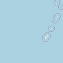


Map centered on the epicenter (11.90, 150.20). Map data © OpenStreetMap contributors.
Sky & Solar Conditions at the Time
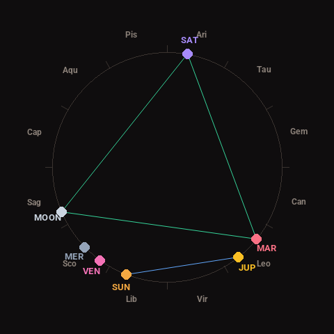
Moon: Waxing Crescent (15% illuminated), in Sagittarius.
Notable planetary angles: Sun sextile Jupiter (59°), Mars trine Saturn (119°), Moon trine Mars (118°), Moon trine Saturn (123°).
Concurrent space weather: planetary Kp index 3.3; strongest recent solar flare: M1.4-class.
This is a factual snapshot, not a claim of cause and effect – researchers are divided on whether lunar, planetary or solar factors influence seismic or weather activity. It’s included so readers can track the pattern for themselves over time.