A tropical storm designated ONE-26 has been active in the South Pacific, prompting an Orange alert from the Global Disaster Alert and Coordination System (GDACS), the European Union’s disaster monitoring body. The storm reached maximum sustained winds of 120 km/h – equivalent to a Category 1 tropical cyclone on the standard scale – and affected the Cook Islands on 16 October 2026.
An estimated 3,815 people are in the path of Category 1-strength winds or higher. The Cook Islands are rated at Medium vulnerability, meaning the islands have some capacity to cope but damaging winds, heavy rain, and rough seas can still cause real harm – especially to lighter buildings, boats, and coastal areas.
What residents and travelers might notice
People in the affected islands can expect strong, damaging gusts, heavy downpours, localized flooding in low-lying areas, and very rough coastal conditions. Power cuts and disruptions to water or communications are possible, and inter-island boat and flight services are likely to be suspended or delayed until conditions improve. Fallen branches, roofing damage, and debris on roads are typical at this wind strength.
Sensible steps right now
First, stay indoors away from windows during the strongest winds and follow instructions from Cook Islands emergency authorities. Second, secure or bring inside anything that can blow away – outdoor furniture, loose roofing items, and small boats should be tied down or moved. Third, keep a battery-powered radio, charged phones, drinking water, and a basic kit ready in case power or supply routes are interrupted for a day or two.
Travelers with flights or boat transfers to, from, or between the Cook Islands should check with their airline or operator before heading to the airport or harbor, as schedules can change quickly around a passing cyclone.
This alert is based on data from GDACS, the EU Joint Research Centre’s Global Disaster Alert and Coordination System, which tracks tropical cyclones using international meteorological sources.
Frequently Asked Questions
How strong is this storm?
ONE-26 reached maximum sustained winds of 120 km/h, which is Category 1 tropical cyclone strength – enough to damage roofs, knock down trees and power lines, and create dangerous seas, but weaker than a major cyclone.
Which areas are affected?
The Cook Islands in the South Pacific are in the storm's path, with an estimated 3,815 people exposed to Category 1-strength winds or higher.
What should I do if I'm in the Cook Islands right now?
Stay indoors away from windows during the worst of the winds, secure loose outdoor items, and follow guidance from local emergency authorities. Avoid coastal areas and do not attempt boat travel until conditions improve.
Will flights and ferries be disrupted?
Yes, disruptions are likely – inter-island boats and flights are commonly suspended during a passing cyclone. Check directly with your airline or ferry operator for the latest schedule before traveling.
Keep tracking this:
Source: GDACS (EU Joint Research Centre)
Related Reading
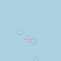


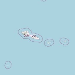


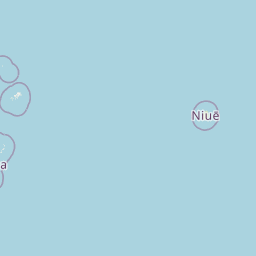

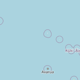
Map centered on the epicenter (-12.70, -163.40). Map data © OpenStreetMap contributors.
Sky & Solar Conditions at the Time
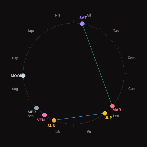
Moon: Waxing Crescent (29% illuminated), in Sagittarius.
Notable planetary angles: Mars trine Saturn (120°), Sun sextile Jupiter (61°).
Concurrent space weather: planetary Kp index 3.3; strongest recent solar flare: M1.4-class.
This is a factual snapshot, not a claim of cause and effect – researchers are divided on whether lunar, planetary or solar factors influence seismic or weather activity. It’s included so readers can track the pattern for themselves over time.