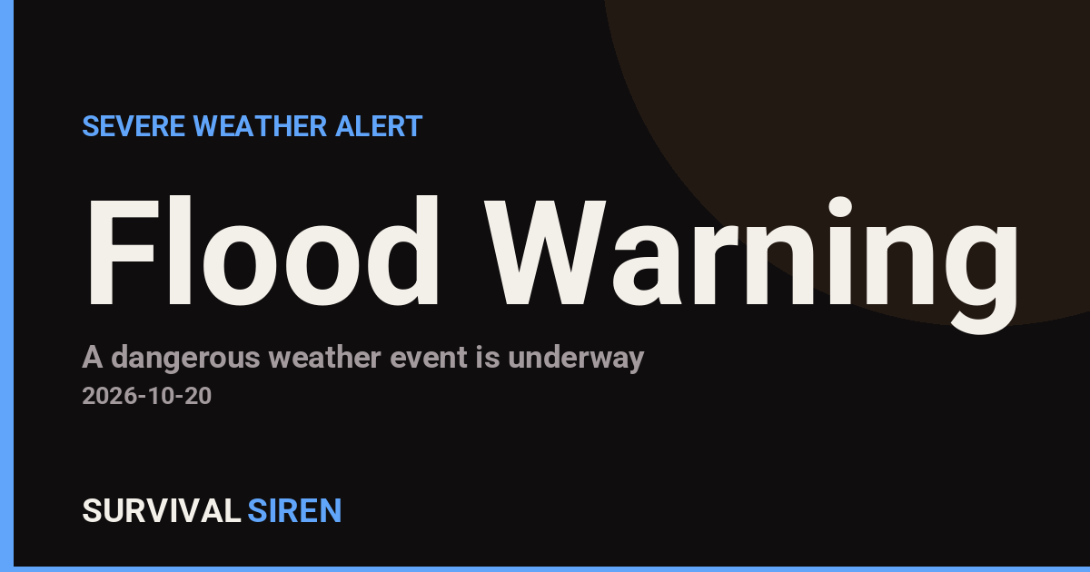
The National Weather Service office in Jacksonville, Florida, has issued a Flood Warning covering three areas: Brantley County in southeast Georgia, and Lake and Volusia counties in northeast and central Florida. The warning was issued on October 19 at 9:46 PM EDT.
A Flood Warning means flooding is already occurring or is imminent in the warned areas — this is more urgent than a Flood Watch, which only means conditions are favorable. Readers in these counties may notice water rising over roads, in low-lying neighborhoods, near creeks and rivers, and in poor-drainage areas. In Volusia County, that can include areas near the St. Johns River and local canals; in Lake County, low spots around the chain-of-lakes region; and in Brantley County, rural roads and areas near the Satilla River basin.
What to keep in mind
If you are in one of the warned counties, a few practical steps apply tonight. First, never drive through water covering a road — just 6 inches of moving water can knock a person down, and 12 inches can carry away most cars. Turn around and find another route. Second, if you live in a low-lying or flood-prone spot, move vehicles to higher ground and keep important items, medications, and chargers off the floor in case water enters the home. Third, expect slower travel overnight and into the morning commute, and check local county emergency management updates for any road closures.
Flood warnings like this typically remain in effect until water levels recede, which can take several hours to a few days depending on how much rain has fallen and how quickly rivers and drainage systems drain. Stay tuned to local weather radio or alerts for any updates or extensions.
This alert is based on official warning data from the National Weather Service (NWS) Jacksonville, FL office, part of NOAA.
Frequently Asked Questions
What areas are under this Flood Warning?
The warning covers Brantley County in Georgia and Lake and Volusia counties in Florida. It was issued by the NWS Jacksonville office on October 19 at 9:46 PM EDT.
What should I do right now if I'm in one of these counties?
Avoid driving through any flooded roads — turn around and find another route. If you're in a flood-prone spot, move your car to higher ground and keep valuables off the floor overnight.
Is this the same as a Flash Flood Warning?
No — a Flood Warning typically covers slower-developing or ongoing flooding from rain and rising rivers, while a Flash Flood Warning signals sudden, dangerous flooding. Either way, treat water over roads as a serious hazard.
How long will the flooding last?
The warning stays in effect until water levels drop, which can range from several hours to a few days depending on rainfall and drainage. Monitor local NWS updates for expiration or extension of the warning.
Keep tracking this:
Source: National Weather Service (NWS)
Related Reading
- Emergency Communication: Staying Connected When Towers Go Down
- Earthquake Survival: Precautions, Kit & Early Warning in 2026
- Essential Guide to Preparing for a Nuclear War
Sky & Solar Conditions at the Time
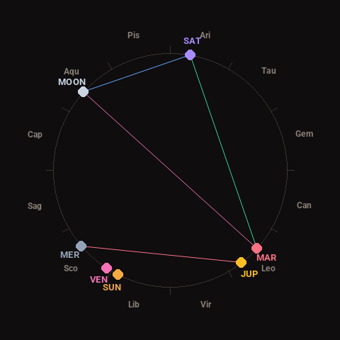
Moon: First Quarter (64% illuminated), in Aquarius.
Notable planetary angles: Moon opposite Mars (180°), Moon sextile Saturn (58°), Mars trine Saturn (122°), Mercury square Jupiter (87°).
Concurrent space weather: planetary Kp index 1.0; strongest recent solar flare: nothing notable.
This is a factual snapshot, not a claim of cause and effect – researchers are divided on whether lunar, planetary or solar factors influence seismic or weather activity. It’s included so readers can track the pattern for themselves over time.