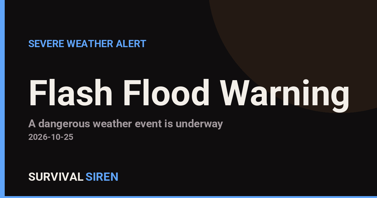
The National Weather Service in Albuquerque has issued a Flash Flood Warning for Curry and Quay counties in eastern New Mexico, effective from 4:40 PM MDT until 7:45 PM MDT on October 25. A flash flood warning means flooding is already happening or is about to happen very soon – this is not a watch or a possibility, it is an active event.
Residents in and around communities such as Clovis (Curry County) and Tucumcari (Quay County) may notice rapidly rising water in arroyos, ditches, and low-lying road crossings, along with water pooling on streets and rural roads. Heavy rain falling on the region’s typically dry terrain can run off quickly, turning normally dry channels into fast-moving water with little warning.
What to do right now
If you are in Curry or Quay County, avoid driving through flooded roadways – even a foot of moving water can carry away a vehicle, and the depth of water over a road is hard to judge at a glance. Move to higher ground if you are near a stream, arroyo, or low-lying area, and do not walk through floodwater, which can hide debris, open holes, or downed power lines.
What to watch
Keep an eye on local radio or weather alerts through the evening, as warnings can be extended if heavy rain continues. Watch for water levels that keep rising after rain appears to stop – runoff can arrive downstream well after the storm passes overhead. If you live in a flood-prone spot, have shoes, a flashlight, and a charged phone within easy reach in case you need to move quickly.
This information comes from the National Weather Service office in Albuquerque, New Mexico (NWS/NOAA).
Frequently Asked Questions
What should I do right now if I'm in Curry or Quay County?
Stay off flooded roads and move away from arroyos, ditches, and low-lying areas. If water is rising near your home, move to higher ground immediately rather than waiting.
How long will this last?
The warning is in effect until 7:45 PM MDT on October 25, though it could be extended if heavy rain continues. Flooding can linger after the warning expires, so stay cautious through the evening.
Is it safe to drive through water on the road?
No. Just 12 inches of moving water can sweep away most vehicles, and flooded roads may be washed out underneath. Turn around and find another route.
Why is flash flooding so dangerous in eastern New Mexico?
The region's dry, hard-packed soil and arroyos don't absorb heavy rain well, so water runs off fast and can flood low areas miles from where the rain actually fell.
Keep tracking this:
Source: National Weather Service (NWS)
Related Reading
- Emergency Communication: Staying Connected When Towers Go Down
- Earthquake Survival: Precautions, Kit & Early Warning in 2026
- Essential Guide to Preparing for a Nuclear War
Sky & Solar Conditions at the Time
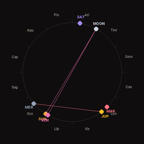
Moon: Full Moon (100% illuminated), in Aries.
Notable planetary angles: Moon opposite Venus (180°), Sun opposite Moon (177°), Mercury square Jupiter (87°), Sun conjunct Venus (3°).
Concurrent space weather: planetary Kp index 1.0; strongest recent solar flare: nothing notable.
This is a factual snapshot, not a claim of cause and effect – researchers are divided on whether lunar, planetary or solar factors influence seismic or weather activity. It’s included so readers can track the pattern for themselves over time.