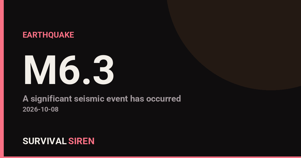
A magnitude 6.3 earthquake struck in the South Pacific near Vanuatu, centered about 102 kilometers northeast of Norsup on the island of Malekula, according to the U.S. Geological Survey (USGS). The quake occurred at a shallow depth of roughly 10 kilometers, which generally means stronger shaking felt at the surface compared with deeper earthquakes of similar size.
What happened and who is affected
The epicenter sits offshore in a seismically active region where the Australian and Pacific tectonic plates meet. Communities on Malekula and nearby islands, including around Norsup and Lakatoro, are closest to the epicenter and most likely to have felt strong shaking. Port Vila, Vanuatu’s capital and largest population center with roughly 50,000 residents, lies about 244 kilometers from the epicenter; shaking there would typically be light to moderate, though tall buildings and soft soils can amplify the sensation.
Earthquakes of this size can cause significant damage to vulnerable structures near the epicenter, such as older masonry or unreinforced buildings, and can trigger rockfalls and landslides on steep island terrain. Readers in the region might have noticed prolonged rolling or jolting, items falling from shelves, or brief power flickers. This is also part of an active pattern: this is at least the 28th magnitude 5.0-or-larger earthquake recorded within about 300 kilometers of this location over the past year.
What to watch for
First, aftershocks. Quakes of this magnitude are commonly followed by smaller aftershocks over the coming hours and days, and some can be strong enough to rattle already-damaged buildings. If you are in the affected area, treat damaged structures with caution.
Second, possible tsunami bulletins. Shallow offshore earthquakes can sometimes generate local tsunamis. Coastal residents should follow guidance from Vanuatu’s meteorology and disaster authorities and move to higher ground if a strong, long-lasting quake occurs near the coast.
Third, basic readiness. Keep shoes, a flashlight, water, and a charged phone handy, secure heavy furniture, and check on neighbors, especially those in older buildings. Report any gas smells or structural damage to local authorities before re-entering buildings.
Earthquake magnitude, depth, and location data in this report come from the U.S. Geological Survey (USGS), which monitors seismic activity worldwide.
Frequently Asked Questions
Was this earthquake felt in Port Vila?
Port Vila is about 244 km from the epicenter, so shaking there would generally be felt as light to moderate. Stronger shaking was most likely on Malekula and nearby islands closer to the epicenter, including around Norsup.
Is a tsunami possible from this earthquake?
The quake was shallow (about 10 km deep) and offshore, which means a local tsunami cannot be ruled out, though not every quake of this size generates one. Coastal residents should monitor official bulletins from Vanuatu authorities and move to higher ground if any warning is issued.
Are aftershocks likely?
Yes, magnitude 6.3 earthquakes are typically followed by aftershocks over the hours and days that follow, and this region has been very active with at least 28 magnitude 5.0+ quakes in the past year. Aftershocks are usually smaller than the main quake but can still damage weakened structures.
Should I expect damage from a magnitude 6.3 quake?
Damage is most likely near the epicenter, where vulnerable buildings such as unreinforced masonry can suffer significant harm, and landslides or rockfalls are possible on steep island terrain. Areas farther away, like Port Vila, typically see little to no structural damage at this distance.
Keep tracking this:
Source: USGS
Related Reading
- Global Seismic Stress Report: Southern Ocean Activity Rises While Six Segments Go Quiet
- Earthquake Survival: Precautions, Kit & Early Warning in 2026
- Analyzing Low-Radiation Nuclear Explosions: Tactical Assessments and Survival Strategies
Reported Impact
2 people have reported feeling this quake to USGS’s “Did You Feel It?” system so far; the maximum reported shaking intensity is 7.0 on the Community Decimal Intensity scale; USGS’s automated PAGER system currently estimates a Green alert level (minimal expected casualties or damage).
Impact figures are from USGS as of when this alert was generated and can rise as more reports come in – this is not a final damage assessment.
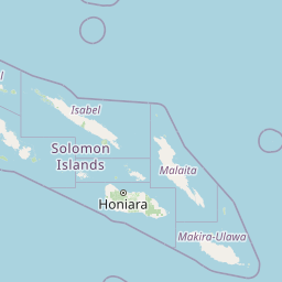

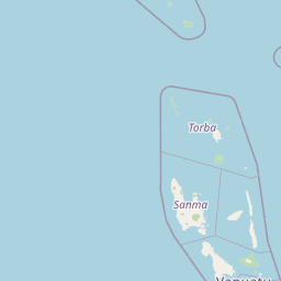

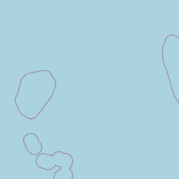
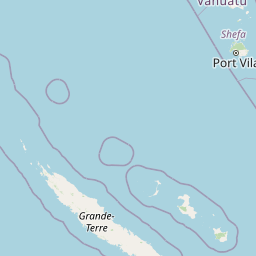
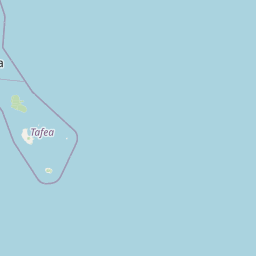
Map centered on the epicenter (-15.54, 168.19). Map data © OpenStreetMap contributors.
Sky & Solar Conditions at the Time
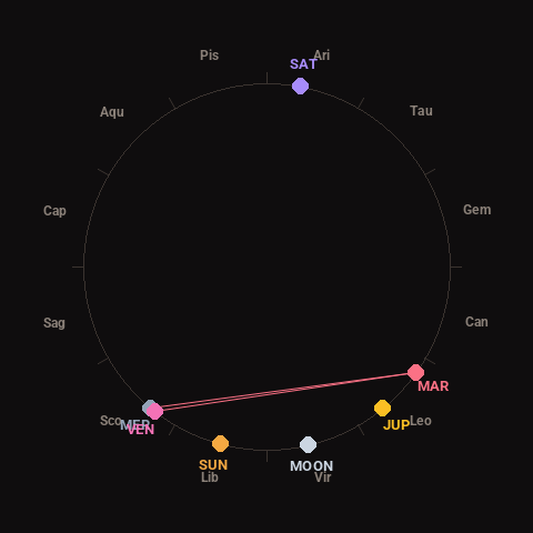
Moon: Waning Crescent (6% illuminated), in Virgo.
Notable planetary angles: Mercury conjunct Venus (2°), Venus square Mars (92°), Mercury square Mars (94°).
Concurrent space weather: planetary Kp index 1.0; strongest recent solar flare: nothing notable.
This is a factual snapshot, not a claim of cause and effect – researchers are divided on whether lunar, planetary or solar factors influence seismic or weather activity. It’s included so readers can track the pattern for themselves over time.
Earthquakes Within ~400 km, Past 30 Days
For context, here is other recent seismic activity in the surrounding region (M2.5+, via USGS):
| Date & Time (UTC) | Magnitude | Location |
|---|---|---|
| 2026-10-05 11:47 UTC | M4.6 | 21 km S of Luganville, Vanuatu |
| 2026-09-29 11:27 UTC | M4.8 | 98 km SW of Port-Vila, Vanuatu |
| 2026-09-20 22:51 UTC | M5.0 | 201 km SSE of Lata, Solomon Islands |
| 2026-09-20 02:50 UTC | M4.2 | Vanuatu region |
| 2026-09-18 13:57 UTC | M4.6 | 94 km NW of Sola, Vanuatu |
| 2026-09-17 19:07 UTC | M4.2 | 44 km ENE of Luganville, Vanuatu |
| 2026-09-17 06:32 UTC | M4.7 | 59 km SSE of Lakatoro, Vanuatu |
| 2026-09-16 09:41 UTC | M4.6 | 8 km W of Port-Olry, Vanuatu |
| 2026-09-15 05:53 UTC | M4.6 | 46 km SSW of Sola, Vanuatu |
| 2026-09-15 04:10 UTC | M4.2 | 68 km WNW of Port-Vila, Vanuatu |
| 2026-09-13 07:19 UTC | M5.2 | 35 km NE of Luganville, Vanuatu |
| 2026-09-12 15:56 UTC | M4.5 | 39 km NNE of Port-Olry, Vanuatu |
| 2026-09-12 09:35 UTC | M4.8 | 124 km WNW of Sola, Vanuatu |
| 2026-09-11 02:28 UTC | M4.7 | 79 km NNE of Isangel, Vanuatu |
| 2026-09-10 22:54 UTC | M4.9 | 130 km WNW of Sola, Vanuatu |
| 2026-09-09 19:14 UTC | M4.2 | 277 km ESE of Sola, Vanuatu |
Emergency number for Vanuatu: 112 (General guidance – always verify locally, as this can vary by region.)