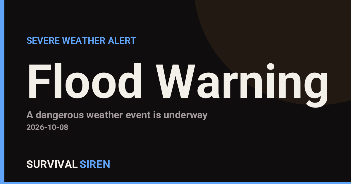
The National Weather Service office in Mobile, Alabama issued a Flood Warning at 10:52 AM CDT on October 8, covering 23 areas across the Southeast. The warning remains in effect until 6:00 PM CDT on Saturday, October 11.
Affected areas include Mobile, Alabama; several Florida counties including Pasco, Citrus, Levy, Marion, Hillsborough, Baker, and Nassau; Charlton County, Georgia; and Louisa County, Iowa, among 13 additional areas. The broad footprint suggests a slow-moving weather system or tropical moisture feeding heavy, persistent rainfall across the region.
What You Might Notice
Residents in warned areas can expect rising water in rivers, creeks, and low-lying spots, along with ponding on roadways and in poor-drainage neighborhoods. Underpasses, rural roads, and areas near streams are typically the first to flood. Commuters in the Tampa Bay area (Hillsborough and Pasco counties) and along the Florida-Georgia border should expect slower travel and possible road closures during heavy rain periods.
Who is affected: anyone living, working, or traveling in the 23 listed counties, especially those in flood-prone zones, near rivers, or in low-lying neighborhoods. A Flood Warning means flooding is occurring or imminent – this is a step above a Flood Watch, so conditions warrant action, not just awareness.
Practical steps to take now:
– Never drive through flooded roads. Six inches of moving water can knock a person down, and a foot can float most cars. Turn around, don’t drown.
– Move vehicles, outdoor equipment, and valuables to higher ground if you live in a low-lying area, and keep phones charged in case of power interruptions.
– Monitor local NWS updates and county emergency management alerts through the weekend, since the warning runs through October 11 and conditions can change.
Data for this alert comes from the National Weather Service (NWS Mobile, AL office), part of NOAA.
Frequently Asked Questions
What should I do right now if I'm in one of the warned areas?
Avoid driving through any water-covered roads, move valuables and vehicles to higher ground if you're in a flood-prone spot, and keep a weather radio or phone alerts on through the weekend.
How long will this flood warning last?
The warning is currently in effect until 6:00 PM CDT on October 11, though the NWS may extend, expand, or cancel it as conditions evolve.
Is it safe to drive in Tampa or Mobile during this warning?
Main highways are generally passable, but expect ponding on roads and possible closures in low-lying areas – never attempt to cross flooded stretches, even if the water looks shallow.
What's the difference between a Flood Watch and a Flood Warning?
A watch means flooding is possible; a warning – like this one – means flooding is happening or about to happen, so you should act on your preparedness plans now.
Keep tracking this:
Source: National Weather Service (NWS)
Related Reading
- Emergency Communication: Staying Connected When Towers Go Down
- Earthquake Survival: Precautions, Kit & Early Warning in 2026
- Essential Guide to Preparing for a Nuclear War
Sky & Solar Conditions at the Time
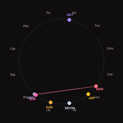
Moon: Waning Crescent (5% illuminated), in Virgo.
Notable planetary angles: Venus square Mars (92°), Mercury conjunct Venus (2°), Mercury square Mars (94°).
Concurrent space weather: planetary Kp index 2.0; strongest recent solar flare: M6.7-class.
This is a factual snapshot, not a claim of cause and effect – researchers are divided on whether lunar, planetary or solar factors influence seismic or weather activity. It’s included so readers can track the pattern for themselves over time.