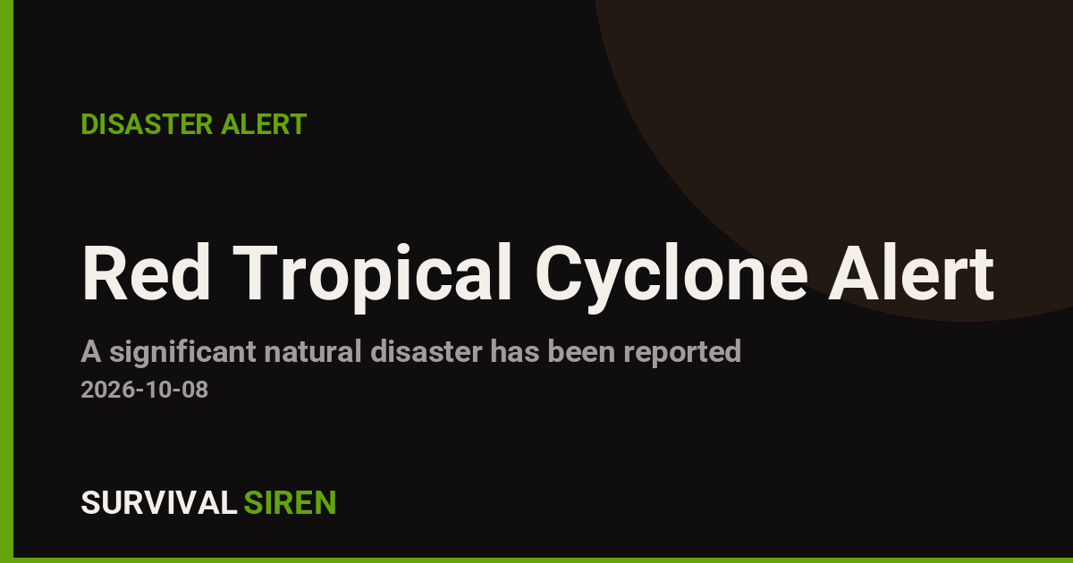
A powerful tropical cyclone named SIMON-26 is active in the Eastern Pacific and is affecting Mexico, according to a Red-level alert from GDACS, the European Union’s disaster monitoring system. The storm was active from October 7 to October 8, 2026, with maximum sustained winds of 213 km/h (about 132 mph) — strong enough to qualify as a major hurricane on the Saffir-Simpson scale.
Roughly 758,000 people in Mexico are estimated to be within the zone experiencing winds of 120 km/h (75 mph) or higher — the equivalent of Category 1 hurricane strength or greater. GDACS rates Mexico’s vulnerability to this event as Medium, reflecting both the country’s coastal exposure and its existing disaster-response capacity.
What residents and travelers might notice
Communities in the affected coastal and near-coastal areas can expect destructive winds, torrential rain, flash flooding, and dangerous storm surge near landfall zones. Power outages, downed trees, blocked roads, and suspended flights or ferry service are all realistic. Even areas outside the strongest wind band may see flooding rains, which are often the deadliest part of a tropical cyclone — especially in mountainous terrain where mudslides can occur.
Sensible steps right now
If you are in the affected area: follow instructions from Mexico’s civil protection authorities (Protección Civil) and local officials, and be ready to evacuate if ordered. Keep phones charged, gather water, medications, documents, and flashlights, and stay away from windows during the strongest winds.
Do not attempt to drive through flooded roads — just 30 cm (one foot) of moving water can sweep away a vehicle. After the storm passes, watch for downed power lines and avoid coastal areas until authorities declare them safe.
If you have travel plans to or from Mexico’s Pacific coast, check with your airline before heading to the airport, as cancellations and delays are likely while the storm is active.
This alert is based on data from the Global Disaster Alert and Coordination System (GDACS), a joint initiative of the United Nations and the European Commission, which draws on meteorological reporting from national weather services.
Frequently Asked Questions
How strong is Tropical Storm Simon?
Maximum sustained winds reached 213 km/h (about 132 mph), which is equivalent to a Category 4 hurricane on the Saffir-Simpson scale — a very dangerous storm despite being labeled a tropical storm in the alert.
How many people are affected?
GDACS estimates about 758,000 people in Mexico are within the zone experiencing Category 1 hurricane-strength winds (120 km/h or higher).
I'm traveling to Mexico's Pacific coast — should I cancel?
Check with your airline, as flights in and out of affected coastal airports are likely to be delayed or cancelled through October 8. Follow official travel advisories before making decisions.
What is the biggest danger from this storm?
While the winds are extreme, flooding and storm surge typically cause the most harm in tropical cyclones. Avoid flooded roads and coastal areas, and follow evacuation orders from Protección Civil.
Keep tracking this:
Source: GDACS (EU Joint Research Centre)
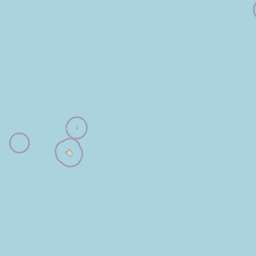
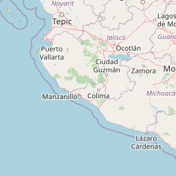
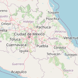





Map centered on the epicenter (15.40, -103.10). Map data © OpenStreetMap contributors.
Sky & Solar Conditions at the Time
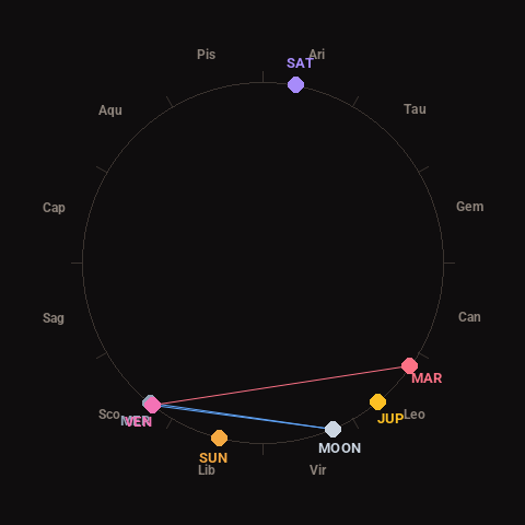
Moon: Waning Crescent (10% illuminated), in Virgo.
Notable planetary angles: Moon sextile Venus (61°), Mercury conjunct Venus (1°), Moon sextile Mercury (61°), Venus square Mars (93°).
Concurrent space weather: planetary Kp index 1.0; strongest recent solar flare: nothing notable.
This is a factual snapshot, not a claim of cause and effect – researchers are divided on whether lunar, planetary or solar factors influence seismic or weather activity. It’s included so readers can track the pattern for themselves over time.