A tropical cyclone named Isaias-26 is active in the Atlantic Ocean and is expected to affect parts of the United States between October 6 and October 9, 2026. The Global Disaster Alert and Coordination System (GDACS) has classified this as an Orange alert — its middle-level warning, meaning a significant event with potential for serious local impacts.
At its peak, Isaias-26’s maximum sustained winds are estimated at 194 km/h (about 120 mph). That strength goes well past the 74 mph hurricane threshold and would place the storm around Category 3 on the Saffir-Simpson scale if it maintains that intensity near land. GDACS estimates that roughly 753,000 people could experience winds of Category 1 strength (120 km/h or about 75 mph) or higher. Overall vulnerability for the United States is rated Low, reflecting the country’s strong infrastructure and emergency response capacity.
Residents along the Atlantic coast in or near the forecast path may notice strengthening winds, heavy rain bands, rough surf, and dangerous rip currents before any landfall. Coastal flooding and storm surge are common companions of storms at this strength, and inland areas can see flash flooding and power outages from downed trees and lines.
What to watch and how to prepare
First, track the official forecast cone and any watches or warnings from the National Hurricane Center — the projected path can shift over the next two to three days. Second, review the basics now: charge devices, top off prescriptions, gather a few days of water and food, and know your local evacuation zone if you live near the coast. Third, avoid driving through flooded roads — even shallow moving water can sweep away a vehicle — and stay clear of beaches and jetties until the storm passes.
This alert is based on data from GDACS, the EU Joint Research Centre’s Global Disaster Alert and Coordination System, with U.S. forecasts provided by NOAA’s National Hurricane Center and the National Weather Service.
Frequently Asked Questions
How strong is Isaias-26 right now?
Maximum sustained winds are estimated at 194 km/h (about 120 mph), which is roughly Category 3 strength if maintained. Intensity can change quickly, so the National Hurricane Center's updates are the best source.
How many people could be affected?
GDACS estimates about 753,000 people may experience winds of at least Category 1 strength (75 mph). Actual impacts will depend on where the center of the storm tracks.
Should I evacuate?
Evacuation decisions come from local emergency management, not from forecast data alone. If you live in a designated evacuation zone and an order is issued, follow it; otherwise, sheltering in place with supplies is often sufficient.
When will the worst conditions arrive?
The storm is expected to affect the United States between October 6 and October 9, 2026. Conditions typically deteriorate 12 to 24 hours before the center passes, so preparations should be finished well ahead of that window.
Keep tracking this:
Source: GDACS (EU Joint Research Centre)
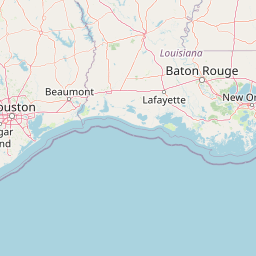
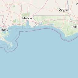
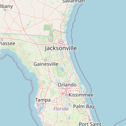


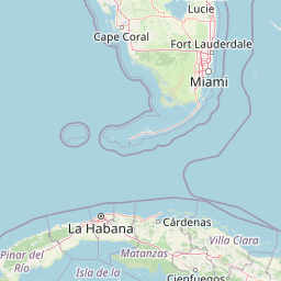
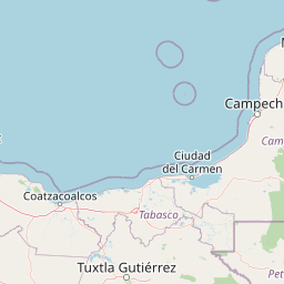
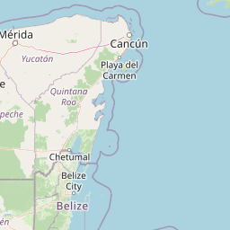

Map centered on the epicenter (26.40, -88.00). Map data © OpenStreetMap contributors.
Sky & Solar Conditions at the Time
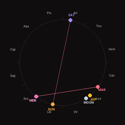
Moon: Waning Crescent (16% illuminated), in Leo.
Notable planetary angles: Mercury conjunct Venus (0°), Sun opposite Saturn (178°), Mercury square Mars (93°), Venus square Mars (93°).
Concurrent space weather: planetary Kp index 2.0; strongest recent solar flare: nothing notable.
This is a factual snapshot, not a claim of cause and effect – researchers are divided on whether lunar, planetary or solar factors influence seismic or weather activity. It’s included so readers can track the pattern for themselves over time.