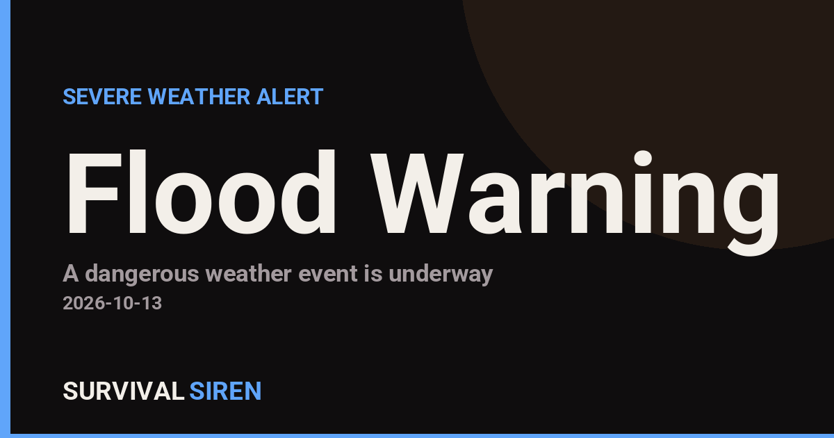
The National Weather Service office in Mobile, Alabama has issued a Flood Warning covering 15 areas across Florida, Louisiana, South Carolina, and North Carolina. The warning was issued on October 12 at 10:33 PM CDT and remains in effect until October 13 at 11:00 PM CDT.
A Flood Warning means flooding is occurring or expected soon – this is a step above a Flood Watch, which only means conditions are favorable for flooding. If you live in or near one of the listed areas, assume that rivers, creeks, or low-lying spots in your vicinity may rise quickly.
Named areas include Okaloosa and Volusia counties in Florida, Calcasieu Parish in Louisiana, Calhoun, Richland, and Lexington counties in South Carolina, and Alexander, Catawba, and Iredell counties in North Carolina, plus five additional areas. Residents in these communities should watch for rising water on roads, in yards, and around streams and drainage ditches.
What you can do now
Never drive through water covering a road – just six inches of moving water can knock a person down, and two feet can carry away most vehicles. If you live near a creek or in a known flood-prone spot, move valuables and electronics off the ground floor, keep a flashlight and charged phone handy, and know your route to higher ground. Pay attention to any follow-up warnings from your local National Weather Service office, as warnings can be extended or upgraded if conditions worsen.
This information comes from the National Weather Service (NWS), part of NOAA.
Frequently Asked Questions
Is flooding happening right now, or just possible?
A Flood Warning means flooding is already occurring or imminent in the listed areas, unlike a watch, which means conditions are only favorable. If you are in one of the 15 named areas, treat it as an active threat.
How long will this warning last?
The warning is currently set to expire on October 13 at 11:00 PM CDT, though NWS offices can extend, expand, or cancel it depending on how conditions develop.
What should I do if water is covering the road?
Do not drive or walk through it – turn around and find another route. Most flood deaths occur in vehicles, and the water is often deeper and faster-moving than it looks.
My county isn't listed – am I in the clear?
Not necessarily; the summary notes five additional affected areas beyond those named. Check your local National Weather Service alerts to confirm whether your specific location is included.
Keep tracking this:
Source: National Weather Service (NWS)
Related Reading
- Emergency Communication: Staying Connected When Towers Go Down
- Earthquake Survival: Precautions, Kit & Early Warning in 2026
- Essential Guide to Preparing for a Nuclear War
Sky & Solar Conditions at the Time
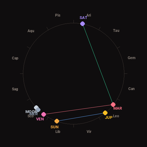
Moon: Waxing Crescent (6% illuminated), in Scorpio.
Notable planetary angles: Venus square Mars (88°), Sun sextile Jupiter (58°), Mars trine Saturn (118°), Moon conjunct Mercury (3°).
Concurrent space weather: planetary Kp index 3.3; strongest recent solar flare: nothing notable.
This is a factual snapshot, not a claim of cause and effect – researchers are divided on whether lunar, planetary or solar factors influence seismic or weather activity. It’s included so readers can track the pattern for themselves over time.