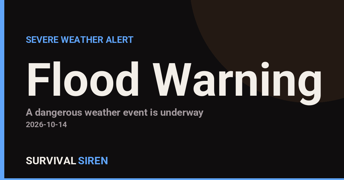
The National Weather Service office in Mobile, Alabama has issued a Flood Warning covering 8 areas across three states, effective from 8:04 PM CDT on October 13 until 3:37 AM CDT on October 14. A Flood Warning means flooding is already occurring or is imminent – this is a step above a Flood Watch, which only means conditions are favorable for flooding.
The affected counties are: Okaloosa, FL; Lake, FL; Volusia, FL; Sarasota, FL; Brantley, GA; and Calhoun, Lexington, and Richland counties in South Carolina. Note that these areas span a wide region, so conditions will vary – the warning reflects heavy rainfall affecting multiple river basins and low-lying areas overnight.
What You Might Notice
Residents in the warned areas may see water ponding on roads, rising levels in creeks, streams, and drainage ditches, and standing water in low-lying yards and underpasses. Overnight timing makes this more dangerous, since flooded roads are much harder to spot in the dark. Never drive through water covering a roadway – it takes as little as 6 inches of moving water to stall a vehicle and around 12 inches to carry away a small car.
Practical steps for the next several hours: avoid unnecessary travel overnight, move vehicles out of low-lying parking spots, keep phones charged and weather alerts enabled, and if you live near a creek or in a known flood-prone spot, be ready to move to higher ground quickly. Turn around, don’t drown – most flood deaths happen in vehicles.
Frequently Asked Questions
What should I do right now if I'm in one of these counties?
Stay off the roads overnight if you can, and never drive through water-covered pavement – depth and current are impossible to judge in the dark. Keep your phone charged with wireless emergency alerts turned on.
How long will this warning last?
The current warning runs until 3:37 AM CDT on October 14, but the NWS may extend or reissue it if heavy rain continues or water is slow to drain. Check for updated statements before heading out in the morning.
Does a Flood Warning mean my home will flood?
Not necessarily – it means flooding is occurring or imminent somewhere in the warned area, typically along creeks, rivers, and poor-drainage spots. If you're in a low-lying or flood-prone location, be prepared to move to higher ground.
Is it safe to drive to work in the morning?
Wait until the warning expires and check road conditions first – standing water can persist after the rain stops, and washed-out or undermined roads may not be visible. Give creeks and drainage areas time to recede.
Keep tracking this:
Source: National Weather Service (NWS)
Related Reading
- Emergency Communication: Staying Connected When Towers Go Down
- Earthquake Survival: Precautions, Kit & Early Warning in 2026
- Essential Guide to Preparing for a Nuclear War
Sky & Solar Conditions at the Time
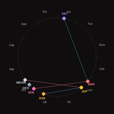
Moon: Waxing Crescent (9% illuminated), in Scorpio.
Notable planetary angles: Sun sextile Jupiter (59°), Mars trine Saturn (118°), Venus square Mars (88°), Moon square Jupiter (93°).
Concurrent space weather: planetary Kp index 1.3; strongest recent solar flare: nothing notable.
This is a factual snapshot, not a claim of cause and effect – researchers are divided on whether lunar, planetary or solar factors influence seismic or weather activity. It’s included so readers can track the pattern for themselves over time.