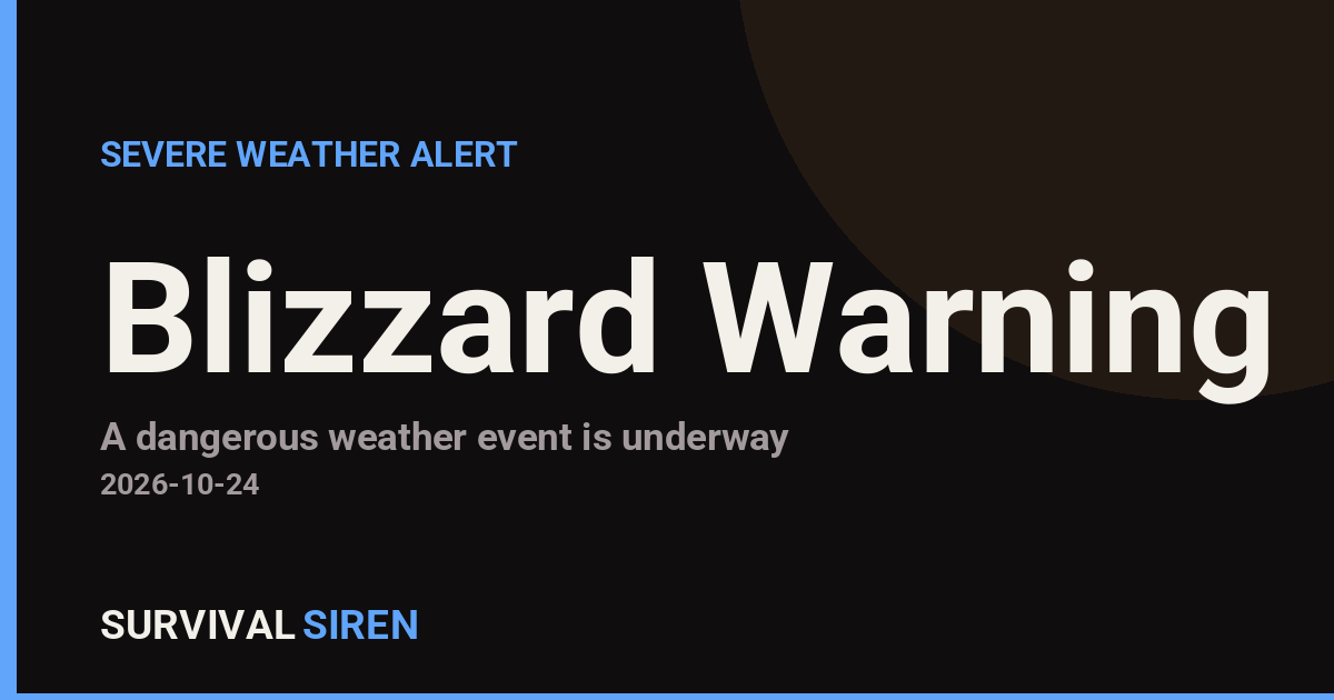
The National Weather Service in Fairbanks has issued a Blizzard Warning for five areas of northwest Alaska, in effect from 9:32 PM AKDT Thursday, October 23 until 7:00 AM AKDT Friday, October 24. The warning covers Kivalina and Red Dog Dock, the Lower Kobuk Valley, the Baldwin Peninsula, the Northern Seward Peninsula, and the Western Arctic Coast.
A blizzard warning means sustained winds or frequent gusts of 35 mph or greater are expected to combine with falling or blowing snow, dropping visibility to a quarter-mile or less for at least three hours. Residents in these coastal and village communities can expect whiteout conditions, drifting snow, and dangerous wind chills. Travel between villages, on local roads, or by small aircraft will be hazardous to impossible during the warning period.
The affected areas include several small, remote communities where supply routes and emergency response are already limited. Anyone with outdoor work, subsistence activity, or travel planned overnight should postpone until conditions improve Friday morning.
What to do now
Stay indoors and off the roads once conditions deteriorate. Make sure you have warm clothing, food, water, flashlights, and a way to charge your phone in case of power interruptions. Check in on elders and neighbors who may need help securing fuel or supplies, and monitor local radio or community alert channels for updates from the borough or village councils.
Conditions are expected to gradually improve after 7:00 AM Friday, though blowing snow can persist even after the warning expires. Continue to follow local forecasts before traveling.
Data for this alert comes from the National Weather Service (NWS) Fairbanks office.
Frequently Asked Questions
What does a Blizzard Warning actually mean?
It means winds of 35 mph or more combined with snow will reduce visibility to a quarter-mile or less for at least three hours. It is more severe than a winter storm warning because of the visibility and wind criteria.
What should I do right now if I'm in the warned area?
Stay indoors, avoid travel, and make sure you have heat, food, water, and flashlights ready. If you must go out, dress in layers and tell someone your route and expected return time.
How long will this blizzard last?
The warning runs until 7:00 AM AKDT on Friday, October 24, so the worst conditions are expected overnight. Blowing snow and poor visibility can linger after the warning expires, so check updated forecasts before traveling.
Will flights to these villages be affected?
Yes, very likely. Small aircraft that serve communities like Kivalina typically cannot operate in blizzard conditions, so expect cancellations and delays through the warning period and possibly after.
Keep tracking this:
Source: National Weather Service (NWS)
Related Reading
- Emergency Communication: Staying Connected When Towers Go Down
- Earthquake Survival: Precautions, Kit & Early Warning in 2026
- Essential Guide to Preparing for a Nuclear War
Sky & Solar Conditions at the Time
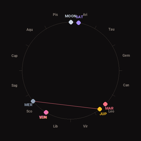
Moon: Waxing Gibbous (93% illuminated), in Aries.
Notable planetary angles: Sun conjunct Venus (0°), Mercury square Jupiter (88°).
Concurrent space weather: planetary Kp index 2.0; strongest recent solar flare: nothing notable.
This is a factual snapshot, not a claim of cause and effect – researchers are divided on whether lunar, planetary or solar factors influence seismic or weather activity. It’s included so readers can track the pattern for themselves over time.