
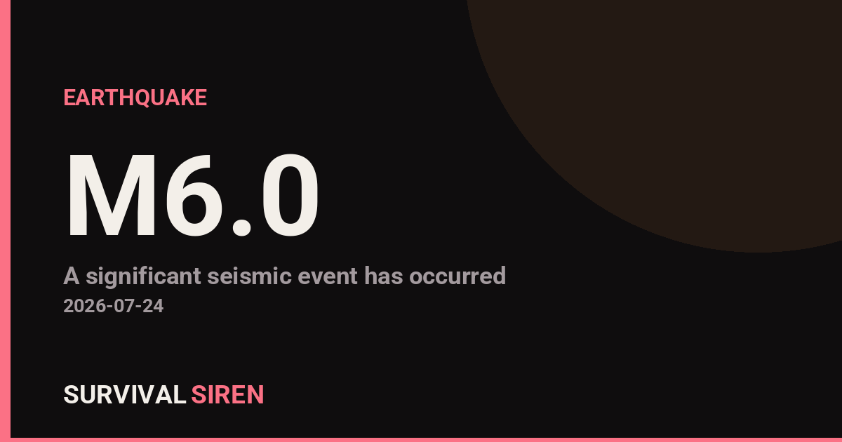
A magnitude 6.0 earthquake occurred approximately 82 kilometers west of Sola, Vanuatu at a depth of roughly 45 kilometers, according to the U.S. Geological Survey. This is a moderate-to-significant seismic event capable of causing structural damage in populated areas near the epicenter.
What Happened
The earthquake registered 6.0 on the magnitude scale, which describes the energy released rather than the damage it causes. At 45 km depth, this quake occurred well below the surface—deeper earthquakes typically spread their energy over a wider area, reducing intense shaking at any single location.
What People Might Notice: Residents within 50–100 km of the epicenter likely felt moderate to strong shaking lasting 10–20 seconds. Aftershocks of magnitude 4.0 to 5.0 are common following events of this size and may continue for days or weeks.
Who Is Affected: Vanuatu sits in the Pacific Ring of Fire, an active seismic zone. Communities on nearby islands—particularly Sola and surrounding settlements—may experience damage to older buildings, fallen items, and minor landslides in hilly terrain. Coastal areas should monitor for tsunami advisories, though deep earthquakes are less likely to trigger large waves than shallow, underwater quakes.
What to Watch:
1. Official Updates: Check Pacific Tsunami Warning Center alerts and USGS Earthquake Hazards data for aftershock activity and any tsunami watches.
2. Building Safety: If you’re in the region, inspect structures for cracks or damage and stay alert for aftershocks, which can destabilize already-weakened buildings.
3. Emergency Supplies: Stock water, first aid, and flashlights in case of infrastructure disruption. Vanuatu’s remote island setting can delay aid delivery.
Current earthquake and space weather monitoring data is provided by NOAA and available on our live dashboard.
Source: USGS
Related Reading
Sky & Solar Conditions at the Time
Moon: Waxing Gibbous (81% illuminated), in Sagittarius.
Notable planetary angles: Mercury sextile Venus (60°), Mercury square Saturn (92°), Venus square Mars (88°), Sun conjunct Jupiter (3°).
Concurrent space weather: planetary Kp index 0.7; strongest recent solar flare: nothing notable.
This is a factual snapshot, not a claim of cause and effect – researchers are divided on whether lunar, planetary or solar factors influence seismic or weather activity. It’s included so readers can track the pattern for themselves over time.
Earthquakes Within ~400 km, Past 30 Days
For context, here is other recent seismic activity in the surrounding region (M2.5+, via USGS):
| Date & Time (UTC) | Magnitude | Location |
|---|---|---|
| 2026-07-23 14:12 UTC | M4.7 | 150 km SSE of Lata, Solomon Islands |
| 2026-07-22 21:42 UTC | M4.9 | 104 km ENE of Port-Olry, Vanuatu |
| 2026-07-20 12:53 UTC | M4.8 | 51 km NNE of Port-Olry, Vanuatu |
| 2026-07-16 22:18 UTC | M4.4 | 58 km SE of Lata, Solomon Islands |
| 2026-07-12 03:04 UTC | M4.6 | 28 km E of Port-Olry, Vanuatu |
| 2026-07-11 17:23 UTC | M4.4 | 127 km WNW of Sola, Vanuatu |
| 2026-07-11 12:48 UTC | M4.6 | 152 km SSW of Lakatoro, Vanuatu |
| 2026-07-09 12:52 UTC | M5.1 | 59 km NNE of Port-Olry, Vanuatu |
| 2026-07-04 12:42 UTC | M4.5 | 41 km E of Port-Olry, Vanuatu |
| 2026-07-03 07:56 UTC | M4.5 | 62 km NW of Port-Olry, Vanuatu |
| 2026-07-01 17:29 UTC | M4.5 | 36 km NE of Luganville, Vanuatu |
| 2026-06-28 07:05 UTC | M5.1 | 32 km NE of Port-Olry, Vanuatu |
Emergency number for Vanuatu: 112 (General guidance – always verify locally, as this can vary by region.)