A powerful tropical cyclone named Trudy-26 has been active in the Eastern Pacific from October 13 to October 15, 2026, prompting an Orange-level alert from GDACS, the Global Disaster Alert and Coordination System run by the EU Joint Research Centre.
Trudy-26 reached maximum sustained winds of 231 km/h (about 143 mph), well above the 74 mph threshold that defines a hurricane. That strength puts it in major-hurricane territory, capable of significant structural damage, downed trees and power lines, and dangerous coastal conditions. According to GDACS estimates, roughly 45,000 people in Mexico are within the zone experiencing winds of at least 120 km/h (Category 1 strength or higher). Mexico’s overall vulnerability to this event is rated as medium.
Residents in affected coastal and nearby inland areas may notice strong, damaging winds, very heavy rainfall, rough surf and dangerous rip currents along the Pacific shoreline, and possible power outages and blocked roads from fallen trees or debris. Low-lying coastal communities face the greatest risk from storm surge, while mountainous terrain inland can quickly turn heavy rain into flash flooding and mudslides.
If you are in the affected region, a few sensible steps are worth taking. First, follow instructions from Mexico’s civil protection authorities and local officials, including any evacuation orders – wind and water conditions can deteriorate faster than expected. Second, stay away from the coast: large waves, storm surge, and rip currents are life-threatening even before and after the storm’s center passes. Third, prepare for possible power and water disruptions by keeping flashlights, charged phones, drinking water, and basic supplies on hand, and avoid driving through flooded roads.
What to watch next
The main concerns over the coming hours are lingering flash flooding and mudslides as the storm’s rainfall continues, plus damage assessments along the hardest-hit coastal areas. Conditions should gradually improve as Trudy-26 weakens or moves away, but saturated ground means flood risks can persist after the winds die down.
This alert is based on data from GDACS (EU Joint Research Centre), which draws on international tropical cyclone tracking information consistent with NOAA and national meteorological services.
Frequently Asked Questions
How strong is Hurricane Trudy-26?
Trudy-26 reached maximum sustained winds of 231 km/h (about 143 mph), making it a major hurricane well above the 74 mph hurricane threshold.
How many people are affected in Mexico?
GDACS estimates roughly 45,000 people in Mexico are exposed to winds of Category 1 strength (120 km/h) or higher.
What are the biggest dangers besides the wind?
Storm surge and dangerous surf along the Pacific coast, plus flash flooding and mudslides inland from heavy rainfall, especially in mountainous areas.
What should I do if I'm in the affected area?
Follow local civil protection instructions and any evacuation orders, stay away from beaches and flooded roads, and keep flashlights, water, and charged phones ready in case of power outages.
Keep tracking this:
Source: GDACS (EU Joint Research Centre)
Related Reading

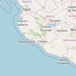
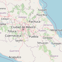


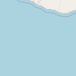



Map centered on the epicenter (13.70, -101.70). Map data © OpenStreetMap contributors.
Sky & Solar Conditions at the Time
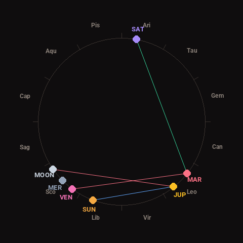
Moon: Waxing Crescent (9% illuminated), in Scorpio.
Notable planetary angles: Sun sextile Jupiter (59°), Mars trine Saturn (118°), Venus square Mars (88°), Moon square Jupiter (94°).
Concurrent space weather: planetary Kp index 2.3; strongest recent solar flare: nothing notable.
This is a factual snapshot, not a claim of cause and effect – researchers are divided on whether lunar, planetary or solar factors influence seismic or weather activity. It’s included so readers can track the pattern for themselves over time.