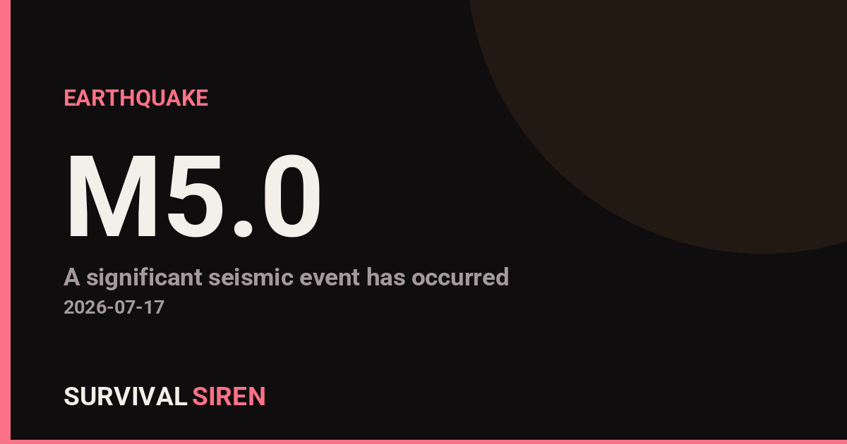
A magnitude 5.0 earthquake struck south of the Kermadec Islands on Tuesday, with its epicenter located approximately 10 kilometers below the seafloor, according to the U.S. Geological Survey. The tremor was centered in a seismically active region of the South Pacific, roughly 1,000 kilometers northeast of New Zealand’s North Island.
Magnitude 5.0 earthquakes are considered moderate and can cause shaking that people feel indoors and outdoors in the immediate area. In this case, residents and visitors in nearby island communities may have noticed noticeable swaying or rattling. The shallow depth of 10 kilometers typically allows seismic energy to reach the surface more directly, potentially amplifying what people feel on land.
Who This Affects
The primary impact zone includes the Kermadec Islands themselves and surrounding maritime areas. The nearest population centers—including parts of New Zealand and various Pacific island nations—may have experienced minor shaking depending on their exact distance from the epicenter. A magnitude 5.0 is generally too small to trigger significant tsunami concern, though local monitoring agencies follow standard protocols.
What to Watch
Aftershocks: Moderate earthquakes often produce smaller aftershocks in the following hours and days. These are typically weaker but can be felt by sensitive instruments and sometimes by people nearby.
Updated information: The USGS and regional seismic networks continuously refine magnitude, depth, and location data as more sensor readings come in. Initial reports may adjust slightly.
Emergency readiness: While this event poses no immediate regional threat, it’s a good reminder for residents in seismic zones to review earthquake preparedness basics: securing heavy furniture, identifying safe spots indoors, and keeping emergency supplies accessible.
For live updates on seismic activity and space weather monitoring, visit the NOAA and USGS dashboards at https://survivalsiren.com/spaceweather/feed.html.
Source: USGS