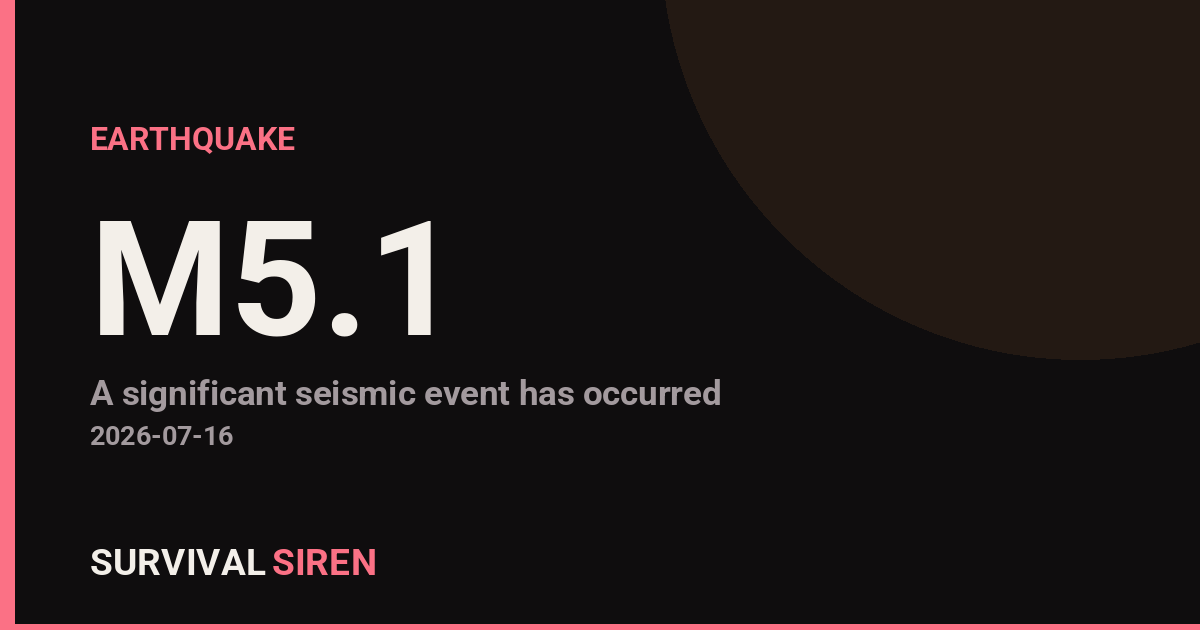
A magnitude 5.1 earthquake occurred approximately 122 kilometers southeast of McCarthy, Alaska at 10 km depth, according to the U.S. Geological Survey. This moderate-strength quake struck a remote region of southeastern Alaska, an area known for seismic activity due to its position along major fault lines.
Residents and visitors within roughly 100 km of the epicenter likely felt noticeable shaking. Magnitude 5.1 earthquakes typically cause minor to light damage in populated areas—think rattling dishes, swaying structures, and brief power disruptions. In McCarthy’s remote location, impacts are expected to be minimal, though the quake may have triggered small rockslides in nearby terrain.
Who This Affects
The primary concern zone includes small communities in the Copper River region and along the Alaska interior. McCarthy itself is a small, historic settlement with limited infrastructure. Remote areas sometimes experience delayed damage assessments, so official reports may take hours to finalize. Anyone in southeastern Alaska should monitor local emergency management updates for any damage confirmations or aftershock warnings.
What to Watch For
Aftershocks: Magnitude 5+ earthquakes often trigger smaller follow-up tremors. If you’re in the region, expect possible minor aftershocks over the next 24–48 hours. Stay alert but not alarmed.
Road and trail conditions: Remote highways and hiking routes in the area should be checked for rockfall or minor ground shifts, especially in mountainous terrain where loose material can destabilize.
Communication resilience: Alaska’s remote communities sometimes rely on limited connectivity. If you have family or contacts in the region, a simple check-in via satellite messenger or traditional phone (if available) confirms everyone’s okay without overloading emergency channels.
For real-time seismic data and regional updates, visit the USGS Earthquake Hazards Program or monitor our live space weather and natural hazard dashboard at https://survivalsiren.com/spaceweather/feed.html.
Source: USGS