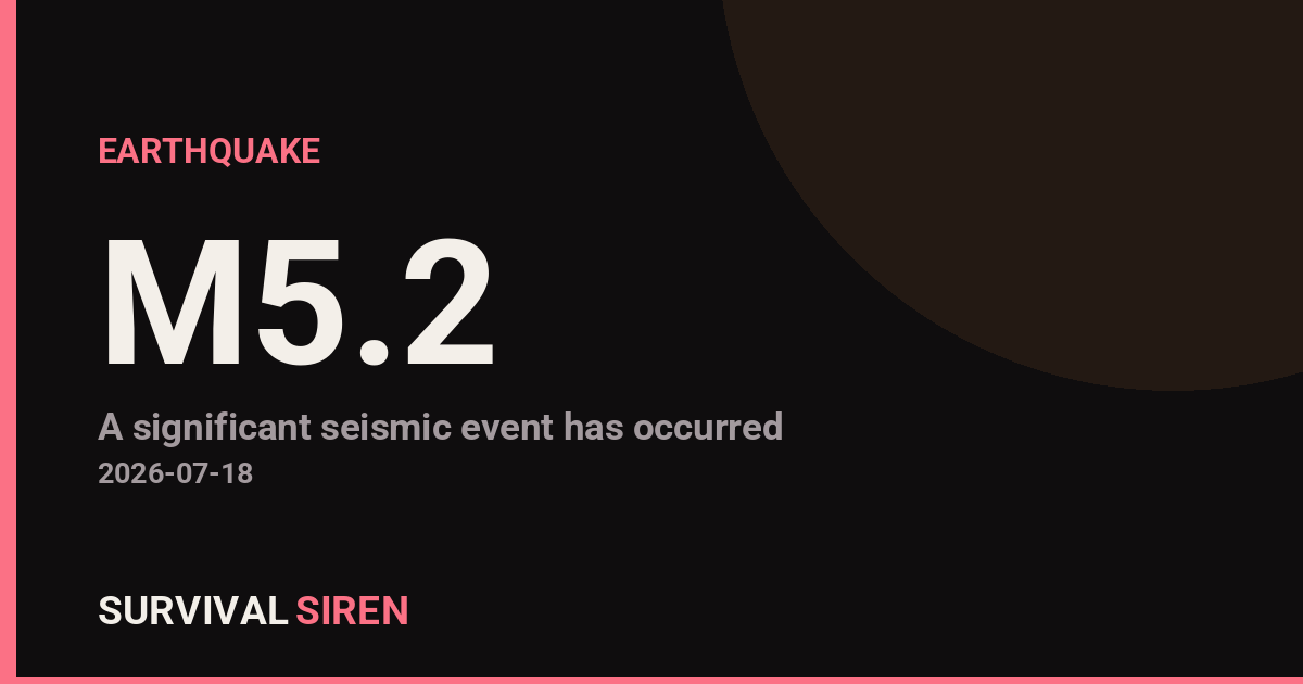
A magnitude 5.2 earthquake occurred south of the Kermadec Islands at a depth of approximately 10 kilometers, according to the U.S. Geological Survey. While notable, this moderate-strength quake is expected to have limited impact beyond the immediate region.
What This Means
The Kermadec Islands are located northeast of New Zealand in the South Pacific. At magnitude 5.2 and shallow depth (10 km), people in nearby island communities and coastal New Zealand areas may have felt noticeable shaking—described as moderate rumbling or swaying rather than violent movement. The distance from major population centers means widespread disruption is unlikely.
Who This Affects
Residents of the Kermadec Islands, northern New Zealand, and nearby Pacific island communities are the primary areas where shaking would be felt. A magnitude 5.2 earthquake typically causes minor to light damage in older or poorly constructed buildings, but modern structures in developed areas generally sustain little to no damage.
What to Watch
1. Aftershock activity: Earthquakes of this size sometimes produce smaller aftershocks over the following hours or days. Stay aware if you’re in the affected region, but aftershocks usually decrease in frequency and intensity quickly.
2. Updated USGS reports: Check the USGS earthquake hazards site for confirmation of magnitude, depth, and any revised data. Preliminary numbers can shift slightly as seismic data is refined.
3. Tsunami potential: For submarine earthquakes, always verify whether tsunami advisories have been issued for your area. In this case, no significant tsunami impact is expected, but this is worth confirming for your own safety awareness.
For those interested in ongoing space weather and natural hazard monitoring, real-time seismic and environmental data is available at https://survivalsiren.com/spaceweather/feed.html through NOAA and partner agencies.
Source: USGS