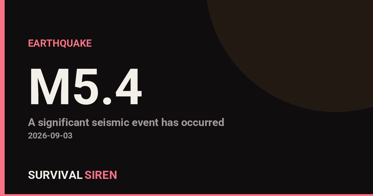
A magnitude 5.4 earthquake struck 52 kilometers (about 32 miles) west of Bulolo, Papua New Guinea, according to the US Geological Survey. The quake occurred at a depth of roughly 70 kilometers (43 miles), which is moderately deep. Deeper earthquakes like this one tend to spread shaking over a wider area but with less intensity at the surface than a shallow quake of the same size.
People in and around Bulolo, and potentially in larger population centers in Morobe Province such as Wau and possibly Lae, may have felt light to moderate shaking – the kind that rattles windows, swings hanging objects, and can briefly unsteady anyone standing. At this magnitude and depth, significant structural damage is unlikely in well-built structures, though older or informal construction in the region can be more vulnerable, and minor damage such as cracked walls or fallen items is possible close to the epicenter.
Papua New Guinea sits on the boundary of several tectonic plates, making earthquakes a regular occurrence in this region. Moderate quakes of this size happen there fairly often and usually pass without serious consequences.
What to keep in mind
If you are in the affected area: expect possible aftershocks, which are common after a magnitude 5+ earthquake and are typically smaller than the main shock. Check your home for new cracks, especially around doorways and foundations, before resuming normal activity. In hilly or mountainous terrain like much of this region, be aware that shaking can loosen slopes, so watch for rockfalls or landslides on roads, particularly if rain follows.
Data for this alert comes from the US Geological Survey (USGS), which monitors and reports earthquakes worldwide.
Frequently Asked Questions
Was the earthquake felt in nearby cities?
Yes, shaking was likely felt in Bulolo and surrounding communities in Morobe Province, and possibly as far as Lae, given the quake's size. At 70 km deep, the shaking would be widely felt but generally moderate rather than severe.
Is a tsunami possible from this earthquake?
No. This earthquake occurred on land, inland from the coast, and at a moderate depth, so it does not pose a tsunami threat. Tsunamis typically require a large, shallow quake beneath the ocean floor.
Are aftershocks likely?
Yes, aftershocks are common after a magnitude 5.4 earthquake, though they are usually smaller than the main event. Most fade over hours to days, and they rarely cause additional damage beyond what the initial quake did.
Should I expect serious damage in Bulolo?
Widespread serious damage is unlikely at this magnitude and depth, but minor damage – cracked plaster, fallen items, or damage to older or informally built structures – is possible near the epicenter. Check buildings for new cracks and be cautious of loose debris.
Keep tracking this: the Space Weather Command Center shows live storm levels, aurora visibility and active alerts in plain English, and the Event Database is a searchable log of every earthquake, solar flare, CME and geomagnetic storm we’ve tracked, free to search or download.
Source: USGS
Related Reading
- Earthquake Survival: Precautions, Kit & Early Warning in 2026
- Analyzing Low-Radiation Nuclear Explosions: Tactical Assessments and Survival Strategies
Reported Impact
USGS’s automated PAGER system currently estimates a Green alert level (minimal expected casualties or damage).
Impact figures are from USGS as of when this alert was generated and can rise as more reports come in – this is not a final damage assessment.
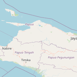
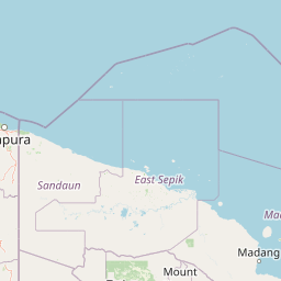
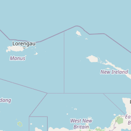
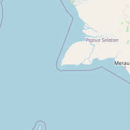
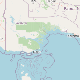
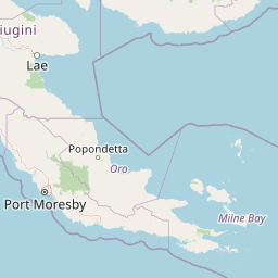

Map centered on the epicenter (-7.12, 146.17). Map data © OpenStreetMap contributors.
Sky & Solar Conditions at the Time
Moon: Last Quarter (66% illuminated), in Taurus.
Notable planetary angles: Jupiter trine Saturn (120°), Mars square Saturn (91°), Mercury sextile Mars (62°).
Concurrent space weather: planetary Kp index 1.3; strongest recent solar flare: nothing notable.
This is a factual snapshot, not a claim of cause and effect – researchers are divided on whether lunar, planetary or solar factors influence seismic or weather activity. It’s included so readers can track the pattern for themselves over time.
Earthquakes Within ~400 km, Past 30 Days
For context, here is other recent seismic activity in the surrounding region (M2.5+, via USGS):
| Date & Time (UTC) | Magnitude | Location |
|---|---|---|
| 2026-08-23 10:44 UTC | M4.3 | 60 km NNW of Lae, Papua New Guinea |
| 2026-08-19 00:56 UTC | M4.5 | 96 km NNW of Kandrian, Papua New Guinea |
| 2026-08-17 11:00 UTC | M5.1 | 28 km SW of Kandrian, Papua New Guinea |
| 2026-08-16 10:59 UTC | M5.5 | 116 km ESE of Madang, Papua New Guinea |
| 2026-08-16 08:06 UTC | M4.7 | 73 km ESE of Madang, Papua New Guinea |
| 2026-08-16 05:59 UTC | M4.2 | 54 km NW of Lae, Papua New Guinea |
| 2026-08-15 11:10 UTC | M5.3 | 47 km S of Angoram, Papua New Guinea |
| 2026-08-13 12:44 UTC | M5.0 | 45 km SSW of Angoram, Papua New Guinea |
| 2026-08-11 17:06 UTC | M5.0 | 103 km WNW of Kerema, Papua New Guinea |
| 2026-08-10 23:14 UTC | M4.2 | 93 km NNE of Finschhafen, Papua New Guinea |
| 2026-08-08 15:29 UTC | M4.0 | 67 km ESE of Madang, Papua New Guinea |
| 2026-08-08 14:15 UTC | M4.0 | 83 km ESE of Madang, Papua New Guinea |
| 2026-08-05 19:51 UTC | M4.5 | 13 km SE of Ialibu, Papua New Guinea |
| 2026-08-05 19:46 UTC | M5.2 | 29 km S of Ialibu, Papua New Guinea |
Emergency number for Papua New Guinea: 112 (General guidance – always verify locally, as this can vary by region.)