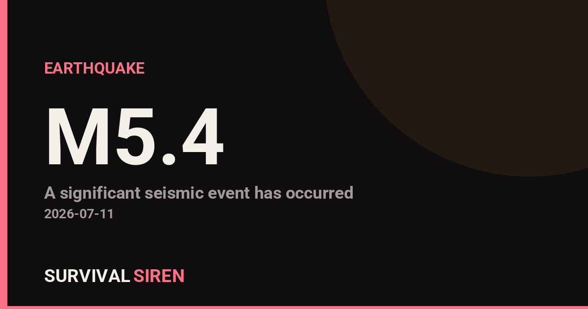
A magnitude 5.4 earthquake occurred approximately 41 kilometers south of Sarangani, Philippines, at a depth of roughly 57 kilometers, according to the U.S. Geological Survey (USGS). The moderate-strength quake struck in an active seismic zone and was felt across the surrounding region.
What You Might Notice
Residents within 50-100 km of the epicenter likely experienced noticeable shaking lasting 10-20 seconds. A magnitude 5.4 typically causes minor to moderate damage to poorly constructed buildings and can knock items off shelves. Most modern, well-built structures in the area should withstand this level of shaking without major structural damage.
Who Is Affected: Communities in Mindanao, particularly around Sarangani Province and neighboring regions, are in the primary impact zone. The Philippines sits on the Pacific Ring of Fire, making earthquakes a regular occurrence in this region.
Practical Watch Items:
1. Monitor official updates: Check USGS earthquake hazards and Philippine Institute of Volcanology and Seismology (PHIVOLCS) websites for aftershock activity. Magnitude 5+ earthquakes sometimes trigger smaller aftershocks over the following hours or days.
2. Assess local infrastructure: If you live in the affected region, inspect your home, workplace, and school for any new cracks, shifted items, or damage. Document with photos for insurance purposes if needed.
3. Review your earthquake kit: This is a good reminder to check that emergency supplies—water, first aid, flashlights, and a battery-powered radio—are accessible and current. Ensure family members know your communication plan.
Earthquakes of this magnitude are manageable with basic preparedness. Stay informed through official channels, and use this event as an opportunity to strengthen your household readiness plan.
For ongoing earthquake monitoring and seismic activity data, visit NOAA’s space weather dashboard at https://survivalsiren.com/spaceweather/feed.html
Source: USGS
Related Reading
Sky Conditions at the Time
Moon: Waning Crescent (12% illuminated), in Gemini.
Notable planetary angles: Moon conjunct Mars (1°), Sun conjunct Mercury (3°).
This is a factual snapshot, not a claim of cause and effect – researchers are divided on whether lunar, planetary or solar factors influence seismic or weather activity. It’s included so readers can track the pattern for themselves over time.
Earthquakes Within ~400 km, Past 30 Days
For context, here is other recent seismic activity in the surrounding region (M2.5+, via USGS):
| Date & Time (UTC) | Magnitude | Location |
|---|---|---|
| 2026-07-18 02:23 UTC | M5.3 | 119 km SW of Sarangani, Philippines |
| 2026-07-17 16:12 UTC | M5.2 | 11 km SE of Kiupo, Philippines |
| 2026-07-16 05:55 UTC | M4.7 | 86 km SSW of Sarangani, Philippines |
| 2026-07-14 15:49 UTC | M6.2 | 32 km WSW of Sarangani, Philippines |
| 2026-07-14 13:15 UTC | M5.2 | 6 km NW of Nuing, Philippines |
| 2026-07-14 06:37 UTC | M4.4 | 191 km N of Tobelo, Indonesia |
| 2026-07-14 01:38 UTC | M4.6 | 34 km SE of Sarangani, Philippines |
| 2026-07-13 17:44 UTC | M5.0 | 5 km SE of Butulan, Philippines |
| 2026-07-12 22:10 UTC | M4.4 | 167 km SSE of Sarangani, Philippines |
| 2026-07-12 00:43 UTC | M4.9 | 241 km NNW of Tobelo, Indonesia |
| 2026-07-11 17:49 UTC | M5.2 | 56 km SSW of Sarangani, Philippines |
| 2026-07-11 00:47 UTC | M4.7 | 1 km SE of Batiano, Philippines |
| 2026-07-10 15:25 UTC | M4.4 | 1 km E of Caraga, Philippines |
| 2026-07-10 12:42 UTC | M4.5 | 7 km SE of Sarangani, Philippines |
| 2026-07-09 21:55 UTC | M4.5 | 145 km NNW of Ternate, Indonesia |
| 2026-07-09 17:50 UTC | M4.5 | 59 km WSW of Balangonan, Philippines |
| 2026-07-09 16:36 UTC | M4.6 | 43 km SSW of Sarangani, Philippines |
| 2026-07-08 13:35 UTC | M4.3 | 85 km SW of Balangonan, Philippines |
| 2026-07-08 04:36 UTC | M4.3 | 43 km SW of Balangonan, Philippines |
| 2026-07-07 14:21 UTC | M4.5 | 172 km NNW of Tobelo, Indonesia |
Emergency number for Philippines: 911 (General guidance – always verify locally, as this can vary by region.)