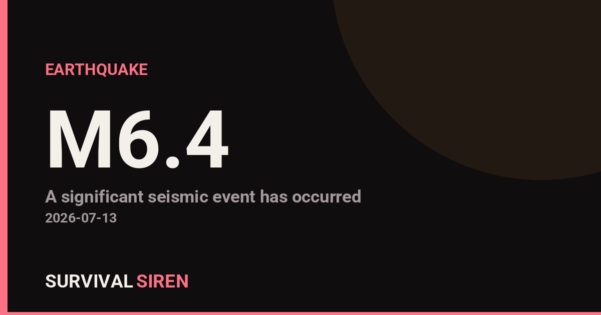
A magnitude 6.4 earthquake occurred approximately 191 kilometers southeast of Lorengau, Papua New Guinea, at a shallow depth of about 10 kilometers, according to the U.S. Geological Survey (USGS). Earthquakes at this magnitude and depth can cause significant damage to buildings and infrastructure in nearby areas.
What You Might Notice
People within 50–100 km of the epicenter likely experienced strong shaking lasting several seconds. Vulnerable structures—older buildings, unreinforced concrete, and poorly constructed homes—are at highest risk for damage. Those farther away may have felt moderate to light shaking. Aftershocks are common following earthquakes of this size and may continue for hours or days.
Who Is Affected
The primary impact zone includes communities in Manus Province, Papua New Guinea. Lorengau, the provincial capital, is about 191 km away from the epicenter. International aid organizations and local authorities typically assess damage and coordinate relief efforts in the hours following a significant quake. If you have family or contacts in the region, check in via text or messaging apps, which often work when voice networks are congested.
What to Watch For
1. Aftershock Reports: Monitor official USGS earthquake updates for magnitude 4.0+ aftershocks, which can cause additional damage or trigger landslides in mountainous terrain.
2. Local Infrastructure Status: Roads, power, and water systems may be disrupted. Regional news sources typically provide the most current information on access and services.
3. Preparedness Reminder: If you live in a seismically active region, now is a good time to secure heavy furniture, practice your earthquake response plan (drop, cover, hold on), and ensure your emergency kit is stocked with water, food, and first aid supplies.
For real-time earthquake data and space weather monitoring, visit the NOAA space weather dashboard at https://survivalsiren.com/spaceweather/feed.html.
Source: USGS
Related Reading
Sky Conditions at the Time
Moon: New Moon (2% illuminated), in Cancer.
Notable planetary angles: Sun conjunct Mercury (1°), Moon sextile Venus (57°).
This is a factual snapshot, not a claim of cause and effect – researchers are divided on whether lunar, planetary or solar factors influence seismic or weather activity. It’s included so readers can track the pattern for themselves over time.
Earthquakes Within ~400 km, Past 30 Days
For context, here is other recent seismic activity in the surrounding region (M2.5+, via USGS):
| Date & Time (UTC) | Magnitude | Location |
|---|---|---|
| 2026-07-05 06:58 UTC | M4.1 | 127 km NW of Kimbe, Papua New Guinea |
| 2026-07-05 05:37 UTC | M4.5 | 140 km NE of Angoram, Papua New Guinea |
| 2026-07-04 07:50 UTC | M5.1 | 135 km N of Lae, Papua New Guinea |
| 2026-07-01 21:48 UTC | M4.1 | 136 km NNW of Finschhafen, Papua New Guinea |
| 2026-06-30 14:41 UTC | M5.4 | 90 km ESE of Kimbe, Papua New Guinea |
| 2026-06-28 18:45 UTC | M4.7 | 40 km SW of Kandrian, Papua New Guinea |
| 2026-06-28 02:59 UTC | M5.1 | 21 km NW of Finschhafen, Papua New Guinea |
| 2026-06-27 11:58 UTC | M4.5 | 62 km SW of Kandrian, Papua New Guinea |
| 2026-06-26 12:55 UTC | M4.3 | 40 km SE of Madang, Papua New Guinea |
| 2026-06-23 19:27 UTC | M4.5 | 51 km WSW of Kandrian, Papua New Guinea |
| 2026-06-22 10:58 UTC | M4.6 | 64 km E of Kimbe, Papua New Guinea |
Emergency number for Papua New Guinea: 112 (General guidance – always verify locally, as this can vary by region.)