A powerful tropical cyclone named SIMON-26 has been active in the eastern Pacific and is impacting Mexico, according to a Red-level alert issued by GDACS, the EU’s Global Disaster Alert and Coordination System. The storm, active on October 7, 2026, has packed maximum sustained winds of 185 km/h (about 115 mph) — strong enough to cause major damage to buildings, down trees and power lines, and create dangerous storm surge along the coast.
GDACS estimates that roughly 1.056 million people in Mexico are in areas experiencing Category 1 hurricane-force winds (120 km/h or higher). Red is the system’s highest alert level, meaning significant humanitarian impact is possible and international assistance may be needed.
Residents in affected areas can expect destructive winds, torrential rainfall, flash flooding, and possible landslides in mountainous terrain near the coast. Coastal communities face the added risk of storm surge — a rapid rise in sea water pushed ashore by the storm. Power outages, road closures, and disruptions to airports and shipping are likely in and around the impact zone.
What to watch and do
Follow local evacuation orders. If authorities in your state or municipality tell you to leave, do so early — roads can flood quickly once heavy rain begins.
Prepare for extended outages. Charge phones and power banks now, fill containers with drinking water, and keep flashlights and batteries handy. Winds of this strength often knock out power for days.
Avoid floodwater. Just 30 cm (about a foot) of moving water can sweep away a car. Do not drive or walk through flooded roads, and stay clear of rivers and drainage channels during and after the storm.
Even after SIMON-26’s winds ease, flooding and mudslides can continue for 24 to 48 hours as rain drains from higher ground. This alert is based on data from GDACS, the EU Joint Research Centre’s Global Disaster Alert and Coordination System, which tracks tropical cyclones worldwide using forecast and impact modeling.
Frequently Asked Questions
How strong is SIMON-26?
The storm has maximum sustained winds of 185 km/h (about 115 mph), which is major hurricane-strength territory — well above the 120 km/h Category 1 threshold. Winds at this level can cause severe structural damage and widespread power outages.
How many people are affected in Mexico?
GDACS estimates about 1.056 million people are in areas experiencing Category 1-force winds or stronger. Mexico's vulnerability for this event is rated Medium, meaning infrastructure and emergency services are strained but not completely overwhelmed.
What should I do if I'm in the affected area?
Follow instructions from local civil protection authorities, evacuate if ordered, and shelter away from windows in a sturdy interior room. Charge devices, secure drinking water, and stay off the roads until officials say conditions are safe.
Is the danger over once the wind stops?
Not necessarily — heavy rain from tropical cyclones often triggers flash floods and landslides for one to two days afterward, especially in hilly or mountainous areas. Continue avoiding rivers, drainage channels, and flooded roads even after skies clear.
Keep tracking this:
Source: GDACS (EU Joint Research Centre)
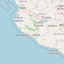
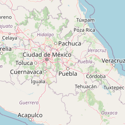





Map centered on the epicenter (15.50, -101.60). Map data © OpenStreetMap contributors.
Sky & Solar Conditions at the Time
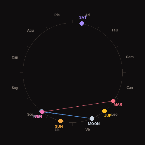
Moon: Waning Crescent (10% illuminated), in Virgo.
Notable planetary angles: Moon sextile Venus (61°), Mercury conjunct Venus (1°), Moon sextile Mercury (61°), Venus square Mars (93°).
Concurrent space weather: planetary Kp index 2.7; strongest recent solar flare: nothing notable.
This is a factual snapshot, not a claim of cause and effect – researchers are divided on whether lunar, planetary or solar factors influence seismic or weather activity. It’s included so readers can track the pattern for themselves over time.