A powerful tropical cyclone is bearing down on Guam this week. Tropical Cyclone Champi-26, active in the northwest Pacific from October 14 to 16, 2026, is packing maximum sustained winds of up to 241 km/h (about 150 mph) – well into the range of a major typhoon, even though it is officially classified as a tropical storm in the alert data.
The Global Disaster Alert and Coordination System (GDACS), run by the EU Joint Research Centre, has issued its highest-level Red alert for this storm. GDACS estimates roughly 175,000 people could experience winds of at least 120 km/h (75 mph) – equivalent to Category 1 hurricane strength or higher – and rates Guam’s vulnerability as Medium.
What Guam residents can expect
Winds of this strength can down trees and power lines, damage roofs and poorly built structures, and make roads impassable with debris. Extended power and water outages are common after storms of this size on the island. Heavy rain also raises the risk of flash flooding and mudslides, and dangerous storm surge and high surf are likely along exposed coastlines.
If you are on Guam, take these steps now: secure or bring inside anything that could become wind-borne debris, stock at least several days of water and nonperishable food, charge phones and power banks, fill your vehicle’s fuel tank, and know your nearest concrete shelter. Follow all instructions from local emergency management and the National Weather Service office in Guam, and stay off the roads and away from the coast once conditions deteriorate. Avoid downed power lines after the storm passes.
Residents should expect conditions to worsen as the storm’s core approaches and improve gradually once it moves away from the island. Even after the strongest winds pass, flooding and outages may persist for days.
Data for this alert comes from the GDACS system and the National Weather Service.
Frequently Asked Questions
Is this a typhoon or a tropical storm?
The alert officially labels Champi-26 a tropical storm, but its reported peak winds of 241 km/h far exceed typhoon thresholds (119 km/h). In practice, Guam should prepare for major-typhoon-strength conditions.
When will the worst of the storm hit Guam?
The cyclone is active from October 14 to 16, 2026. The most dangerous winds typically occur as the storm's core passes closest to the island – monitor National Weather Service Guam updates for exact timing.
Should I evacuate?
Follow guidance from Guam's emergency management officials. If you live in a coastal or flood-prone area or in a light or non-concrete structure, moving to a designated storm shelter is strongly advisable with winds of this magnitude.
How long could power and water be out?
Storms of this strength commonly cause outages lasting days to weeks on Guam. Plan for at least 3-7 days of self-sufficiency with water, food, medications, and backup power for essential devices.
Keep tracking this:
Source: GDACS (EU Joint Research Centre)
Related Reading






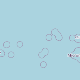
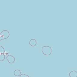
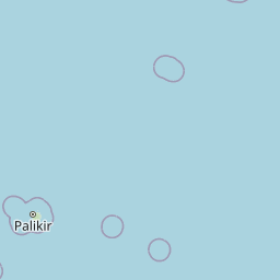
Map centered on the epicenter (11.30, 154.00). Map data © OpenStreetMap contributors.
Sky & Solar Conditions at the Time
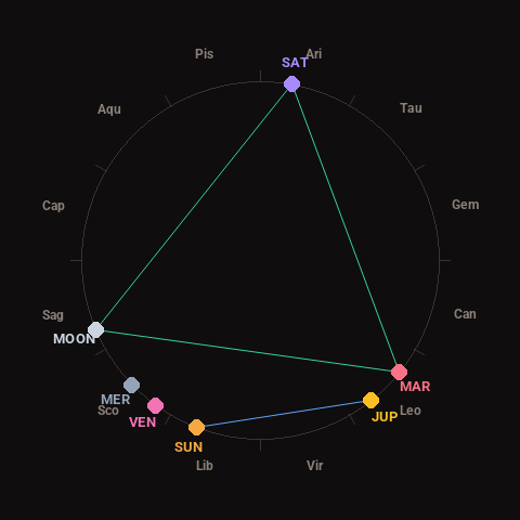
Moon: Waxing Crescent (15% illuminated), in Sagittarius.
Notable planetary angles: Sun sextile Jupiter (59°), Mars trine Saturn (119°), Moon trine Mars (118°), Moon trine Saturn (123°).
Concurrent space weather: planetary Kp index 2.3; strongest recent solar flare: nothing notable.
This is a factual snapshot, not a claim of cause and effect – researchers are divided on whether lunar, planetary or solar factors influence seismic or weather activity. It’s included so readers can track the pattern for themselves over time.