
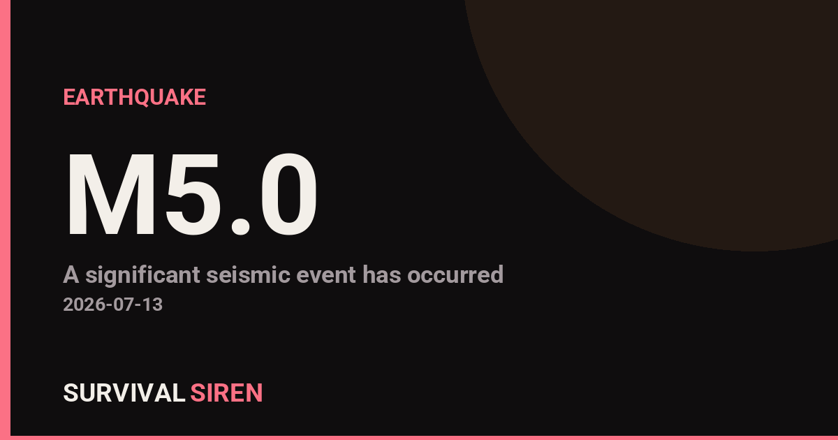
A moderate earthquake with a magnitude of 5.0 struck southeast of the Loyalty Islands today at a shallow depth of approximately 10 kilometers (6 miles), according to the U.S. Geological Survey.
At this magnitude and depth, the shaking would have been felt across the surrounding region, particularly in nearby island communities. Magnitude 5.0 earthquakes are considered moderate and typically cause minor to light damage in populated areas, though most modern structures are built to withstand them.
What This Means
The Loyalty Islands, located east of Vanuatu in the South Pacific, sit in an active seismic zone. Earthquakes in this region are not unusual. Based on current data, there is no significant tsunami risk from this event, though local authorities may issue precautionary statements as part of standard protocol.
Residents and visitors in the immediate area may have experienced noticeable shaking, swaying of structures, or minor items shifting. Aftershocks are possible but typically decrease in frequency and magnitude over time.
What to Monitor
1. Official Updates: Check official sources like USGS, local Pacific island governments, or your national emergency management agency for any revised assessments or tsunami advisories.
2. Aftershock Activity: The region may experience smaller follow-up earthquakes over the next hours or days. Keep emergency supplies accessible if you live in a seismic zone.
3. Building Safety: If you’re in the affected region, inspect your home or workplace for any visible damage, especially cracks in walls or displacement of fixtures. Document any damage for insurance purposes.
For those in earthquake-prone areas, this is a good reminder to review your emergency kit, identify safe spots in your home, and ensure family members know your communication plan.
Live space weather and seismic data is tracked through NOAA and USGS monitoring stations. Visit our live dashboard for continuous updates.
Source: USGS
Related Reading
Sky Conditions at the Time
Moon: New Moon (2% illuminated), in Cancer.
Notable planetary angles: Sun conjunct Mercury (0°), Moon sextile Venus (58°).
This is a factual snapshot, not a claim of cause and effect – researchers are divided on whether lunar, planetary or solar factors influence seismic or weather activity. It’s included so readers can track the pattern for themselves over time.
Earthquakes Within ~400 km, Past 30 Days
For context, here is other recent seismic activity in the surrounding region (M2.5+, via USGS):
| Date & Time (UTC) | Magnitude | Location |
|---|---|---|
| 2026-07-14 01:27 UTC | M4.9 | southeast of the Loyalty Islands |
| 2026-07-13 21:03 UTC | M5.0 | southeast of the Loyalty Islands |
| 2026-07-13 19:48 UTC | M4.8 | southeast of the Loyalty Islands |
| 2026-07-13 17:24 UTC | M4.5 | southeast of the Loyalty Islands |
| 2026-07-13 17:20 UTC | M4.7 | southeast of the Loyalty Islands |
| 2026-07-13 17:15 UTC | M4.5 | southeast of the Loyalty Islands |
| 2026-07-13 16:31 UTC | M5.1 | southeast of the Loyalty Islands |
| 2026-07-13 15:24 UTC | M4.4 | southeast of the Loyalty Islands |
| 2026-07-13 15:14 UTC | M4.7 | southeast of the Loyalty Islands |
| 2026-07-13 15:04 UTC | M4.6 | southeast of the Loyalty Islands |
| 2026-07-13 14:45 UTC | M6.3 | southeast of the Loyalty Islands |
| 2026-07-13 06:45 UTC | M5.0 | southeast of the Loyalty Islands |
| 2026-07-10 13:55 UTC | M4.5 | 115 km SSW of Isangel, Vanuatu |
| 2026-07-10 02:41 UTC | M4.7 | 256 km E of Tadine, New Caledonia |
| 2026-07-10 02:34 UTC | M4.5 | 241 km ESE of Tadine, New Caledonia |
| 2026-07-09 16:01 UTC | M4.6 | 128 km SW of Isangel, Vanuatu |
| 2026-07-09 14:40 UTC | M4.6 | 112 km SSW of Isangel, Vanuatu |
| 2026-07-08 14:36 UTC | M4.2 | 97 km SSW of Isangel, Vanuatu |
| 2026-07-08 09:50 UTC | M5.8 | 91 km SSW of Isangel, Vanuatu |
| 2026-07-06 20:56 UTC | M4.5 | 101 km SSW of Isangel, Vanuatu |