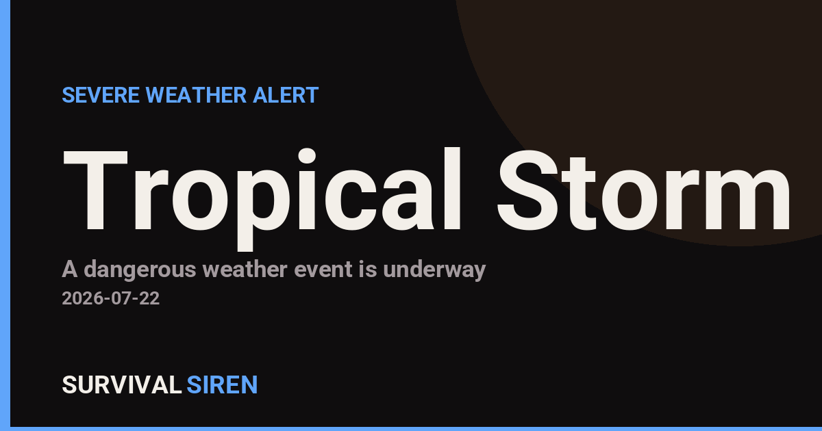
The National Weather Service in Tallahassee issued a Tropical Storm Warning on July 21 at 11:20 PM EDT covering 59 coastal and waterway areas across the northern Gulf of Mexico. The warning spans from the Okaloosa-Walton County line in Florida westward to Mobile Bay in Alabama, including bays, sounds, and offshore waters extending up to 60 nautical miles from shore.
What This Means
A Tropical Storm Warning indicates that tropical storm conditions—including sustained winds of 39–73 mph and heavy rainfall—are expected within the warning area within the next 36 hours. Residents and mariners in coastal Alabama, the Florida Panhandle, and southern Mississippi should prepare for gusty winds, rough seas, and potential localized flooding.
Who Is Affected
The warning directly impacts boaters and commercial maritime traffic in the Gulf. Coastal residents in the warning zone should monitor conditions closely. Inland areas north of the warning zone may still experience rain and gusty winds as the system moves through, though impacts will be less severe.
Practical Preparedness Steps
For Boaters: Secure vessels, review mooring plans, and consider moving boats to protected harbors if time permits. Avoid venturing into warned waters during the event.
For Coastal Residents: Stock essential supplies including water, non-perishable food, flashlights, and medications. Have a plan to secure outdoor furniture and loose items that could become hazards in strong wind.
For Everyone in the Region: Monitor the National Weather Service for updated forecasts and any upgraded warnings. Tropical systems can intensify or shift track; staying informed is your best defense.
For live updates and detailed maritime forecasts, visit the National Weather Service and check NOAA’s space weather and severe weather dashboard at https://survivalsiren.com/spaceweather/feed.html.
Source: National Weather Service (NWS)
Related Reading
Sky & Solar Conditions at the Time
Moon: First Quarter (57% illuminated), in Scorpio.
Notable planetary angles: Mars sextile Saturn (62°), Mercury square Saturn (92°), Moon square Jupiter (92°), Venus square Mars (87°).
Concurrent space weather: planetary Kp index 3.3; strongest recent solar flare: M3.5-class.
This is a factual snapshot, not a claim of cause and effect – researchers are divided on whether lunar, planetary or solar factors influence seismic or weather activity. It’s included so readers can track the pattern for themselves over time.