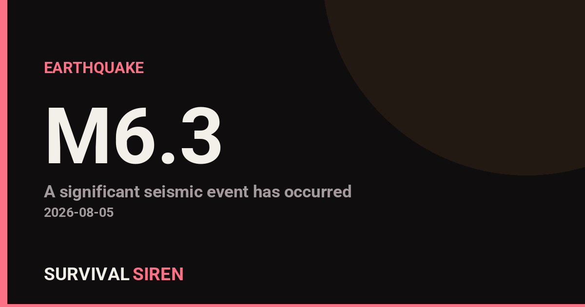
A magnitude 6.3 earthquake occurred south of the Kermadec Islands at a depth of approximately 226 kilometers (140 miles), according to the USGS. The deep epicenter means shaking effects will be limited compared to shallower earthquakes of similar strength.
What This Means Locally and Beyond
The Kermadec Islands, located northeast of New Zealand, are sparsely populated. This particular earthquake’s depth of 226 km substantially reduces ground shaking intensity at the surface. Residents in nearby New Zealand may have felt mild to moderate tremors, but significant damage to infrastructure is unlikely given the depth and remote location. No tsunami warning has been issued.
The broader Pacific region—including Australia, Fiji, and other Pacific nations—may have experienced very light shaking or none at all. Magnitude 6.3 events occur roughly once per month worldwide, making this a fairly routine seismic event.
What You Might Notice
If you’re in New Zealand or the southwestern Pacific, you may have experienced gentle swaying that lasted 10–20 seconds. Deep earthquakes typically produce less violent shaking than shallow ones, even at the same magnitude.
Practical Preparedness Reminders
1. Keep emergency supplies accessible: Regardless of earthquake frequency in your area, maintain a basic kit with water, first aid supplies, flashlights, and a battery-powered radio. This readiness applies to all hazards, not just seismic events.
2. Know your building’s earthquake safety: If you live in a seismically active region, understand whether your home or workplace meets modern building codes. Older structures are more vulnerable to damage.
3. Have a communication plan: Establish how your household will reconnect after a major event, especially if phone networks become congested.
For real-time space weather and seismic monitoring, visit the live dashboard at https://survivalsiren.com/spaceweather/feed.html, powered by NOAA and USGS data.
Source: USGS
Related Reading
- Earthquake Survival: Precautions, Kit & Early Warning in 2026
- Analyzing Low-Radiation Nuclear Explosions: Tactical Assessments and Survival Strategies
Sky & Solar Conditions at the Time
Moon: Last Quarter (58% illuminated), in Taurus.
Notable planetary angles: Sun trine Saturn (118°), Venus square Mars (93°).
Concurrent space weather: planetary Kp index 0.7; strongest recent solar flare: nothing notable.
This is a factual snapshot, not a claim of cause and effect – researchers are divided on whether lunar, planetary or solar factors influence seismic or weather activity. It’s included so readers can track the pattern for themselves over time.
Earthquakes Within ~400 km, Past 30 Days
For context, here is other recent seismic activity in the surrounding region (M2.5+, via USGS):
| Date & Time (UTC) | Magnitude | Location |
|---|---|---|
| 2026-07-30 17:48 UTC | M5.2 | Kermadec Islands region |
| 2026-07-22 18:29 UTC | M4.8 | Kermadec Islands region |
| 2026-07-20 20:44 UTC | M5.0 | south of the Kermadec Islands |
| 2026-07-20 12:15 UTC | M4.1 | 79 km N of Hicks Bay, New Zealand |
| 2026-07-19 20:23 UTC | M4.5 | south of the Kermadec Islands |
| 2026-07-18 05:46 UTC | M5.2 | south of the Kermadec Islands |
| 2026-07-17 13:17 UTC | M5.0 | south of the Kermadec Islands |
| 2026-07-16 18:22 UTC | M4.4 | Kermadec Islands region |
| 2026-07-16 08:57 UTC | M5.0 | 141 km ENE of Hicks Bay, New Zealand |
| 2026-07-13 00:08 UTC | M4.5 | Kermadec Islands region |
| 2026-07-09 19:17 UTC | M4.4 | south of the Kermadec Islands |
| 2026-07-09 15:09 UTC | M4.0 | Kermadec Islands region |
| 2026-07-06 22:14 UTC | M4.7 | south of the Kermadec Islands |
| 2026-07-06 19:10 UTC | M4.6 | south of the Kermadec Islands |