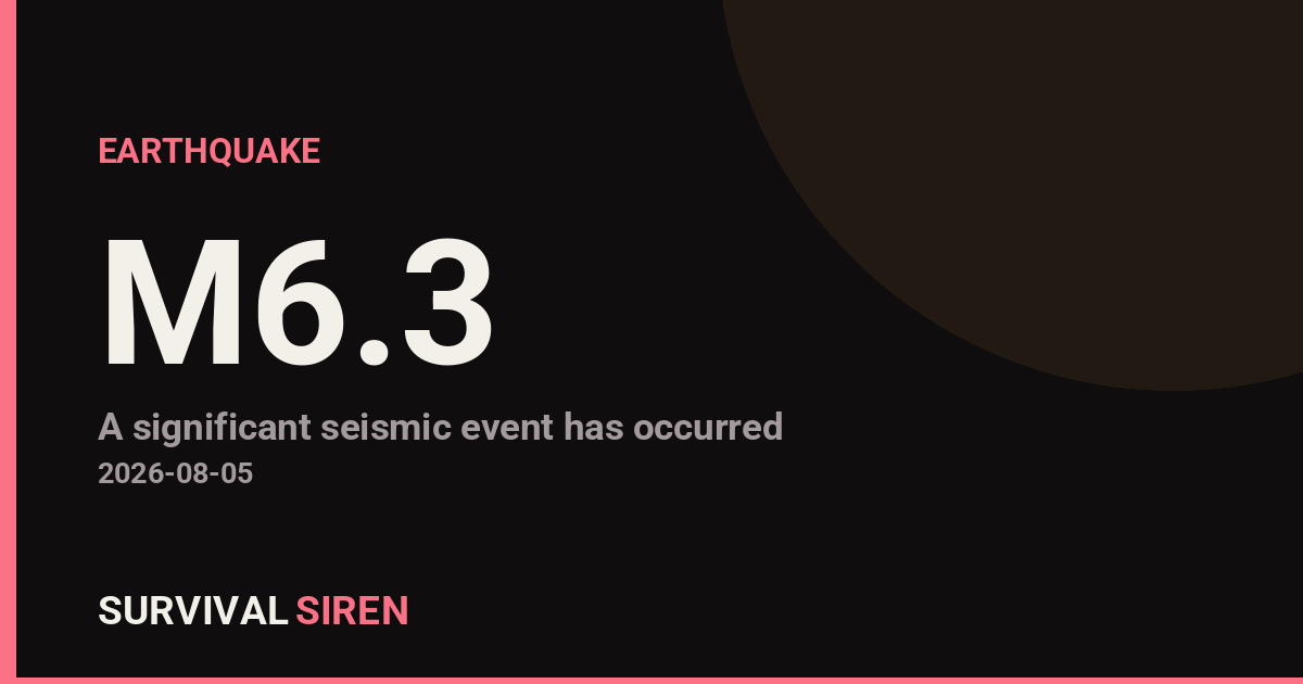
A magnitude 6.3 earthquake occurred approximately 32 kilometers southwest of Sarangani, Philippines, at a depth of roughly 10 kilometers, according to the U.S. Geological Survey. This moderate-to-strong earthquake struck in a region with active seismic activity in the western Pacific.
What This Means Locally
Residents within 50-100 kilometers of the epicenter likely felt noticeable shaking. Earthquakes at this magnitude can damage older buildings, crack concrete structures, and cause minor rockslides in steep terrain. The 10-kilometer depth means energy was released relatively close to the surface, potentially increasing impacts in nearby communities.
Who Is Affected
Communities in Sarangani Province and neighboring areas of Mindanao are the primary concern. Coastal regions should monitor for minor sea-level changes, though a tsunami threat is typically low for earthquakes of this size in this location. Utility services may experience brief disruptions.
What to Watch
1. Aftershock activity: Magnitude 6.3 earthquakes often trigger smaller aftershocks over the following hours and days. Residents should remain alert for continued ground movement and ensure loose items are secured.
2. Structural assessments: If you live in the affected region, check buildings for new cracks or damage, especially in older concrete or unreinforced structures. Document any changes for insurance purposes.
3. Emergency preparedness refresher: Use this event as a reminder to review your earthquake kit: water (1 gallon per person daily), non-perishable food, first aid supplies, flashlights, and a battery-powered radio. Know your safe spots—sturdy tables or interior walls away from windows.
For real-time seismic data and ongoing monitoring, visit NOAA’s official space weather and geological alert dashboard at https://survivalsiren.com/spaceweather/feed.html.
Source: USGS
Related Reading
- Earthquake Survival: Precautions, Kit & Early Warning in 2026
- Analyzing Low-Radiation Nuclear Explosions: Tactical Assessments and Survival Strategies
Sky & Solar Conditions at the Time
Moon: Last Quarter (60% illuminated), in Taurus.
Notable planetary angles: Sun trine Saturn (118°), Venus square Mars (92°).
Concurrent space weather: planetary Kp index 0.7; strongest recent solar flare: nothing notable.
This is a factual snapshot, not a claim of cause and effect – researchers are divided on whether lunar, planetary or solar factors influence seismic or weather activity. It’s included so readers can track the pattern for themselves over time.
Earthquakes Within ~400 km, Past 30 Days
For context, here is other recent seismic activity in the surrounding region (M2.5+, via USGS):
| Date & Time (UTC) | Magnitude | Location |
|---|---|---|
| 2026-08-02 22:48 UTC | M4.5 | 6 km W of Sarangani, Philippines |
| 2026-08-02 16:27 UTC | M4.7 | 170 km SE of Sarangani, Philippines |
| 2026-08-01 03:42 UTC | M4.6 | 25 km S of Daliao, Philippines |
| 2026-07-31 21:23 UTC | M4.4 | 105 km ESE of Sarangani, Philippines |
| 2026-07-29 13:23 UTC | M5.0 | 48 km SW of Balangonan, Philippines |
| 2026-07-29 13:16 UTC | M5.0 | 4 km NNE of Balangonan, Philippines |
| 2026-07-27 23:06 UTC | M5.3 | 23 km E of Kinablangan, Philippines |
| 2026-07-25 06:46 UTC | M5.0 | 57 km S of Sarangani, Philippines |
| 2026-07-24 19:06 UTC | M4.9 | 55 km S of Sarangani, Philippines |
| 2026-07-22 09:47 UTC | M4.9 | 11 km NW of Sugal, Philippines |
| 2026-07-21 18:33 UTC | M5.1 | 7 km WNW of Kalbay, Philippines |
| 2026-07-19 08:19 UTC | M4.6 | 12 km SW of Balangonan, Philippines |
| 2026-07-19 05:14 UTC | M4.5 | 57 km SSW of Sarangani, Philippines |
| 2026-07-18 23:53 UTC | M4.4 | 79 km SSW of Katubao, Philippines |
| 2026-07-18 02:23 UTC | M5.3 | 119 km SW of Sarangani, Philippines |
| 2026-07-17 16:12 UTC | M5.3 | 6 km E of Pangyan, Philippines |
| 2026-07-16 16:46 UTC | M4.4 | 37 km SW of Balangonan, Philippines |
| 2026-07-16 05:55 UTC | M4.7 | 56 km SSW of Sarangani, Philippines |
| 2026-07-15 03:44 UTC | M4.5 | 32 km E of Santiago, Philippines |
| 2026-07-15 01:45 UTC | M4.5 | 68 km ESE of Caburan, Philippines |
Emergency number for Philippines: 911 (General guidance – always verify locally, as this can vary by region.)