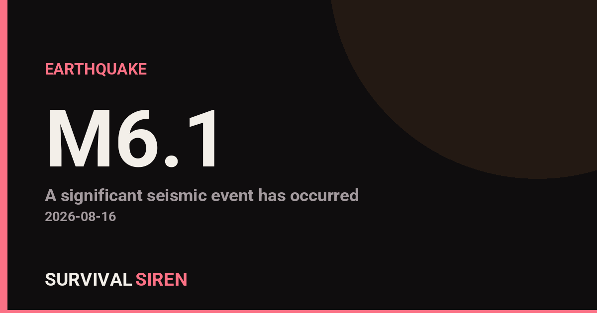
A magnitude 6.1 earthquake struck the South Pacific early today, centered 56 kilometers northeast of Port-Olry in Vanuatu at a depth of approximately 188 kilometers, according to the U.S. Geological Survey. While this is a significant seismic event, the depth and location mean impacts are likely to be localized rather than widespread.
What You Might Notice
Strong shaking would have been felt in communities nearest the epicenter, particularly in northern Vanuatu. Older or poorly constructed buildings in the immediate area could experience structural damage. The Pacific Tsunami Warning Center has not issued a tsunami warning for this event, which is typical for earthquakes at this depth occurring in stable oceanic crust.
Who Is Affected
The primary concern is for residents and infrastructure in Port-Olry and nearby settlements in Vanuatu’s northern region. Emergency services in the area may be assessing any damage. The broader South Pacific region is not considered at risk from this particular event.
What to Watch
1. Follow official channels: The USGS Earthquake Hazards Program and Vanuatu’s National Disaster Management Office will provide updates on damage assessments and aftershock activity over the coming hours.
2. Aftershock preparedness: Earthquakes of magnitude 6+ commonly produce aftershocks. Residents in affected areas should be prepared for continued ground movement and keep emergency supplies accessible.
3. Regional seismic patterns: Vanuatu sits on the Pacific Ring of Fire, an active seismic zone. Those living in or traveling to the region should maintain basic earthquake preparedness year-round, including knowing safe shelter locations and keeping emergency kits updated.
For real-time earthquake data and space weather monitoring, visit the live dashboard at https://survivalsiren.com/spaceweather/feed.html. Data sourced from NOAA and the USGS.
Source: USGS
Related Reading
- Earthquake Survival: Precautions, Kit & Early Warning in 2026
- Analyzing Low-Radiation Nuclear Explosions: Tactical Assessments and Survival Strategies
Sky & Solar Conditions at the Time
Moon: Waxing Crescent (14% illuminated), in Libra.
Notable planetary angles: Mercury conjunct Jupiter (1°), Venus sextile Jupiter (59°), Moon conjunct Venus (2°), Mercury sextile Venus (58°).
Concurrent space weather: planetary Kp index 1.3; strongest recent solar flare: nothing notable.
This is a factual snapshot, not a claim of cause and effect – researchers are divided on whether lunar, planetary or solar factors influence seismic or weather activity. It’s included so readers can track the pattern for themselves over time.
Earthquakes Within ~400 km, Past 30 Days
For context, here is other recent seismic activity in the surrounding region (M2.5+, via USGS):
| Date & Time (UTC) | Magnitude | Location |
|---|---|---|
| 2026-08-14 18:33 UTC | M4.5 | 165 km N of Sola, Vanuatu |
| 2026-08-10 12:46 UTC | M4.8 | 173 km ENE of Sola, Vanuatu |
| 2026-08-10 11:50 UTC | M4.7 | 180 km NE of Sola, Vanuatu |
| 2026-08-09 07:05 UTC | M4.4 | 71 km NNW of Sola, Vanuatu |
| 2026-07-27 20:10 UTC | M5.0 | 97 km SE of Sola, Vanuatu |
| 2026-07-24 23:44 UTC | M5.0 | 93 km NNW of Port-Olry, Vanuatu |
| 2026-07-24 22:39 UTC | M4.9 | 7 km S of Sola, Vanuatu |
| 2026-07-24 21:37 UTC | M6.0 | 55 km W of Sola, Vanuatu |
| 2026-07-24 21:19 UTC | M5.1 | 55 km WSW of Sola, Vanuatu |
| 2026-07-24 14:28 UTC | M4.7 | 55 km E of Luganville, Vanuatu |
| 2026-07-23 14:13 UTC | M4.6 | 153 km SSE of Lata, Solomon Islands |
| 2026-07-22 21:42 UTC | M4.9 | 97 km SSE of Sola, Vanuatu |
| 2026-07-20 12:53 UTC | M4.5 | 58 km NNE of Port-Olry, Vanuatu |
| 2026-07-20 12:44 UTC | M4.3 | 159 km SSW of Lata, Solomon Islands |
| 2026-07-20 05:20 UTC | M4.4 | 202 km SSW of Lata, Solomon Islands |
| 2026-07-19 10:28 UTC | M4.4 | 69 km ENE of Luganville, Vanuatu |
Emergency number for Vanuatu: 112 (General guidance – always verify locally, as this can vary by region.)