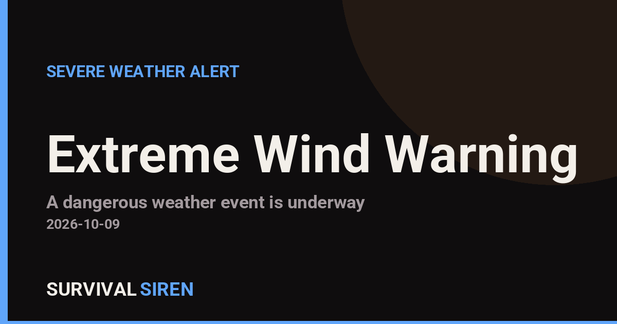
The National Weather Service office in Tallahassee, Florida, issued an Extreme Wind Warning at 5:46 PM CDT on October 9, remaining in effect until 8:45 PM CDT. The warning covers four counties in the western Florida Panhandle: Walton, Escambia, Okaloosa, and Santa Rosa.
An Extreme Wind Warning is one of the most serious wind alerts the NWS issues. It is reserved for situations where sustained surface winds of 115 mph or greater — typically associated with the eyewall of a major hurricane — are occurring or are expected within the hour. This is not a routine wind advisory; it signals conditions that can cause severe structural damage, downed trees and power lines, and life-threatening flying debris.
What residents in these areas may notice
People in the warned counties can expect violent, sustained winds, possible structural damage to homes, widespread power outages, blocked roads from fallen trees, and extremely dangerous conditions outside. Emergency services may not be able to respond during the height of the event.
Anyone in Walton, Escambia, Okaloosa, or Santa Rosa counties should treat this with the same seriousness as a tornado warning: move to an interior room on the lowest floor of a sturdy building, away from windows. Do not go outside until officials confirm it is safe, and be aware that a temporary lull may indicate the eye of the storm passing overhead — winds will return from the opposite direction.
Sensible steps right now: shelter in place in the strongest part of your home, keep a flashlight and charged phone within reach, monitor local NWS broadcasts or a NOAA weather radio, and stay off the roads entirely until the warning expires.
This alert is based on official warnings issued by the National Weather Service (NWS) office in Tallahassee, Florida.
Frequently Asked Questions
What should I do right now if I'm in one of these counties?
Get to an interior room on the lowest floor of a sturdy building, away from windows, and stay there until the warning expires at 8:45 PM CDT. Treat this like a tornado warning — these winds can destroy roofs and turn debris into projectiles.
How long will this last?
The warning is in effect until 8:45 PM CDT on October 9, roughly three hours from issuance. Conditions may remain hazardous after it expires due to downed power lines and debris, so stay cautious even once winds ease.
Why is this called an 'Extreme' Wind Warning?
This category is used only when sustained winds of 115 mph or more are occurring or imminent, usually from a major hurricane's eyewall. It is more severe than a standard high wind warning.
Should I evacuate now?
No — with extreme winds already arriving, it is too dangerous to be on the road. Shelter in the strongest part of your home and follow any instructions from local emergency officials.
Keep tracking this:
Source: National Weather Service (NWS)
Related Reading
- Emergency Communication: Staying Connected When Towers Go Down
- Earthquake Survival: Precautions, Kit & Early Warning in 2026
- Essential Guide to Preparing for a Nuclear War
Sky & Solar Conditions at the Time
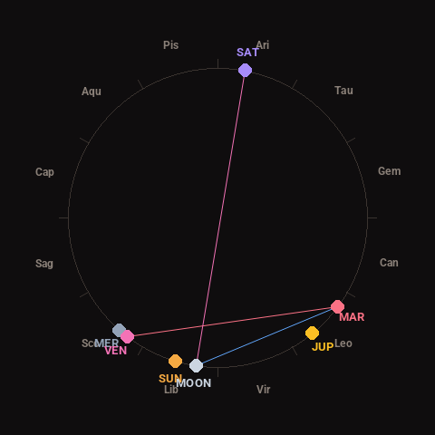
Moon: New Moon (1% illuminated), in Libra.
Notable planetary angles: Venus square Mars (91°), Moon sextile Mars (62°), Moon opposite Saturn (177°), Mercury conjunct Venus (4°).
Concurrent space weather: planetary Kp index 1.3; strongest recent solar flare: nothing notable.
This is a factual snapshot, not a claim of cause and effect – researchers are divided on whether lunar, planetary or solar factors influence seismic or weather activity. It’s included so readers can track the pattern for themselves over time.