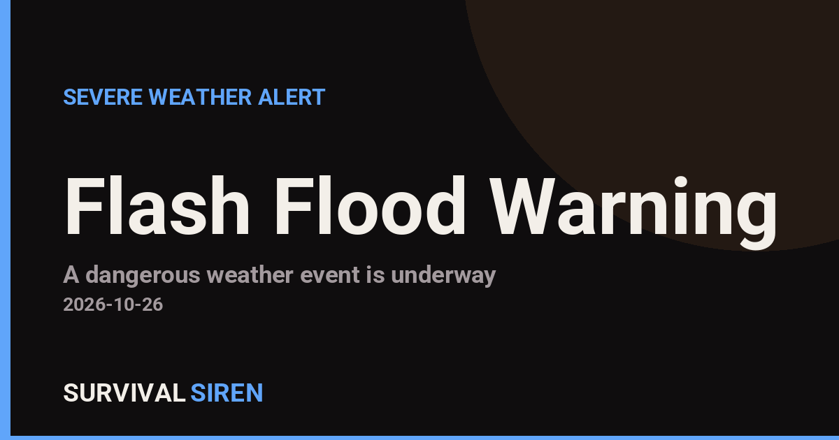
The National Weather Service office in El Paso, Texas / Santa Teresa, New Mexico issued a Flash Flood Warning for Otero County, New Mexico on Sunday, October 26, at 1:34 PM MDT. The warning remains in effect until 2:30 PM MDT, meaning a short but potentially dangerous window of rapid flooding is expected or already occurring in the warned area.
A Flash Flood Warning is more serious than a watch: it means flooding is imminent or happening now. In southern New Mexico, heavy rain over desert terrain can run off quickly, sending fast-moving water into normally dry washes, arroyos, and low-lying roads. Residents in Otero County may notice rapidly rising water in drainage channels, water covering roadways, or sudden changes in stream levels, even in areas where it is not currently raining. Storms upstream can send floodwater downhill with little warning.
Anyone in or traveling through Otero County during this warning window should take the following steps:
What to do right now
First, avoid driving through flooded roads. As little as six inches of moving water can knock a person down, and about a foot can carry away a vehicle. The rule is simple: turn around, don’t drown. Second, stay away from arroyos and low-water crossings, which can fill in minutes during monsoon-style downpours. Third, monitor local radio, NOAA Weather Radio, or phone alerts in case the warning is extended or expanded. If water begins rising around your home, move to higher ground immediately rather than waiting.
This warning is short-duration, ending at 2:30 PM MDT, but the National Weather Service can extend it if heavy rain continues. Remain alert even after the warning expires, as runoff can linger in low areas for hours.
This information comes from the National Weather Service office in El Paso, Texas / Santa Teresa, New Mexico, part of NOAA.
Frequently Asked Questions
Is the flooding happening right now?
A Flash Flood Warning means flooding is occurring or imminent in the warned area, so conditions in parts of Otero County should be treated as dangerous immediately.
How long will this last?
The warning is set to expire at 2:30 PM MDT on October 26, but the National Weather Service can extend it if heavy rain continues, so keep monitoring alerts.
Can I drive through water covering the road?
No. Around a foot of moving water can sweep away a vehicle, and the road underneath may be washed out. Turn around and find another route.
It isn't raining where I am. Am I still at risk?
Yes. Rain falling upstream in the mountains or nearby terrain can send floodwater down arroyos and washes into areas where skies are clear, often with little warning.
Keep tracking this:
Source: National Weather Service (NWS)
Related Reading
- Emergency Communication: Staying Connected When Towers Go Down
- Earthquake Survival: Precautions, Kit & Early Warning in 2026
- Essential Guide to Preparing for a Nuclear War
Sky & Solar Conditions at the Time

Moon: Full Moon (99% illuminated), in Taurus.
Notable planetary angles: Mercury square Jupiter (87°), Moon square Mars (94°).
Concurrent space weather: planetary Kp index 1.3; strongest recent solar flare: nothing notable.
This is a factual snapshot, not a claim of cause and effect – researchers are divided on whether lunar, planetary or solar factors influence seismic or weather activity. It’s included so readers can track the pattern for themselves over time.