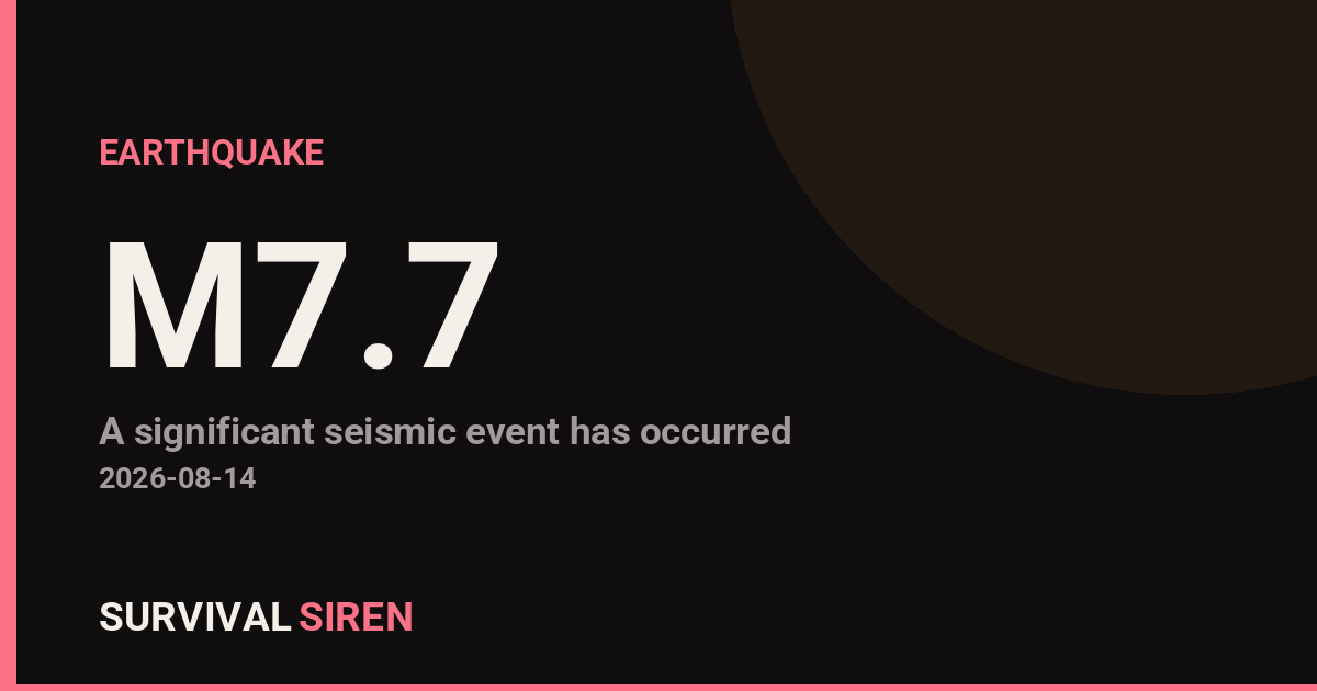
A magnitude 7.7 earthquake struck approximately 68 kilometers north-northwest of Ende, Indonesia at 10 km depth on Tuesday. The USGS confirmed the coordinates and strength of the quake, which is classified as a major earthquake capable of causing significant damage in nearby areas.
Because this earthquake occurred beneath the ocean near Indonesia’s volcanic arc, there is a reasonable possibility of tsunami generation. The Pacific Tsunami Warning Center has issued watches for the Indian Ocean region. Coastal communities in Indonesia, East Timor, and neighboring areas should expect official guidance from local authorities.
What You Might Notice
People within 100 km of the epicenter likely experienced strong to severe shaking. Those farther away may have felt moderate shaking. If you are in affected coastal areas, you may see ocean level changes, unusual currents, or official evacuation alerts on local channels or emergency apps.
Who Is Most Affected
The primary concern is Ende and surrounding towns in East Nusa Tenggara province, along with nearby islands. Coastal areas of Indonesia and neighboring nations are under tsunami watch. Most people reading this in North America, Europe, or other distant regions will not be directly impacted, though the earthquake will be monitored by seismic networks worldwide.
What to Watch For
1. Official tsunami alerts: Check your local emergency management website or official channels (not social media) for updates if you live in an ocean-adjacent area.
2. Aftershocks: Magnitude 7.7 earthquakes typically trigger aftershocks. Secondary quakes of magnitude 6.0 or higher are possible in the coming days.
3. Building safety: If you’re in the region, inspect buildings and infrastructure for damage before re-entering structures.
For real-time seismic data and official tsunami tracking, visit the live dashboard at https://survivalsiren.com/spaceweather/feed.html, which aggregates NOAA and USGS earthquake and space weather information.
Source: USGS
Related Reading
- Earthquake Survival: Precautions, Kit & Early Warning in 2026
- Analyzing Low-Radiation Nuclear Explosions: Tactical Assessments and Survival Strategies
Sky & Solar Conditions at the Time
Moon: Waxing Crescent (6% illuminated), in Virgo.
Notable planetary angles: Mercury conjunct Jupiter (1°), Mercury sextile Venus (59°), Venus sextile Jupiter (58°).
Concurrent space weather: planetary Kp index 2.0; strongest recent solar flare: nothing notable.
This is a factual snapshot, not a claim of cause and effect – researchers are divided on whether lunar, planetary or solar factors influence seismic or weather activity. It’s included so readers can track the pattern for themselves over time.
Earthquakes Within ~400 km, Past 30 Days
For context, here is other recent seismic activity in the surrounding region (M2.5+, via USGS):
| Date & Time (UTC) | Magnitude | Location |
|---|---|---|
| 2026-08-02 14:17 UTC | M4.6 | 65 km NW of Ende, Indonesia |
| 2026-07-26 10:57 UTC | M5.3 | 25 km NW of Kupang, Indonesia |
| 2026-07-22 19:37 UTC | M4.3 | 50 km NE of Pototano, Indonesia |
| 2026-07-21 11:47 UTC | M4.5 | 142 km NNE of Maumere, Indonesia |
| 2026-07-21 05:05 UTC | M4.4 | 36 km NW of Tambolaka, Indonesia |
| 2026-07-17 13:07 UTC | M4.4 | 100 km S of Tambolaka, Indonesia |
Emergency number for Indonesia: 112 (General guidance – always verify locally, as this can vary by region.)