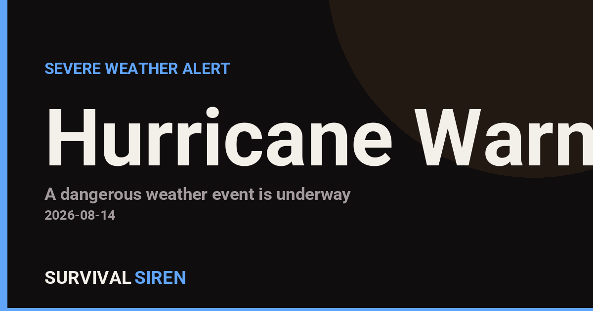
A Hurricane Warning has been issued for 12 areas across Hawaii’s Big Island, effective as of 10:38 AM HST on August 14. The warning covers the southeastern, eastern, southern, northern, and interior regions of the island, including Kohala, Kona, the Big Island Summit, and surrounding waters.
A Hurricane Warning means hurricane conditions are expected or occurring—not just possible. Residents and visitors in the affected zones should expect strong winds, heavy rainfall, and rough seas in the coming hours.
What You Might Notice
If you’re in a warned area, prepare for sustained winds of 74 mph or higher, isolated gusts potentially exceeding 150 mph in exposed locations. Heavy rain and flash flooding are likely, particularly on windward slopes. Ocean conditions will deteriorate rapidly, making boating and water activities extremely dangerous.
Who Is Affected: The warning directly impacts approximately 185,000 residents on the Big Island, plus any visitors currently in the affected zones. Even areas outside the warning should monitor updates closely, as storm tracks can shift.
Sensible Preparedness Steps
Secure your environment now: Bring in outdoor items, trim tree branches near structures, and ensure gutters are clear. Fill bathtubs and containers with water in case supply disruptions occur.
Stock essentials: Confirm you have at least three days of non-perishable food, drinking water (one gallon per person per day), medications, flashlights, batteries, and a battery-powered radio. Charge all devices and power banks immediately.
Know your evacuation plan: If authorities issue evacuation orders, leave early. Roads become congested and dangerous as the storm approaches. Have important documents in a waterproof container and a predetermined meeting spot for family members.
Stay tuned to the National Weather Service Honolulu office and local emergency management for updated warnings and all-clear notices. Real-time space weather and hazard tracking is available at our live dashboard.
Data sourced from NOAA. Track live conditions at https://survivalsiren.com/spaceweather/feed.html.
Source: National Weather Service (NWS)
Related Reading
- Emergency Communication: Staying Connected When Towers Go Down
- Earthquake Survival: Precautions, Kit & Early Warning in 2026
- Essential Guide to Preparing for a Nuclear War
Sky & Solar Conditions at the Time
Moon: Waxing Crescent (5% illuminated), in Virgo.
Notable planetary angles: Mercury sextile Venus (59°), Mercury conjunct Jupiter (1°), Venus sextile Jupiter (58°).
Concurrent space weather: planetary Kp index 2.0; strongest recent solar flare: nothing notable.
This is a factual snapshot, not a claim of cause and effect – researchers are divided on whether lunar, planetary or solar factors influence seismic or weather activity. It’s included so readers can track the pattern for themselves over time.