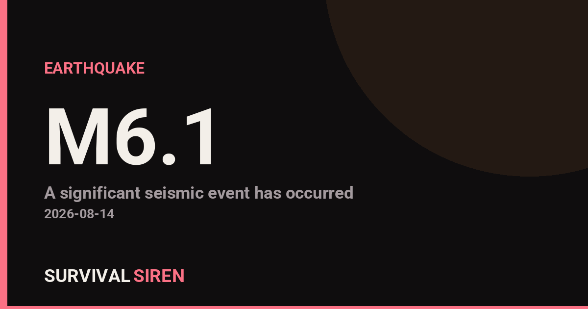
A magnitude 6.1 earthquake occurred approximately 58 kilometers north of Ende, Indonesia, at a shallow depth of 10 kilometers, according to the U.S. Geological Survey. Earthquakes of this magnitude can cause significant damage to older buildings and vulnerable structures in nearby areas.
Ende is located on Flores Island in eastern Indonesia, a region with moderate seismic activity. The shallow depth of this quake means energy was released closer to the surface, potentially increasing impacts in the immediate vicinity. Indonesian authorities and local emergency services are conducting assessments in the affected region.
What You Might Notice
Residents within 30–50 kilometers of the epicenter likely felt strong to very strong shaking. People in Ende and surrounding communities may experience aftershocks over the coming hours and days—these are normal and typically smaller than the main quake. Authorities may issue precautionary warnings for coastal areas, though tsunami risk depends on local seafloor movement.
Who Is Affected: The primary impact zone includes Ende and nearby settlements on Flores Island. Indirect effects could reach other parts of Indonesia through news and social media, but direct hazards are concentrated near the epicenter.
Practical Watch Items
1. Follow official updates: Monitor USGS Earthquake Hazards and Indonesian authorities (BMKG) for revised magnitude estimates and aftershock reports. Early data can shift as seismologists refine measurements.
2. Check on connections: If you have family or contacts in the region, a simple text message uses less bandwidth than calls and is more likely to get through if communications are strained.
3. Consider your own preparedness: Earthquakes are a reminder to secure heavy furniture, identify safe spots in your home, and practice drop-cover-hold-on drills with your household—useful regardless of where you live.
Real-time space weather and seismic data are available at https://survivalsiren.com/spaceweather/feed.html, powered by NOAA and USGS monitoring.
Source: USGS
Related Reading
- Earthquake Survival: Precautions, Kit & Early Warning in 2026
- Analyzing Low-Radiation Nuclear Explosions: Tactical Assessments and Survival Strategies
Sky & Solar Conditions at the Time
Moon: Waxing Crescent (6% illuminated), in Virgo.
Notable planetary angles: Mercury conjunct Jupiter (1°), Mercury sextile Venus (59°), Venus sextile Jupiter (58°).
Concurrent space weather: planetary Kp index 2.0; strongest recent solar flare: nothing notable.
This is a factual snapshot, not a claim of cause and effect – researchers are divided on whether lunar, planetary or solar factors influence seismic or weather activity. It’s included so readers can track the pattern for themselves over time.
Earthquakes Within ~400 km, Past 30 Days
For context, here is other recent seismic activity in the surrounding region (M2.5+, via USGS):
| Date & Time (UTC) | Magnitude | Location |
|---|---|---|
| 2026-08-02 14:17 UTC | M4.6 | 65 km NW of Ende, Indonesia |
| 2026-07-26 10:57 UTC | M5.3 | 25 km NW of Kupang, Indonesia |
| 2026-07-21 11:47 UTC | M4.5 | 142 km NNE of Maumere, Indonesia |
| 2026-07-21 05:05 UTC | M4.4 | 36 km NW of Tambolaka, Indonesia |
| 2026-07-17 13:07 UTC | M4.4 | 100 km S of Tambolaka, Indonesia |
Emergency number for Indonesia: 112 (General guidance – always verify locally, as this can vary by region.)