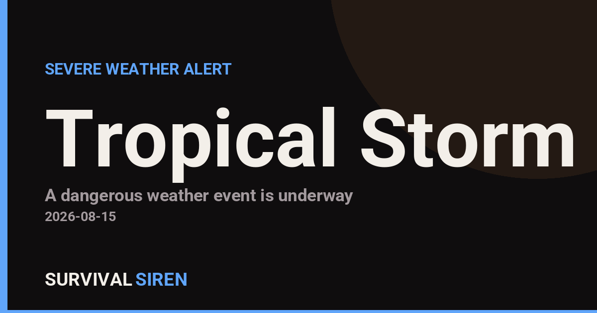
The National Weather Service in Honolulu issued a Tropical Storm Warning on August 14 at 10:40 PM HST, affecting 46 areas across the Hawaiian Islands. The warning covers communities on Oahu, Molokai, Maui, and surrounding regions, including populated areas like the Oahu North Shore, East Honolulu, and Koolau districts.
What This Means
A Tropical Storm Warning means tropical storm conditions are expected within the warning area within the next 24 to 36 hours. Residents in affected zones should prepare for sustained winds of 39 to 73 mph, heavy rainfall, rough seas, and dangerous surf conditions. Power outages, localized flooding, and road closures are possible.
Who Is Affected
All 46 designated areas should treat this as an active threat requiring immediate preparation. This includes residents, businesses, and visitors in these communities. If you’re in one of the warning zones, take this alert seriously and move into the action phase now.
What You Might Notice
Over the next 12 to 36 hours, expect increasing winds, darkening skies, and heavy rain bands moving in. Seas will become rough, and coastal areas may see high surf and minor coastal flooding. Trees and power lines may show stress or fail.
Three Practical Steps
1. Secure Your Surroundings: Bring in outdoor items, trim loose branches, and secure any structures that could be damaged by wind. Ensure gutters and drains are clear for heavy rainfall.
2. Stock Essentials: Fill bathtubs and containers with fresh water, charge all devices and power banks, gather medications, and stock non-perishable food and first-aid supplies. Fill vehicle fuel tanks.
3. Monitor Official Updates: Stay tuned to NWS Honolulu for updated forecasts, watches, and warnings. Download emergency apps and ensure someone in your household receives text alerts.
For real-time space weather and preparedness updates, visit the SurvivalSiren live dashboard at https://survivalsiren.com/spaceweather/feed.html. Data sourced from NOAA and the National Weather Service.
Source: National Weather Service (NWS)
Related Reading
- Emergency Communication: Staying Connected When Towers Go Down
- Earthquake Survival: Precautions, Kit & Early Warning in 2026
- Essential Guide to Preparing for a Nuclear War
Sky & Solar Conditions at the Time
Moon: Waxing Crescent (8% illuminated), in Virgo.
Notable planetary angles: Mercury conjunct Jupiter (1°), Mercury sextile Venus (59°), Venus sextile Jupiter (58°).
Concurrent space weather: planetary Kp index 0.3; strongest recent solar flare: nothing notable.
This is a factual snapshot, not a claim of cause and effect – researchers are divided on whether lunar, planetary or solar factors influence seismic or weather activity. It’s included so readers can track the pattern for themselves over time.