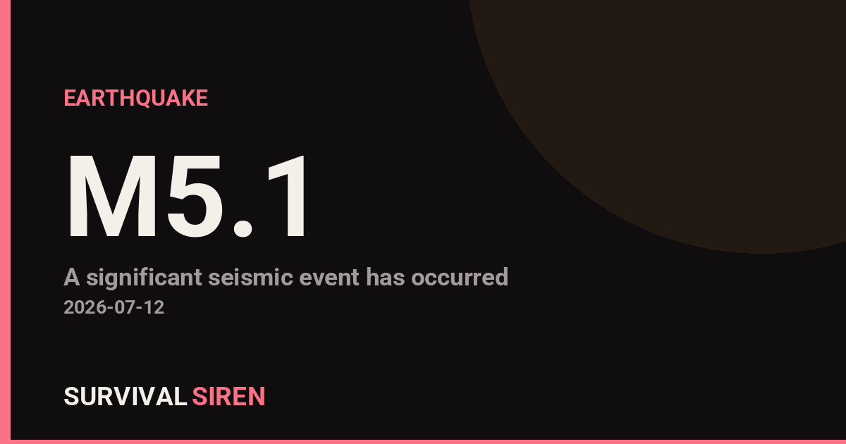
A magnitude 5.1 earthquake occurred 27 kilometers south-southeast of Tambolaka, Indonesia at a depth of approximately 43 kilometers, according to the U.S. Geological Survey (USGS). The moderate-strength quake struck on Tuesday and was felt across the surrounding region.
What This Means
At magnitude 5.1, this earthquake is considered moderate. People in towns and villages within roughly 50-100 km of the epicenter likely felt noticeable shaking lasting several seconds. Furniture may have moved, and some older or poorly constructed buildings in the immediate area could experience minor damage. The relatively deep depth of 43 km reduces the intensity of shaking at the surface compared to a shallow earthquake of the same magnitude.
No tsunami warning has been issued by regional authorities. Earthquakes on land or at significant depth rarely generate dangerous ocean waves unless they occur underwater and involve vertical ground movement.
Who Is Affected
The communities most directly affected are those in West Nusa Tenggara province near Tambolaka. This is a seismically active region, and residents are generally prepared for moderate seismic activity. No major injuries or damage have been reported at this time.
Practical Preparedness Reminders: If you live in earthquake-prone areas, ensure your emergency kit includes water, non-perishable food, a first-aid kit, and a battery-powered or hand-crank radio. Secure heavy furniture and appliances to walls to prevent them from tipping during shaking. Identify safe spots in each room—such as under sturdy tables or against interior walls—where you can take shelter if an earthquake strikes unexpectedly.
For the latest earthquake data and seismic activity, visit the USGS Earthquake Hazards Program. While SurvivalSiren tracks space weather events, significant geological events like this are also part of comprehensive preparedness awareness.
Source: USGS
Related Reading
Sky Conditions at the Time
Moon: Waning Crescent (5% illuminated), in Gemini.
Notable planetary angles: Sun conjunct Mercury (1°).
This is a factual snapshot, not a claim of cause and effect – researchers are divided on whether lunar, planetary or solar factors influence seismic or weather activity. It’s included so readers can track the pattern for themselves over time.
Earthquakes Within ~400 km, Past 30 Days
For context, here is other recent seismic activity in the surrounding region (M2.5+, via USGS):
| Date & Time (UTC) | Magnitude | Location |
|---|---|---|
| 2026-07-17 13:07 UTC | M4.4 | 94 km S of Tambolaka, Indonesia |
| 2026-07-14 09:52 UTC | M4.4 | 25 km SE of Tambolaka, Indonesia |
| 2026-07-03 17:14 UTC | M4.8 | 30 km SE of Tambolaka, Indonesia |
| 2026-06-28 21:43 UTC | M4.9 | 173 km S of Lembar, Indonesia |
| 2026-06-24 15:42 UTC | M4.3 | 24 km SSE of Tambolaka, Indonesia |
Emergency number for Indonesia: 112 (General guidance – always verify locally, as this can vary by region.)