

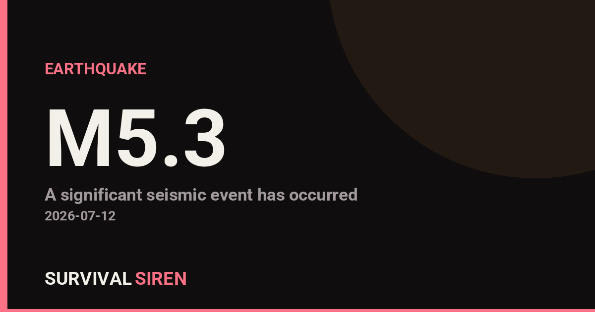
A magnitude 5.3 earthquake struck 192 km WNW of Gorontalo, Indonesia at a depth of about 35 km, reported by the USGS. Shaking would likely be felt in the surrounding region.
What this means for you
Most space weather passes without anyone noticing – but events like this are exactly why we watch the data. If conditions escalate, the first things affected are GPS accuracy, shortwave radio and, in severe cases, power grids. Now is a good moment to make sure your devices are charged and you know where your backup light sources are.
We track this in real time on our Space Weather Command Center – live storm levels, aurora maps and official NOAA alerts, explained in plain English.
Detected automatically from NOAA Space Weather Prediction Center data, July 12, 2026 at 14:15 UTC.
Source: USGS
Related Reading
Sky Conditions at the Time
Moon: Waning Crescent (5% illuminated), in Gemini.
Notable planetary angles: Sun conjunct Mercury (1°).
This is a factual snapshot, not a claim of cause and effect – researchers are divided on whether lunar, planetary or solar factors influence seismic or weather activity. It’s included so readers can track the pattern for themselves over time.
Earthquakes Within ~400 km, Past 30 Days
For context, here is other recent seismic activity in the surrounding region (M2.5+, via USGS):
| Date & Time (UTC) | Magnitude | Location |
|---|---|---|
| 2026-07-20 13:36 UTC | M4.4 | 156 km WNW of Gorontalo, Indonesia |
| 2026-07-12 10:05 UTC | M4.7 | 80 km WSW of Gorontalo, Indonesia |
| 2026-07-02 05:50 UTC | M4.5 | 96 km WSW of Gorontalo, Indonesia |
| 2026-06-27 23:37 UTC | M4.3 | 61 km N of Modisi, Indonesia |
| 2026-06-27 07:17 UTC | M4.1 | 62 km SE of Gorontalo, Indonesia |
| 2026-06-24 09:00 UTC | M4.4 | 51 km NW of Poso, Indonesia |
| 2026-06-24 01:02 UTC | M4.0 | 72 km W of Manado, Indonesia |
| 2026-06-21 07:41 UTC | M4.2 | 55 km E of Palu, Indonesia |
Emergency number for Indonesia: 112 (General guidance – always verify locally, as this can vary by region.)
1 Comment