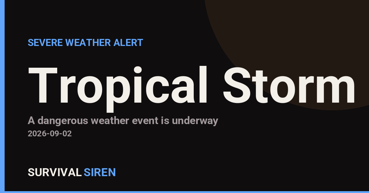
The National Weather Service office in Lake Charles, Louisiana issued a Tropical Storm Warning for East Cameron Parish at 4:02 PM CDT on September 1. A Tropical Storm Warning means tropical storm conditions — sustained winds of 39 to 73 mph — are expected in the warned area within 36 hours. If you live in or near East Cameron, this is the time to finish preparations, not to start planning them.
East Cameron sits along the southwest Louisiana coast, a low-lying area that includes communities such as Cameron and the surrounding coastal marsh and energy-industry zones. Residents in this area should expect gusty winds, heavy rain bands, and the potential for coastal flooding and storm surge along the shoreline and in low-lying roads. Power outages are possible as winds strengthen, and travel on coastal routes may become hazardous or restricted.
What you might notice over the coming hours: steadily increasing winds, periods of intense rain, rough surf, and rising water in flood-prone spots. Conditions typically deteriorate fastest in the hours just before the worst of the storm arrives.
What to do now
1. Secure loose outdoor items — patio furniture, trash cans, and anything that could become a wind-driven projectile. Bring pets indoors.
2. Charge devices and prepare for outages. Fill your vehicle’s gas tank, charge phones and power banks, and keep flashlights and batteries handy. If you rely on powered medical equipment, confirm your backup plan now.
3. Know your evacuation route. Cameron Parish has historically ordered evacuations ahead of tropical systems. Follow instructions from parish officials and be ready to leave if an evacuation is ordered, especially if you are in a low-lying or surge-prone location.
This alert is based on data from the National Weather Service office in Lake Charles, Louisiana.
Frequently Asked Questions
What does a Tropical Storm Warning actually mean?
It means sustained winds of 39 to 73 mph are expected in East Cameron within 36 hours. Preparations should be completed as soon as possible, before conditions worsen.
What should I do right now?
Secure outdoor items, charge phones and power banks, fuel your vehicle, and monitor updates from NWS Lake Charles and Cameron Parish officials. If officials order an evacuation, leave promptly.
Is storm surge a concern for East Cameron?
Yes — East Cameron is a low-lying coastal parish, and tropical systems can push water onto shore and into coastal roads. Follow local evacuation guidance if you are in a surge-prone area.
How long will these conditions last?
The warning indicates conditions are expected within 36 hours of issuance. The worst weather typically passes within several hours to a day once the storm arrives, but check NWS updates for timing specific to this system.
Keep tracking this: the Space Weather Command Center shows live storm levels, aurora visibility and active alerts in plain English, and the Event Database is a searchable log of every alert we’ve tracked – earthquakes, solar flares, CMEs and geomagnetic storms, free to search or download.
Source: National Weather Service (NWS)
Related Reading
- Emergency Communication: Staying Connected When Towers Go Down
- Earthquake Survival: Precautions, Kit & Early Warning in 2026
- Essential Guide to Preparing for a Nuclear War
Sky & Solar Conditions at the Time
Moon: Waning Gibbous (76% illuminated), in Taurus.
Notable planetary angles: Jupiter trine Saturn (120°), Mars square Saturn (90°), Mercury sextile Mars (60°), Sun trine Moon (122°).
Concurrent space weather: planetary Kp index 0.7; strongest recent solar flare: nothing notable.
This is a factual snapshot, not a claim of cause and effect – researchers are divided on whether lunar, planetary or solar factors influence seismic or weather activity. It’s included so readers can track the pattern for themselves over time.