Skip to content
Latest
Earthquake Alerts

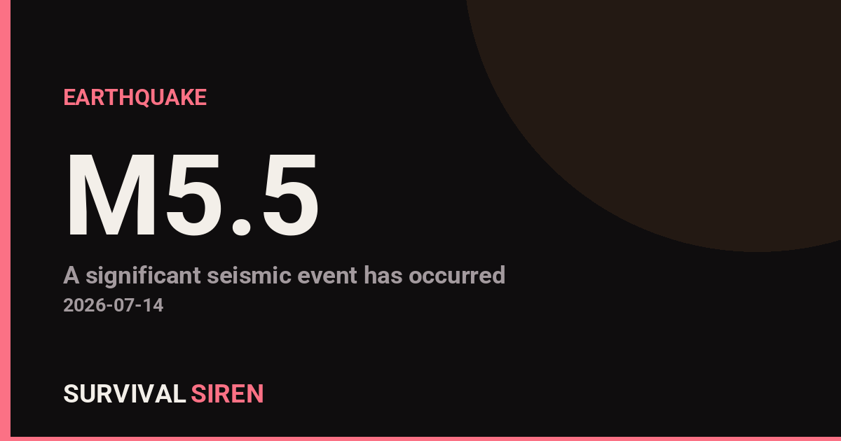
M5.5 Earthquake – Fiji region

Danial Ahmed Danial Ahmed
Updated September 2, 2026
M5.5 Earthquake - Fiji region

A magnitude 5.5 earthquake struck Fiji region at a depth of about 574 km, reported by the USGS. Shaking would likely be felt in the surrounding region.

What this means for you

Most space weather passes without anyone noticing – but events like this are exactly why we watch the data. If conditions escalate, the first things affected are GPS accuracy, shortwave radio and, in severe cases, power grids. Now is a good moment to make sure your devices are charged and you know where your backup light sources are.

We track this in real time on our Space Weather Command Center – live storm levels, aurora maps and official NOAA alerts, explained in plain English.

Detected automatically from NOAA Space Weather Prediction Center data, July 14, 2026 at 23:15 UTC.

Source: USGS
Related Reading

Related Stories

M6.0 Deep Earthquake Strikes Southeast of Shima, Japan

A magnitude 6.0 earthquake struck 58 km SSE of Shima, Japan at a depth of about 352 km, reported by the USGS. Earthquakes of this size can cause significant damage to vulnerable structures near the epicenter. This is at least the 7th magnitude 5.0+ earthquake recorded within roughly 300 km of this location in the past year (6 others in that window). The nearest major population center is Osaka, Japan, roughly 167 km away (population ~19 million).

Magnitude 6.2 Earthquake Strikes Near Port-Olry, Vanuatu

A magnitude 6.2 earthquake struck 43 km ESE of Port-Olry, Vanuatu at a depth of about 143 km, reported by the USGS. Earthquakes of this size can cause significant damage to vulnerable structures near the epicenter. This is at least the 76th magnitude 5.0+ earthquake recorded within roughly 300 km of this location in the past year (75 others in that window). The nearest major population center is Port Vila, Vanuatu, roughly 297 km away (population ~50,000).

Magnitude 6.4 Earthquake Strikes Southeast of Easter Island

A magnitude 6.4 earthquake struck southeast of Easter Island at a depth of about 10 km, reported by the USGS. Earthquakes of this size can cause significant damage to vulnerable structures near the epicenter. This is at least the 3rd magnitude 5.0+ earthquake recorded within roughly 300 km of this location in the past year (2 others in that window). The nearest major population center is Concepcion, Chile, roughly 2225 km away (population ~1.1 million).

Leave a Reply

Join our Newsletter

Subscribe to get our latest content by email.

We won't send you spam. Unsubscribe at any time.